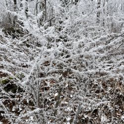
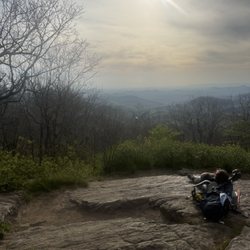
Hancock Park Photos


You might also consider
More like Hancock Park
Recommended Reviews - Hancock Park
Start your review...

11 years ago
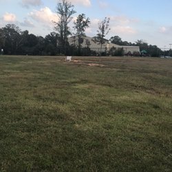
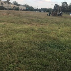
Hancock Park is located in Historic Downtown Dahlonega at North Meaders Street and Warwick Street. It is a nice open park and I first noticed it when attending the Gold Rush Festival. During this festival the park hosts church services on Sunday mornings and they always have a great turn out. Besides a great concert pavilion, this park has one of the most fascinating exhibits: The River Diving Bell exhibit, which is show cased in its own pavilion. This Bell was used to mine for gold back in the day, (1875) and it took a great effort, (over several years) to remove it, restore it, and move it to the park. A great deal of research was involved in understanding the construction and use of this bell. Great descriptions and photos are included with the display which is the only one of its kind in the United States. This park also hosts the farmer's market, has relaxing bench swings and a nice green space for outdoor activities. I love the Maibaum Tree which is a large metal structure that is a visual depiction of the city's history. It has several levels and each level tells a different story, from early settlers to modern day activities on the Square. This park is a nice addition to the square and a perfect place to relax, have lunch and just enjoy the view. read more


More info about Hancock Park
Hawkins St
Dahlonega, GA 30533
Directions
Hours
Outdoor Amenities


Hancock Park - parks - Updated August 2026
Best of Dahlonega
People found Hancock Park by searching for…
Places to Take Pictures in Dahlonega, GA
River Swimming in Dahlonega, GA
Fun Things to Do at Night in Dahlonega, GA
Walking Trails in Dahlonega, GA
Fun Things to Do With Teens in Dahlonega, GA
Running Trails in Dahlonega, GA
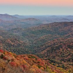
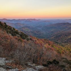
Scenic Overlook in Dahlonega, GA
Places to Walk Around in Dahlonega, GA
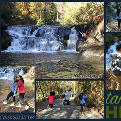
Hiking Trails With Waterfalls in Dahlonega, GA
Trending Searches in Dahlonega, GA
Cliff Jumping near Hancock Park
Cruising Spots near Hancock Park
Dog Friendly Beaches near Hancock Park
Flower Fields near Hancock Park
Indoor Mini Golf near Hancock Park
Jet Ski Rental near Hancock Park
Kayak Rental near Hancock Park
Kids Activities Indoor near Hancock Park
Peach Picking near Hancock Park
Places To Walk Around near Hancock Park
Public Beaches near Hancock Park
Rainy Day Activities near Hancock Park
River Swimming near Hancock Park
Scenic Drive near Hancock Park
Sunrise View near Hancock Park
Swimming Holes near Hancock Park
Things To Do On A Rainy Day near Hancock Park
Things To Do With Kids near Hancock Park
Browse Articles
Browse Nearby
BEST of Dahlonega, Georgia Restaurants near Hancock Park
BEST of Dahlonega, Georgia Coffee near Hancock Park
BEST of Dahlonega, Georgia Things to Do near Hancock Park
BEST of Dahlonega, Georgia Playgrounds near Hancock Park
BEST of Dahlonega, Georgia Breakfast near Hancock Park
BEST of Dahlonega, Georgia Picnic Areas near Hancock Park
BEST of Dahlonega, Georgia Caves near Hancock Park
Browse Brands
Related Searches in Dahlonega, GA
Best Nature Trails for Hiking in Dahlonega, Georgia
Best Off Leash Dog Parks in Dahlonega, Georgia
Best Parks for Parties and Events in Dahlonega, Georgia
Best Water Parks for Kids in Dahlonega, Georgia
Check Out Great Playgrounds in Dahlonega, Georgia
Discover Baseball Fields Around Dahlonega, Georgia
Discover Fun Toddler Parks in Dahlonega, Georgia for Your Little One
Discover Popular Bike Trails in Dahlonega, Georgia
Discover Soccer Fields in Dahlonega, Georgia Near You
Discover Top Nature Parks to Visit in Dahlonega, Georgia
Discover Top State Parks to Visit in Dahlonega, Georgia
Discover the Best Beaches in Dahlonega, Georgia
Enjoy Hiking Adventures in Dahlonega, Georgia
Enjoy the Best Picnic Spots and Ideas in Dahlonega, Georgia
Enjoy the Best Walking Trails in Dahlonega, Georgia
Explore Easy Hikes Perfect for All in Dahlonega, Georgia
Explore Family-Friendly Zoos and Wildlife in Dahlonega, Georgia
Explore Free Picnic Areas Around Dahlonega, Georgia
Explore Fun Activities to Do in Dahlonega, Georgia
Explore Parks With Pull Up Bars in Dahlonega, Georgia
Explore Picnic Parks Near Dahlonega, Georgia
Explore Popular Campgrounds Near Dahlonega, Georgia
Explore Popular Picnic Areas Around Dahlonega, Georgia
Explore Popular RV Parks Around Dahlonega, Georgia
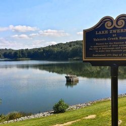
Explore Scenic Lakes to Visit in Dahlonega, Georgia
Explore Top Dog Parks in Dahlonega, Georgia Near You
Explore Top Trampoline Parks in Dahlonega, Georgia
Explore Top Water Parks in Dahlonega, Georgia Today
Find Great Places to Feed Ducks in Dahlonega, Georgia
Find Parks and Recreation Activities in Dahlonega, Georgia
Find Top Dog Friendly Parks to Visit in Dahlonega, Georgia
Find Top Skate Parks in Dahlonega, Georgia for All Skill Levels
Find a Kids Birthday Party Park in Dahlonega, Georgia
Find a Park With BBQ Pits in Dahlonega, Georgia
Find the Best Parks BBQ Grills in Dahlonega, Georgia
Find the Best Parks for Picnics in Dahlonega, Georgia
Find the Best Playgrounds to Visit in Dahlonega, Georgia
Have Fun at a Splash Pad in Dahlonega, Georgia
Locate Tennis Courts Around Dahlonega, Georgia
Picnic Areas With BBQ Pits Available in Dahlonega, Georgia
Popular Picnic Spots to Visit in Dahlonega, Georgia
Popular Places to Walk Around in Dahlonega, Georgia
Safe and Fun Parks for Kids in Dahlonega, Georgia
Top Amusement Parks to Visit in Dahlonega, Georgia
Top Hiking Trails to Explore in Dahlonega, Georgia
Top Playgrounds for Kids to Enjoy in Dahlonega, Georgia
Top Running Trails to Explore in Dahlonega, Georgia
Top Swimming Lakes to Enjoy in Dahlonega, Georgia


