San Andreas Fault Photos


You might also consider
More like San Andreas Fault
Recommended Reviews - San Andreas Fault
Start your review...

2 months ago


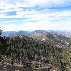
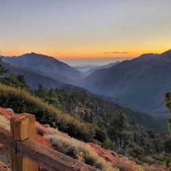
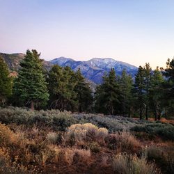
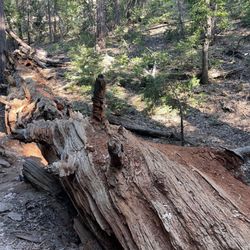
The San Andreas fault runs 800-miles throughout most of California. It's formed by the interaction of the Pacific Plate and the North American Plate. It has been described as "a slow motion crash between continents." The plates glide and compress against each other, transforming the landscape and shaking the earth. The Devil's Punchbowl Natural Area offers a San Andreas Fault tour every Sunday at 1 p.m. You get to view how the fault has lifted large sandstone rocks to their current upright position. The park ranger leads a short discussion on the famous fault and even passes out photos. After the talk you get can follow him in your car, a couple miles outside of the park, where he takes you to the center of the fault and then to Pallett Creek Trench. Pallett Creek Trench is the site that launched the science of studying earthquakes. In the late 1970s Kerry Sieh was a Stanford Ph.D. student when he used backhoes to dig large trenches through old pond deposits to unearth different layers of soil. Like rings of a tree, the various layers revealed the geology of it's time. The black lines represent soot from past fires. You're are able to see how the various shifts in the soil represent the movement of the fault. It's pretty fascinating. Another good location to view the fault from a different perspective is located off the 14-fwy in Palmdale. The site is called the Palmdale Road Cut. It is a section of the fault that has been blasted away by construction crews in order to make way for the 14 freeway. It offers a window into the million-year tango of the two sides. Park at Pelona Vista Park in Palmdale and walk to the top of the hill where you can observe the slow motion action taking place. read more


More info about San Andreas Fault
28000 Devils Punchbowl Rd
Pearblossom, CA 93553
Directions
(661) 944-2743
Call Now
Hours
Outdoor Amenities
Other Amenities
You might also consider


Why does Yelp recommend reviews?
San Andreas Fault - hiking - Updated May 2026
Best of Pearblossom
People found San Andreas Fault by searching for…
Things to Do in Pearblossom, California
Tours in Pearblossom, California
Parks in Pearblossom, California
Hiking Trails in Pearblossom, California
Off Road Trails in Pearblossom, California
Walking Tours in Pearblossom, California
Nature in Pearblossom, California
Historical Sites in Pearblossom, California
Lakes & Ponds in Pearblossom, California
Lookout Points in Pearblossom, California
Urban Exploration in Pearblossom, California
Creeks in Pearblossom, California
Romantic Getaway in Pearblossom, California
Nature Parks in Pearblossom, California
Scenic Night View in Pearblossom, California
What to Do in Pearblossom, California
Beautiful Views in Pearblossom, California
Walking Trails in Pearblossom, California
Nature Center in Pearblossom, California
Places to Visit in Pearblossom, California
Waterfall in Pearblossom, California
Romantic Restaurants With a View in Pearblossom, California