Mescal Wildlife Sanctuary Photos


You might also consider
More like Mescal Wildlife Sanctuary
Recommended Reviews - Mescal Wildlife Sanctuary
Start your review...

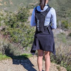
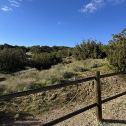
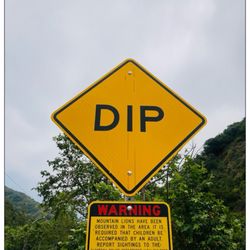
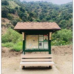
Los Angeles County had the foresight to set aside parcels of land such as this sanctuary to preserve native habitat of the county for future generations. Mescal Wildlife Sanctuary contains a beautiful stand of Joshua tree, as well as juniper and wildflowers. It's located in the eastern portion of the Antelope Valley, accessible by unpaved road. Gorgeous views of the San Gabriel Mountains form the background for the sanctuary. Look out for snakes, take plenty of sunscreen and water, and probably a hat. Spring seems to be the best time to visit. Free parking and no admission for this adventure! read more


More info about Mescal Wildlife Sanctuary
238th St E
Llano, CA 93544
Directions
Hours
Outdoor Amenities
You might also consider


Mescal Wildlife Sanctuary - hiking - Updated May 2026
Best of Llano
People found Mescal Wildlife Sanctuary by searching for…
People who viewed Mescal Wildlife Sanctuary also viewed
Phacelia Wildlife Sanctuary
1 review
Lake Palmdale
1 review
San Gabriel Mountains National Monument & Hiking Trails
1 review
Mt Hillyer
2 reviews
Theodore Payne Wildlife Sanctuary
1 review
William J McAdam Park
7 reviews
Carl O Gerhardy Wildlife Sanctuary
2 reviews
Mount Baden-Powell Trail
65 reviews
Indian Rock Camp
4 reviews
Mojave Riverwalk Trailhead
7 reviews