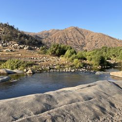
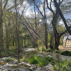
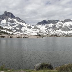
General Grant Tree Photos


You might also consider
More like General Grant Tree
Recommended Reviews - General Grant Tree
Start your review...

3 months ago
Wow!!! What an experience. I've been here once before in 2017 and I'm still in awe at this amazing tree. We were going to walk to General Grant Grove from the visitors center as it's only a mile walk, but we couldn't find the trail. According to the ranger most people drive, but after driving for 2 hrs to get here we really wanted to walk. We drove the less than 5 min drive from the visitors center and parked in the overflow lot as the main lot was full. We tumbled out of the car and made our first pot stop to the bathroom. Warning there is no soap so either bring some or do as I did and used hand sanitizer. We then embarked on the short half mile loop to visit General Grant. This was my husband's first time and didn't know what to expect in this trip. The first unexpected part of the trip was the long drive from Lindsay and the hair pin turns. We took 198 to 245. I don't recommend this path. It was 2 hrs going 10pm at times due to the hair pin turns. The half mile loop was just my speed. I'm not a big hiker. Some fun facts: Genera Grant is also known as the Nation's Christmas Tree according to the sign in front of the tree. Later I looked it up and it was designated by President Calvin Coolidge in 1926 General Grant is 1,700 years old. I can't really grasp that. My own family tree doesn't go back that far. I'm hoping to die gratefully before 100 so this is well beyond any lifespans that I know of. General Grant is fenced off to protect it. But it reads that if 20 people held hands they would surround it. General Grant is 40 feet across. read more


More info about General Grant Tree


General Grant Tree - parks - Updated July 2026
Best of California
People found General Grant Tree by searching for…
Fishing Spots in California, California
River Swimming in California, California
Things to Do in California, California
Visitor Centers in California, California
Watch Sunset in California, California
Walking Trails in California, California
Scenic Drive in California, California
National Parks in California, California
Pokemon Go in California, California
Parks and Recreation in California, California
Parks BBQ Grills in California, California
Redwood Trees in California, California
Lakes for Swimming in California, California
Night View in California, California
Easy Hikes in California, California
Hiking Trails With Waterfalls in California, California
Waterfall in California, California
Dog Swimming in California, California
Scenic Overlook in California, California
Picnic Spots in California, California
Snow Park in California, California
State Parks Camping in California, California
Browse Nearby
BEST of California, California Restaurants near General Grant Tree
BEST of California, California Things to Do near General Grant Tree
BEST of California, California Coffee near General Grant Tree
BEST of California, California Breakfast near General Grant Tree
BEST of California, California Shopping near General Grant Tree
BEST of California, California Campgrounds near General Grant Tree
BEST of California, California Lodging near General Grant Tree