Moro Rock Photos


You might also consider
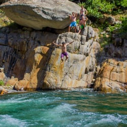
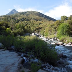
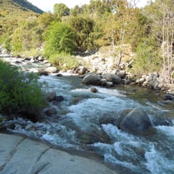
More like Moro Rock
Recommended Reviews - Moro Rock
Start your review...

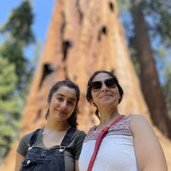
2 months ago
I recently visited Moro Rock, and it was honestly one of the most breathtaking experiences I've had in Sequoia National Park. The hike itself is short but definitely a workout, the stairs are steep, and you'll feel it, especially if you're not used to higher elevations. That said, every step is worth it. As you climb, the views just keep getting better, and once you reach the top, it's absolutely stunning. You get a panoramic view of the Sierra Nevada mountains, deep valleys, and endless forest -- it really puts into perspective how massive and beautiful nature is. One thing to keep in mind: it can get crowded, especially during peak hours, and the stairs are narrow, so you may have to wait at certain points. Also, if you're afraid of heights, some sections might feel a bit intense since there are steep drop-offs, although there are railings for safety. Overall, Moro Rock is a must-visit if you're in the park. It's a relatively quick hike with a huge payoff, and definitely one of the highlights of the trip. Highly recommend going early in the morning or around sunset for the best experience. read more


More info about Moro Rock


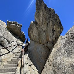


Moro Rock - hiking - Updated May 2026
Best of Sequoia National Park
People found Moro Rock by searching for…
Parks in Sequoia National Park, CA
Things to Do in Sequoia National Park, CA
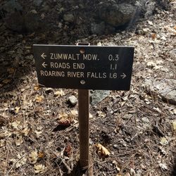
Hiking Trails With Waterfalls in Sequoia National Park, CA
Secret Spots in Sequoia National Park, CA
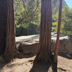
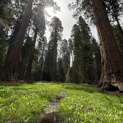
Redwood Trees in Sequoia National Park, CA
Off Road Trails in Sequoia National Park, CA
Sunset View in Sequoia National Park, CA
Cruising Spots in Sequoia National Park, CA
Walking Trails in Sequoia National Park, CA
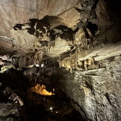
Caves in Sequoia National Park, CA
Places to Take Pictures in Sequoia National Park, CA
Easy Hikes in Sequoia National Park, CA
Sand Dunes in Sequoia National Park, CA
View Points in Sequoia National Park, CA
Swimming in Sequoia National Park, CA
Dog Hiking Trails in Sequoia National Park, CA
To Do in Sequoia National Park, CA
Running Trails in Sequoia National Park, CA
Lakes & Ponds in Sequoia National Park, CA
Park & Forests in Sequoia National Park, CA
Trail in Sequoia National Park, CA
Scenic View in Sequoia National Park, CA
Browse Nearby
BEST of Sequoia National Park, California Restaurants near Moro Rock
BEST of Sequoia National Park, California Coffee near Moro Rock
BEST of Sequoia National Park, California Parks near Moro Rock
BEST of Sequoia National Park, California Campgrounds near Moro Rock
BEST of Sequoia National Park, California Breakfast near Moro Rock
BEST of Sequoia National Park, California Hotels near Moro Rock