The Sunset Ridge Trail Photos



You might also consider


More like The Sunset Ridge Trail
Recommended Reviews - The Sunset Ridge Trail
Start your review...



6 years ago
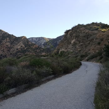
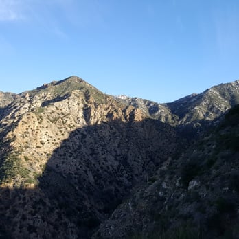
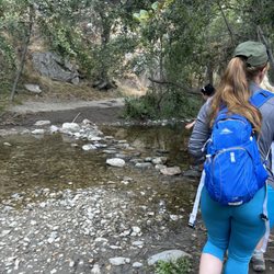
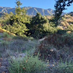
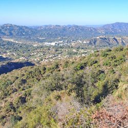
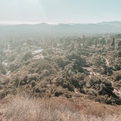
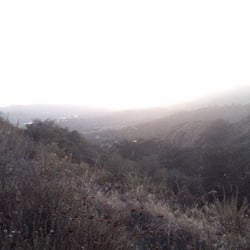
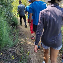
AMAZING! A very steep trail I might add. We only did 3.5 miles, only half of the trail. The trail is very narrow and rocky. I highly recommend to wear good hiking shoes because it can be a bit slippery. The best part was the views of the mountains and how quiet and serene it looked. Definitely a place to burn off your calories. I would rate this trail as hard. read more


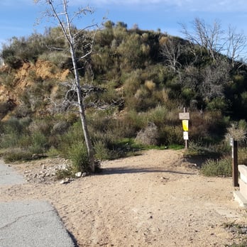
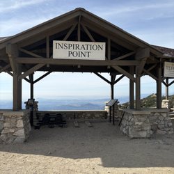
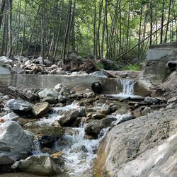
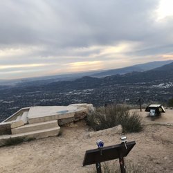
What a great historical hike to Inspiration Point, with the Mt Lowe Railway dating back to 1915. It was 13 miles round trip with 2,700 feet of elevation gain. Throughout the trail you have the choices to stay on the Mt Lowe Road or to take the more narrow and senic Sunset Ridge Trail. Too bad there aren't more ruins left behind. On the way down from our hike we even found about 12 emergency vehicles parked by the 'Cape of Good Hope', even a Coroner's truck... something I didn't expect to see on a hike. Turns out some hikers found a human (femur) leg bone on Echo Mountain. You can use this address, or the directions below since my GPS wanted to take me in a very indirect way. 4041 Chaney Tail, Altadena, Ca, 91001 From the Westbound 210 Fwy/ exit Rt on Lake Ave / Lt on Loma Alta Dr. / Rt on Chaney Trail (at the yellow flashing light) to a gate that opens at 6am. From the gate go 1.4 miles to the 2nd larger Millard Camp Ground parking lot. You need to display a Wilderness Adventure Parking Pass. * Millard Camp Ground Trailhead (1,838') * 0.8 miles - The Sunset Ridge dirt trail reaches the wide asphalt Mt Lowe Road. * 1.04 - On the wide Mt Lowe Road, the narrow dirt Sunset Ridge Trail takes off to the left. It will meet up with the road again in 1.2 miles. * We took the wide road up and went down the Sunset Ridge Trail. Next time I will just take the nicer and more senic dirt trail up and down. * 2.16 - The Mt Lowe Road splits. We went to the left to stay in the shade, but they both meet up later. * 2.22 - While on the Mt Lowe Road, the Sunset Ridge Trail meets up with the road then continues up a narrow dirt trail. We took this dirt trail. * 2.95 - The narrow dirt Sunset Ridge Trail meets up with the Mt Lowe Road again. * 3.00 - Mt Lowe Road / Echo Mountain trail junction. Stay on the road for Inspiration Point. * 3.26 - Mt Lowe Road / Dawn Mine Trail junction. * 5.56 - Mt Lowe Trail Camp / Ye Alpine Tavern (4,420'). The tavern burned in 1936. There are only picnic tables and a couple of signs there now. Continue up the wide dirt road. * 5.90 - Reach a multi trail junction saddle. * Far Left heads to Mt Wilson Road * Next junction to the right heads to Idlehour & Mt Wilson Toll Road. * Next junction to the right heads to Inspiration Pt. * Far right junction is the Sam Merrill Trail to Echo Mtn & Cobb Estate * 6.17 - Reached Inspiration Point (4,540'). The Pacific Electric Railway originally built this in 1924. * Castle Canyon Trail junction here. Heads to Echo Mtn in 2 miles & Lake Ave. Trlhd in 4.7 miles. * 6.46 - We headed back down to the multi trail junction saddle and headed down the Sam Merrill Trail. A very nice rolling narrow dirt trail. Heading down you get a great view of the LA city below. * 7.15 - The Sam Merrill trail heads to the left towards Echo Mountain. We took the small dirt trail to the right towards the ridge crest and down the steep descent on the loose dirt. The view was awesome here! It felt like the Devil's Backbone of Altadena. * 7.82 - This dirt trail ends up back at the Mt Lowe Road with a 4 foot drop off near the 'Circular Bridge' trail sign. On the way down we took the narrow Sunset Ridge Trail. This trail was very nice, most of it was in the appreciated shade during the hotter afternoon. It also passes by a cool cabin, which is where you can also catch a trail to the Dawn Mine. You will also get a great view of the Millard Waterfall after the cabin. * 13.0 miles - Back at the Millard Camp Ground Trailhead. read more




More info about The Sunset Ridge Trail
You might also consider




















Why does Yelp recommend reviews?
1 review that is not currently recommended
The reviews below are not factored into the business's overall star rating.

7 years ago


