The Pacific Crest Trail Photos


You might also consider


More like The Pacific Crest Trail
Recommended Reviews - The Pacific Crest Trail
Start your review...



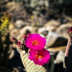
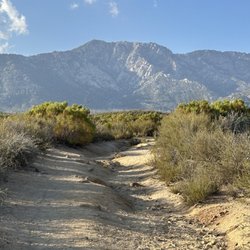
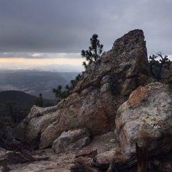
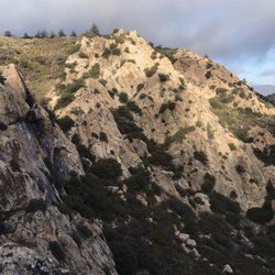
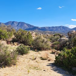
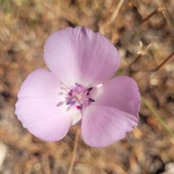
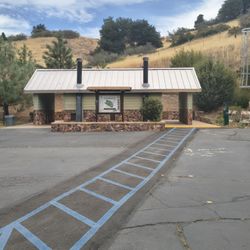
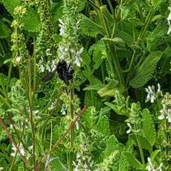
I always get really excited when I find a piece of the PCT lol! The PCT (or Pacific Crest Trail) is part of the coveted "Triple Crown of Hiking" title that very few hikers have achieved. The Triple Crown consists of the PCT, the Appalachian Trail and the Continental Divide Trail - the three longest north-to-south trails in the US. And to earn the title, you must do all three in their entirety! Now I know I'll never achieve that - and I'm well aware I won't ever even achieve doing just one of these - but I still get giddy doing a piece of them! So far I've done pieces of the PCT and the Appalachian- so two down, one to go haha! The PCT is 2653 miles long and runs from just south of Campo, California next to the border with Mexico all the way up to a spot on the Canada-US border. It passes through 25 national forests and 7 national parks! You can find pieces of it all over SoCal - too many spots to name here but if you look it up on Wiki it lists them all! Some of the more notable locations are at places like Vasquez Rocks, Anza-Borrego Desert State Park, Crystal Lake, and Big Bear. But my personal fave is just past the Blue Ridge Trail in Wrightwood (pictured in all my photos). Once you complete the Blue Ridge Trail, you'll find the PCT just past the campground - keep on it for another 1 - 1.5 miles and BOOM - you're hit with some incredible views of the back of the San Gabriel Mountains and some of its more iconic peaks such as San Antonio Peak and Mount Baden-Powell. I highly recommend using AllTrails and download the trail map bc signal is spotty here and you'll need it bc the PCT isn't obvious even though you'll find the iconic signs for photo ops in some spots. It does add another 1 to 1.5 miles to the hike and another 300+ feet in elevation gain to the already 1000+ feet of the Blue Ridge Trail. But you'll be over 8100 feet in the air at the top with amazing views and even lots of birds and wildflowers in September!! You may even get snow as far as into late April! This part of the PCT crosses the Blue Ridge Truck Trail - so you can actually drive up to this spot but it's not paved and is rocky and very bumpy so be aware. The hiking trail is well maintained. And the campground at the top has vault toilets (but no potable water). If you tie it in with the Blue Ridge Trail, you're looking at a total of 3 miles in and an elevation gain of over 1380+ feet (one way) - so 6 miles total. But it makes for a great morning - gorgeous views, tons of birds, hardly any other hikers during the week, lots of peace and quiet! One of my fave trails in the area! If you do this route, I'd call it a moderate and somewhat technical hike - definitely not for beginners. If you do it in the snow, it's hard and very technical (I've done both). But if you drive up and just do this tiny part of the PCT by itself it's pretty easy. read more


7 years ago
I only did 37 miles on this trail from Warner Springs to the Cafe Valley. BUT let me tell you the experience I had was an unforgettable and well worth pooping outside for! Loved it and plan to go back. read more


9 years ago
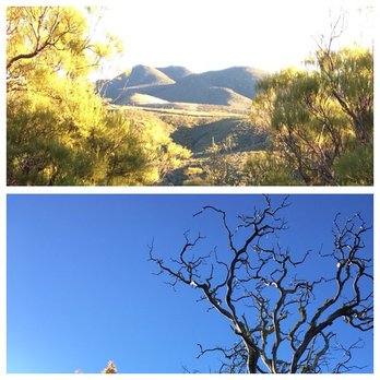
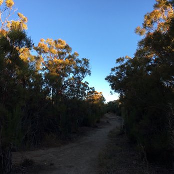
Spectacular! Ranges from Easy to Moderate. Little tricky to find and it isn't even on the All Trails app. The trails are in excellent condition and there was NO trash anywhere. Not even one scrap. Beautiful plants and trees and panoramic views. read more



16 years ago
More info about The Pacific Crest Trail
Highway 74
Anza, CA 92539
Directions
Hours
Outdoor Amenities