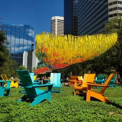
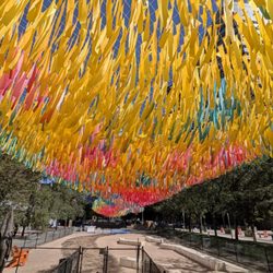
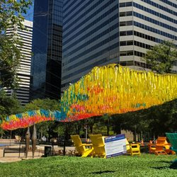
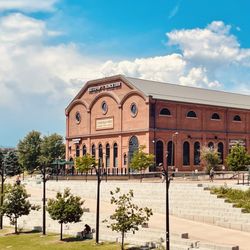
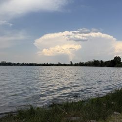
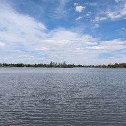
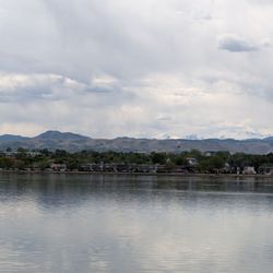
South Platte River Trail Photos


You might also consider


More like South Platte River Trail
Recommended Reviews - South Platte River Trail
Start your review...


Reviews With Photos


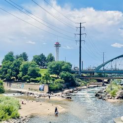
I only biked the Downtown section so the rest of the trail might be better. Some pleasant skyline views, but it felt desolate in a not so peaceful way. Currently, around 8th Ave they are doing construction work and there are two detour points. Also, I would skip the section parallel to HWY 25. Not the most pleasant watching traffic. It intersects with Cherry Creek at Confluence Park, so I hopped over to avoid the aforementioned areas.


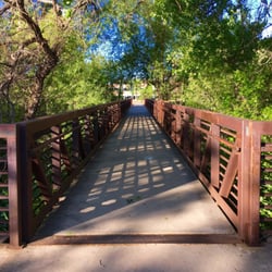
I just ran on the downtown portion of this trail about a mile each way. I loved it! What I like is how there are so many bridges where you can run back and forth across the river and it's fairly flat, with just a couple of inclines. Some parts (esp when going under bridges) are narrow so if you're running like me, you have to watch out for the Lance Armstrong wanna-be's who feel it is necessary to go at top speed around blind corners but otherwise it is easy for runners and bikers to share the trail. As others mention, there are a lot of people who seem live along the trail and you can see encampments along the river but I wasn't harassed or bothered. There is some construction going on near the confluence part so you need to be careful of that, but otherwise this is a great urban trail.


This past weekend Carrie J and I decided to hop on the Platte River Trail with our bikes and take it up to Avanti for lunch. PRO's ++ I love that the portion we rode was fairly flat. There were a couple inclines, but nothing too strenuous. ++ Paths are wide enough for at least single lane traffic each direction. ++ Tons of connecting paths to get you both on and off the trail. These paths were pretty well marked. ++ Ample spots to take breaks and rest for a few if you need to. ++ Other bikers seem to be fairly friendly. CON's -- There is a large presence of homeless people along the trail. While they didn't bother us, I can see how that might bother some people. -- On the right day, with the wind blowing the right way, you can definitely smell the wastewater treatment plants. Seems to be stronger towards the Commerce City/Henderson areas. We did 12 miles round trip and it wasn't nearly as exhausting as I thought it may be. I'm excited to ad this to our repertoire of summer "fun and fit" activities.


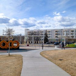
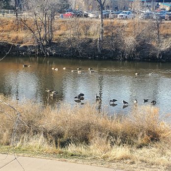
I only walked a bit less than a mile of the trail today, from the RiNo Art Park to the new Rhingo sculpture at the Denargo Market development. There's no direct access point from the Art Park to the paved trail which seems odd. The closest point is at the Flora RiNo Apartments, a new building north of the park. I don't understand this. There is a nice concrete path, once you can find it. I had a fairly peaceful walk to Rhingo and enjoyed watching the geese who were sunning themselves en masse on this unusually warm winter day. The back end of the Salvation Army's Crossroads Center borders the trail and is directly adjacent to the Denargo Market development and the little Rhingo park. Many of the Crossroads Center visitors were enjoying the nice weather and sitting around the area. I encountered an increasing amount of trash and debris on the hill between the trail and Crossroads as I approached Rhingo. Perhaps the Salvation Army could consider organizing a cleanup as this was the only spot on the trail with an excessive amount of garbage. read more
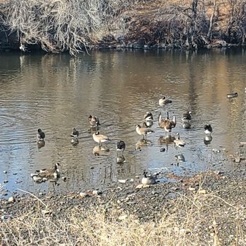

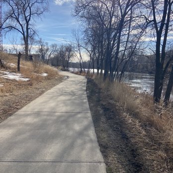
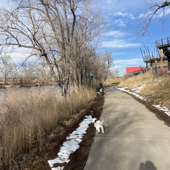

During our trip to downtown Denver, one of our many city walks involved a portion of the South Platte river trail. We walked this from the Denver skate park "D Park" off of 19th St. through Commons Park. Then, we crossed over a bridge to Colorado Front Range Trail down to 15th St. It was peaceful and scenic. There were a few ducks and other water fowl looking for food so we sat and watched them. Some parts along the river appeared to be relatively new (Construction-wise). This was a good "something to do" if you have enough time to do it on your way from point A to point B. read more
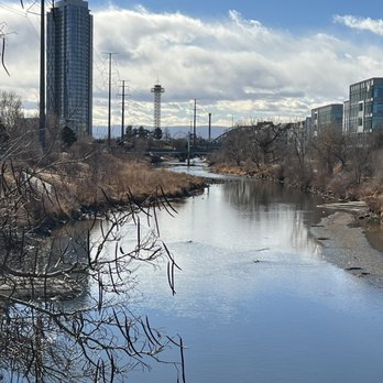
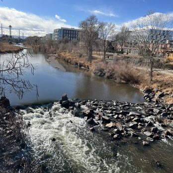


I only biked the Downtown section so the rest of the trail might be better. Some pleasant skyline views, but it felt desolate in a not so peaceful way. Currently, around 8th Ave they are doing construction work and there are two detour points. Also, I would skip the section parallel to HWY 25. Not the most pleasant watching traffic. It intersects with Cherry Creek at Confluence Park, so I hopped over to avoid the aforementioned areas. read more
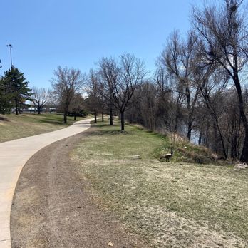
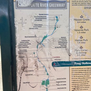
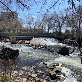


I just ran on the downtown portion of this trail about a mile each way. I loved it! What I like is how there are so many bridges where you can run back and forth across the river and it's fairly flat, with just a couple of inclines. Some parts (esp when going under bridges) are narrow so if you're running like me, you have to watch out for the Lance Armstrong wanna-be's who feel it is necessary to go at top speed around blind corners but otherwise it is easy for runners and bikers to share the trail. As others mention, there are a lot of people who seem live along the trail and you can see encampments along the river but I wasn't harassed or bothered. There is some construction going on near the confluence part so you need to be careful of that, but otherwise this is a great urban trail. read more

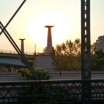
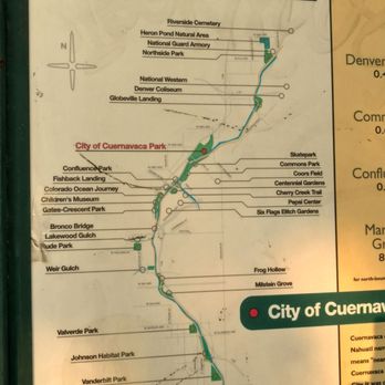


This past weekend Carrie J and I decided to hop on the Platte River Trail with our bikes and take it up to Avanti for lunch. PRO's ++ I love that the portion we rode was fairly flat. There were a couple inclines, but nothing too strenuous. ++ Paths are wide enough for at least single lane traffic each direction. ++ Tons of connecting paths to get you both on and off the trail. These paths were pretty well marked. ++ Ample spots to take breaks and rest for a few if you need to. ++ Other bikers seem to be fairly friendly. CON's -- There is a large presence of homeless people along the trail. While they didn't bother us, I can see how that might bother some people. -- On the right day, with the wind blowing the right way, you can definitely smell the wastewater treatment plants. Seems to be stronger towards the Commerce City/Henderson areas. We did 12 miles round trip and it wasn't nearly as exhausting as I thought it may be. I'm excited to ad this to our repertoire of summer "fun and fit" activities. read more
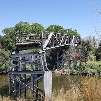
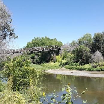

9 years ago


16 years ago


12 years ago


13 years ago

13 years ago
Its OK. I have been down better. VERY urban, which Im more for a little more privacy when biking. But its neat to do it in downtown Denver read more


15 years ago

20 years ago


11 years ago


11 years ago

20 years ago

10 years ago
More info about South Platte River Trail
Denver, CO 80238
Jefferson Park, Northwest
Directions
Hours
Outdoor Amenities