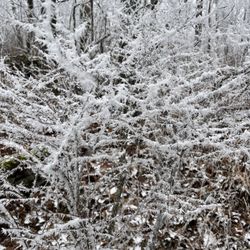
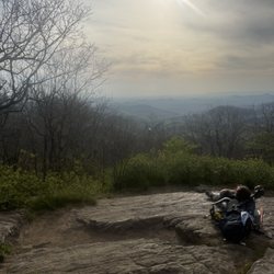
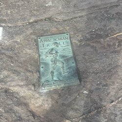
Sea Creek Falls Photos


More like Sea Creek Falls
Recommended Reviews - Sea Creek Falls
Start your review...

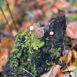
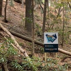
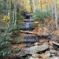
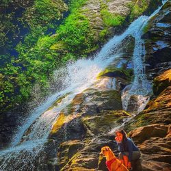
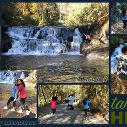
Perfect spot to sit in cool water and even sit at the waterfall. When you arrive take the trail to your left do not go over the river to the right. You will walk maybe 0.5 of a mile if that and you will find Sea Creek Falls. I do not have an exact address and the creek is pretty off grid making it hard to find. But if you just google Sea Creek Falls you will be able to find it. This place is perfect for little kids and families as well as couples wanting to enjoy the nature. I recommend water shoes for the water/falls area and bug spray for the walking portion of the trail. This is a hidden gem and well worth the stop. read more


More info about Sea Creek Falls
Cooper Creek Scenic Area
Suches, GA 30572
Directions
Hours
Outdoor Amenities


Why does Yelp recommend reviews?
Sea Creek Falls - hiking - Updated May 2026
Best of Suches
People found Sea Creek Falls by searching for…
Hiking Trails With Waterfalls in Suches, GA
Waterfalls and Swimming Holes in Suches, GA
Stroller Friendly Hikes in Suches, GA
Off Leash Dog Hikes in Suches, GA
Hiking Trails Kid Friendly in Suches, GA
Fun Things to Do at Night With Kids in Suches, GA
Urban Exploration in Suches, GA