Saddle Rock Trail Photos


You might also consider


More like Saddle Rock Trail
Recommended Reviews - Saddle Rock Trail
Start your review...


Reviews With Photos


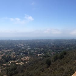
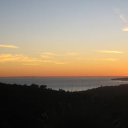
Great 3 mile trail loop- opted to go clockwise at the split for a steeper incline and a milder descent on the way back. Only saw a handful of people and everyone was respectful when passing- pulling masks up. Great views of the ocean and Santa Barbara.


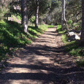
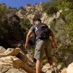
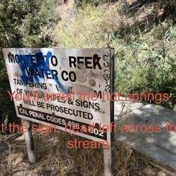
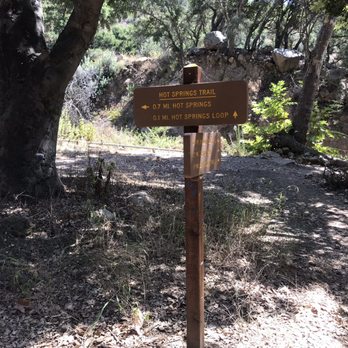
Just like the 1st reviewer, I did a little in-depth research... on how to get to Saddle Rock. Google Maps was a big help for me to zoom into areas so that I could find where the parking area would be. For parking, I left a tip on how to get there in the Tips section. We started at the trail on the right of the dirt parking area. It's a moderate hike, but I was carrying a lot of camera gear that made it more difficult for me to hike up hill. But! There's a lot of lush greenery, which provides plenty of shade for resting! The trails were maintained, so it was easy to know which path to take. Once we got to Saddle Rock, we rested and had our snacks. We looped around, rather than turned around and went back from where we came from. Be warned to those weak-ankled-ones: looping down Saddle Rock Trail from Edison Catway is very rocky. If you're not wearing the right shoes, you can possibly roll on your ankles. So our exact hiking path was from Mountain Drive up along side Hot Springs Road. Took a left on Hot Springs Trail to see the hot springs. Went back out onto Edison Catway to Saddle Rock. Continued down Saddle Rock Trail and right on McMenemy Trail. Then hit Hot Springs Road and made a left back to where we came from. Have fun guys!


7 months ago
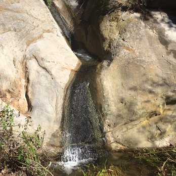
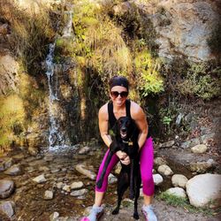
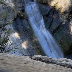
Great little hike I feel, great views always. I like to connect at the top and go to hot springs and loop around, good work out. Rocks, creek, waterfall, hot springs cant beat that. read more


This was a ~3.4 mile round trip hike that took about ~2 hours to complete. Parking is very limited in this residential area. There are a few trails in the same area. Once the trail splits to Saddle Rock, then there are little to no one else on this trail. Most people seem to be going to the hot springs in a different trail. A few steep inclines to the top if you're going clockwise but not overly difficult. Plenty of nice views as you climb to the top especially of the Pacific Ocean. The remaining trail back to the parking lot was relatively easy. Short video of the hike: https://youtu.be/ggpMvI_Ytiw read more


Amazing hike! Quick and makes you work for it. We clocked just about 3.35 miles round trip. We went up hot springs, by the ruins, and continued up to saddle rock summit before climbing down. Not for the faint of heart but take your time and watch your footing and anyone can do it. Yes there are hot springs up there but the water is HOT! It's a good 1.5 mile climb so wear the proper shoes and be prepared to work a little for it. Totally worth it though! Beautiful hike! read more

Great 3 mile trail loop- opted to go clockwise at the split for a steeper incline and a milder descent on the way back. Only saw a handful of people and everyone was respectful when passing- pulling masks up. Great views of the ocean and Santa Barbara. read more

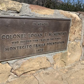


Just like the 1st reviewer, I did a little in-depth research... on how to get to Saddle Rock. Google Maps was a big help for me to zoom into areas so that I could find where the parking area would be. For parking, I left a tip on how to get there in the Tips section. We started at the trail on the right of the dirt parking area. It's a moderate hike, but I was carrying a lot of camera gear that made it more difficult for me to hike up hill. But! There's a lot of lush greenery, which provides plenty of shade for resting! The trails were maintained, so it was easy to know which path to take. Once we got to Saddle Rock, we rested and had our snacks. We looped around, rather than turned around and went back from where we came from. Be warned to those weak-ankled-ones: looping down Saddle Rock Trail from Edison Catway is very rocky. If you're not wearing the right shoes, you can possibly roll on your ankles. So our exact hiking path was from Mountain Drive up along side Hot Springs Road. Took a left on Hot Springs Trail to see the hot springs. Went back out onto Edison Catway to Saddle Rock. Continued down Saddle Rock Trail and right on McMenemy Trail. Then hit Hot Springs Road and made a left back to where we came from. Have fun guys! read more


Did some research, and I got to say, I've mistaken this for Cold Springs Trail. Even though there's a sign at the trailhead saying McMenemy and Cold Spring Trail, those two trailheads are much further up than expected. Enter this on Google Maps for the Trailhead: Riven Rock Rd & E Mountain Dr, Santa Barbara, CA 93108 At the beginning half of the trail, you'll hug the edges of many private mansions. Just follow the water and you'll be fine. Walk until you hit a junction with a sign for Hot Springs Loop and San Ysidro. Take a right and cross the creek. The walk up is difficult but worth it at the top of Saddle Rock. There's a bunch of rocks near the top, but nothing that requires rock climbing ability. Once at the top, you can continue on the right and go under the power lines and follow the dirt path, turning left. There's a nice meadow on the side route on the right. It's quite a ways after the Saddle Rock Lookout, but it's also a pretty cool spot. Eventually you can climb down and hit the Hot Springs Creek, climb down the rest of the way. It takes about 1.5-2.5 hours for a round trip. Other than needing more signs, it's a good route. This website also has a pretty good map on the route. http://www.sboutdoors.com/saddle-rock-loop-west.html read more