Freedom Park Photos


More like Freedom Park
Recommended Reviews - Freedom Park
Start your review...

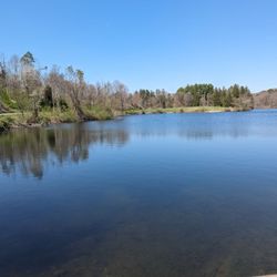
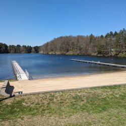
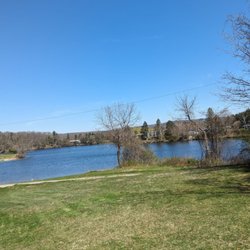
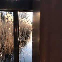
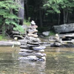
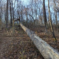
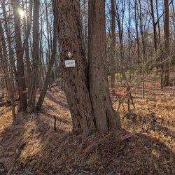
It's been many years since coming again to Freedom Park, but the number of things to offer here is endless. The pond is the main go-to, with a big surrounding of water to swim in, and also plenty of room to move around in the sand. There are boundaries in the water that shows where and not to swim. Lifeguards are on duty to help out with it. Coming here has never been an issue. There are also trails to explore, pavilions (and a very large one), a concert hall (YES!), picnic tables, grills, a playground, and a basketball court to name a few. A lot of these names mentioned are why is such a great place to stop at. The website provides more details on what goes on, events, and even swim lessons, lifeguard training, and passes. Freedom is the name indeed! http://www.lagrangeny.gov/Government/Freedom-Park-Lake.htm read more


More info about Freedom Park
212 Skidmore Rd
Lagrangeville, NY 12540
Directions
Hours
Outdoor Amenities


Freedom Park - parks - Updated June 2026
Best of Lagrangeville
People found Freedom Park by searching for…
Swimming Lakes in Lagrangeville, New York
Lakes in Lagrangeville, New York
Things to Do in Lagrangeville, New York
Playgrounds in Lagrangeville, New York
Basketball Courts in Lagrangeville, New York
Places to Swim in Lagrangeville, New York
Things to Do at Night in Lagrangeville, New York
Picnic Areas in Lagrangeville, New York
Places to Take Pictures in Lagrangeville, New York
Parks BBQ Grills in Lagrangeville, New York
Park With BBQ Pits in Lagrangeville, New York
Swimming Holes in Lagrangeville, New York
Playgrounds for Kids in Lagrangeville, New York
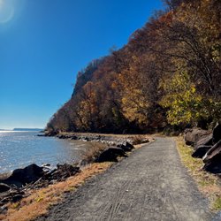
Walking Trails in Lagrangeville, New York
Lakes & Ponds in Lagrangeville, New York
Free Indoor Basketball Court in Lagrangeville, New York
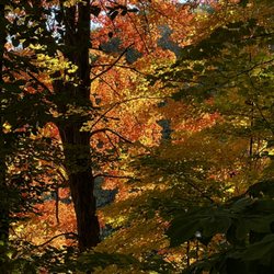
Fall Foliage in Lagrangeville, New York
Parks for Picnics in Lagrangeville, New York
Bike Trails in Lagrangeville, New York
Running Trails in Lagrangeville, New York
Photo Spots in Lagrangeville, New York
Tourist Attractions in Lagrangeville, New York
Browse Nearby
BEST of Lagrangeville, New York Restaurants near Freedom Park
BEST of Lagrangeville, New York Coffee near Freedom Park
BEST of Lagrangeville, New York Things to Do near Freedom Park
BEST of Lagrangeville, New York Breakfast near Freedom Park
BEST of Lagrangeville, New York Thrift Stores near Freedom Park