Wheeler Camp Springs Loop Photos



You might also consider


More like Wheeler Camp Springs Loop
Recommended Reviews - Wheeler Camp Springs Loop
Start your review...



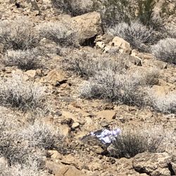
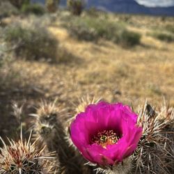
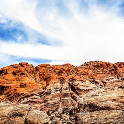
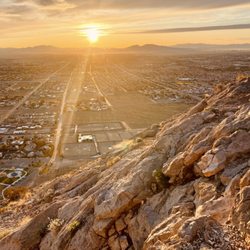
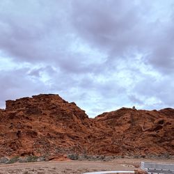
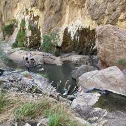
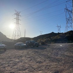
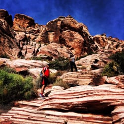
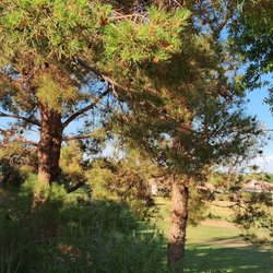
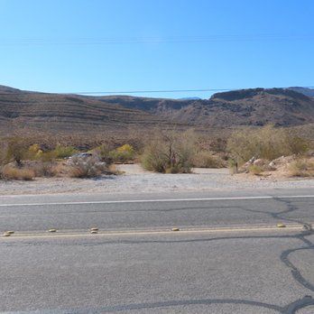
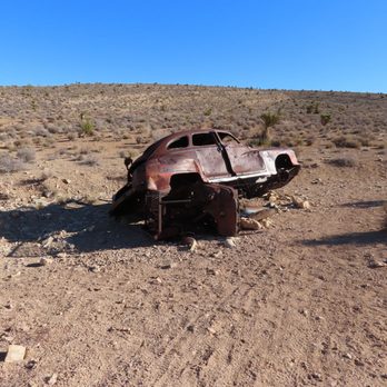
If you want to hike at Red Rock Canyon on a weekend without the hassle of finding a parking spot or making a timed reservation for getting into the main area, this is a good place to go. This is a 3 mile hike of moderate difficulty. It varies depending on which part of the loop you're hiking. It seems that most people who come here are mountain bikers, not hikers. The hike goes through typical Mojave Desert vegetation--mesquite, acacia, blackbrush, creosote bushes, Joshua trees, yuccas, and cacti of different kinds. The views of the Red Rock Escarpment are stunning! After parking, head through the gate. Make sure it's latched behind you to help prevent burros from getting onto the main highway (they do anyway). Once through the gate, there's a second gate. After going through this gate, there's a post with the Red Rock Canyon NCA logo on it. At this point, you have a decision. To the left is the way to do the trail clockwise. To the right will take you on a counter clockwise hike. We went counter clockwise. Going right, you're heading north toward what was Bonnie Springs. You hike along the base of a ridge until you almost get to the end of it. The trail goes up and over the last part. After a short distance, you come to another trail which is the Landmine Loop mountain bike trail. Turn left here, and hike south toward Blue Diamond on the mountain bike trail. On my photo with our track, you'll see a small section where we went off trail to see the old Dodge car that was junked here many years ago. It's one way people got rid of their cars or got rid of a stolen car. At 1.5 miles out, you arrive at the high point of that section of the Landmine Loop and you can see it go on in the distance. The four of us were the only ones hiking. We saw four bicyclists and one jogger. You need to be aware that there are bikes coming toward you or at you from behind. Move aside as bikers take precedence. When you get to a certain place--just over 2 miles out, you'll see the Wheeler Camp Springs parking lot in the distance and you walk parallel to it as you keep heading south. There is a fence here and you need to keep going until you get to a carsonite marker (with nothing on it). There's a fork in the trail at the marker. Take the left fork, go through the gate, and you have a couple of ups and downs to get back to the car. There was no surface water today. You can tell by all the trees and bushes that there is underground water from the springs that give these plants the water they need in the desert. Note: There is no sing to indicate where you turn into this parking area. Use my GPS track photo to get an idea where it is--approximately halfway between the old Bonnie Springs entrance and Blue Diamond. Happy hiking--or biking! read more




More info about Wheeler Camp Springs Loop
Las Vegas, NV
Directions
Hours
Outdoor Amenities