Tiddlywinks Mountain Bike Trail Photos

You might also consider

More like Tiddlywinks Mountain Bike Trail
Recommended Reviews - Tiddlywinks Mountain Bike Trail
Start your review...



9 years ago
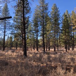
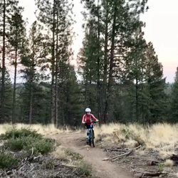
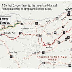
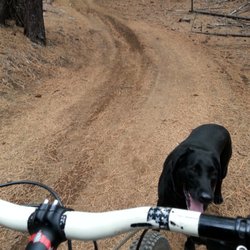
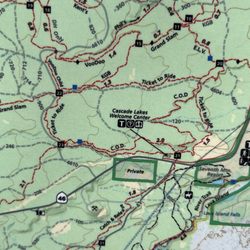
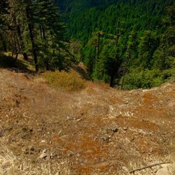
This has to be my favorite trail after the Whoops when the conditions are right. Tiddlywinks is one of the trial options from the Wanoga Trailhead. It is pretty long, so if you want to ride up and back, you should have a good portion of your day free. I highly recommend shuttling this trial. The trail starts off pretty rocky. The elevation will drop and gain consistently and you might think that your ride is going to be pretty lame. But eventually, you will find yourself in a beautifully dense conifer forest. At this point, you will have a good elevation gain to continue on. Once you hit a crossroads you will start to notice that there is not much elevation gain left. That's when things get pretty epic. Once you start your decent, you will be faced with some pretty epic berms and jumps. you will know this because it's quite visible. If you are not an intermediate rider, you may want to take caution. I have flown out of control a time or two here myself. But it's the most exciting feeling you could ever wish for. The berms and jumps last for maybe a quarter mile or so. If you had a blast you could peddle up the little trial to the side and do it again. After that Tiddlywinks mellows out and you have some smooth fast riding left. About a couple miles I would say. Then you will see another jumpy/bermy section left to ride. After that, you will ride through some more gorgeous sections of the trail until you reach the Storm King trail intersection. At this point, your journey will be close to over. To shuttle this trail it is only a couple hours long, but to travel up and back, it took me about half a day. One thing to keep in mind is that this trial is pretty high in elevation. So it can take a while for the snow to clear to ride it. The other factor is it is quick to get sandy and rutted out. So if it's too late or early in the season your SOL. WARNING: The gnarly sections are downhill only. If you don't like getting collided into, be sure to find the signs that say "Downhill Only" and keep off that section of trail. Here is a link to the etiquettes and trail information in Central Oregon. https://pinemountainsports.wordpress.com/tag/tiddlywinks/ Here is a link to the land management agency that monitors this area. https://www.fs.usda.gov/Internet/FSE_DOCUMENTS/stelprd3794824.pdf Here is a link to a map and elevation information. https://www.mtbproject.com/trail/21540/funner-tiddlywinks read more
More info about Tiddlywinks Mountain Bike Trail
Wanoga Snow
Bend, OR 97703
Directions
Hours
Outdoor Amenities