The Magic Roundabout Photos

Recommended Reviews - The Magic Roundabout
Start your review...

11 years ago
Have you ever been on vacation, driving merrily along minding your own business, when whoopsie, you have to hit the brakes as you've unknowingly entered a gateway to the Nightmare dimension? The Magic Roundabout, a godforsaken collection of mini-roundabouts (or minibouts) that connect 4 main artery routes and a relatively minor road (sorry Shrivenham Rd.), was physically built in 1972, but conceived far earlier way back in 1937 by H.P. Lovecraft while languishing on his deathbed, emotionally distraught by the realisation that Cthulhu wasn't the ultimate evil after all and he simply had to jot down his maniacal design on paper. The fact that the layout of the minibouts of the Magic Roundabout form the basic outline of an upside down pentagram is as blatant a calling card of evil as you could ever expect to see The MR is apparently a 'landmark that Swindon is famous for', which should tell you everything you need to know about Swindon in 6-words and exactly why you should consider investing an additional 10-hours to driving around it instead of through it. Throw in the fact that I traversed this mess with a stunned, wide-eyed American in the car, unused to both roundabouts (they're quite the tourist attraction in the USA and all seem to require a mandatory 3-miles of warning signs to mentally prepare a driver to tackle one) and driving on the left side of the road, which only added to the overall sense of panic and impending doom. We survived the Magic Roundabout, which is more than some can say. Legend has it that Dave Bailey from Oxford failed to sacrifice a chicken or say the appropriate prayers before entering the roundabout back in 1983 and remains there to this day, his white van driving in endless futile circles, doomed for eternity to try and find the exit for the M4. read more


17 years ago
17 years ago
18 years ago
More info about The Magic Roundabout


The Magic Roundabout - landmarks - Updated July 2026
Browse Brands
Browse Articles
People who viewed The Magic Roundabout also viewed
Hackpen White Horse
1 review
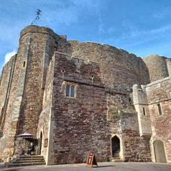
Kingswood Abbey Gatehouse
1 review
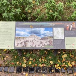
West Kennet Long Barrow
1 review
Minster Lovell Hall & Dovecote
1 review
The church of St Mary, Swinbrook
2 reviews
The Circus
7 reviews
Lockeridge Dene
1 review
St. John the Evangelist
1 review
Cirencester Amphitheatre
1 review
The Roman Baths
248 reviews