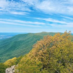
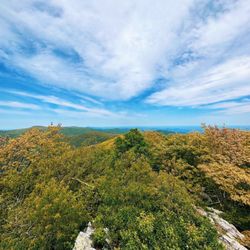
Strickler's Knob Photos



You might also consider

More like Strickler's Knob
Recommended Reviews - Strickler's Knob
Start your review...



3 years ago

10 years ago
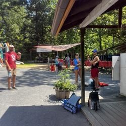
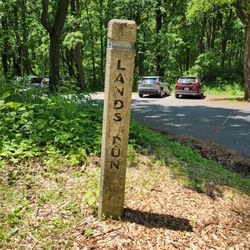
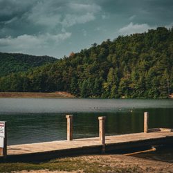
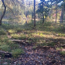
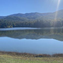
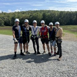
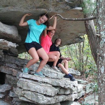
I agree with most posts I read that state this is a "mini" Old Rag. It's true to the fact that if you start at the lowest starting point, it does take all day. There is also a pretty eventful rock climb you have to work through to get to the top. (No need for harnesses..hand and foot rock climbing). I agree with the handful of posts that state, "It's easy to get lost". I even printed the map with texts on it and took it with me. We turned around a couple of times before agreeing on which path to take at an intersection. I took 4, 15 year olds with me on this (5 mile round trip hike). It ended up being 13 miles round trip. My fitbit confirmed 13 miles and over 32,000 steps! We arrived to the trail at 11:30am Sunday 9/11. We got back to the car at 6:30pm. We only sat on the rocks at the top for 30 min...we had to go before the sun set. We did have fun. The kids were troppers, let me tell you! they could have slain me out there for this trip! It was never ending AND strenuous. We were well prepared though. We each took 3 bottles of water and a couple extras. Trail mix, cheetos, peanut butter crackers, apples..we were good to go. The paths with little rocks whether going up or down would start a dirt avalanche with every step! Take it slowly and distance yourself from the person in front of you! Lots of sliding. On the boulders/big rocks, that you have to manuever over the other half of the trail, takes a lot of time and energy. Be careful. Easy to twist an ankle or fall and get seriously hurt in the middle of absolutely nowhere! And it's very solitude, which i usually like.....usually.... Follow the Markers! If you do not see a marker every 40 yards, something is wrong! The paths are marked! I will say that....but a lot of intersections and it depends on which way you came in from as to take a right or left. It was hard. The rock scramble at the top. Take your time! Look for the pink markers on the rocks.....easy to miss at times. On the way towards our final march toward the rock scramble, we did see a sign showing us an easier way back to our car. We could take this short cut 1.5 miles and come out on Crisman Hollow Rd. We did this on the way back....Once we got to the road, we still had to hike another good 1.5 if not 2 miles on the road to the car! It was exhausting! wow..... Here's what we did.... and here's an easier way to do it: We drove down rte 211 from Warrenton through Luray to take a right on Crisman Hollow Rd. (dirt road). Road goes up. See Storybook Land Trail on the right...keep going....See Massenutten Trail on the right..(That's where we parked!--UGH.....13 miles--probably 9 but we had to back track a bit). Straight down hill from the get go! landslides under your feet.... get down to the bottom at the intersection. Take a LEFT on the orange trail (do not take a right on white). On Orange..go up, go down, go across a creek...go up, up....another intersection...Go Left here! (we went right and had to back track a mile or so!) After this left, you go up again...then down adn RE-CROSS the stream...Then you'll notice you are on a long Switch back up up up another mountain that is very rocky with large boulders...keep going up!!! Forever...until the next intersection. You will see a sign. Amen! Take a right onto the orange trail. Sign will say gap trail..You'll see fire burnt trees on the left as you walk...Once it opens up and your walking on large rocks...Stop! Look to the right. You have to look on the rocks to see a pink paint mark. That's your path! (Not the clear path on the left or down hill)...The rocky boulder path on the right. Go have fun there. Follow the Pink Markers! What we should have done: Keep driving on the gravel Crismson Hollow Road PAST the Massenutten sign to the sign that says Scothorn gap Trail. (The sign was broken though)...Sign is on the left...parking on the right! There is a yellow marker on the tree! There is also a metal gate blocking the path so you can't drive up there...Park there and walk across a creek immeditely...to go up, up up a 1.5 mile hike to an intersection where you see the sign...Go Straight....You'll continue to go uphill and see the fire burnt trees on the left..yadda yadda yadda.... But that cuts like 4 or 5 miles off the enormous hike we took. I hope this helps someone. Here are some pictures of our trip. -Oh! Let me say....I'm sorry everyone...but there are a million views that are better than this one. Even the Stoney Man trail has better views...Hawksbill Trail. Spy Rock, Humpback Rock. This one did not grab me and take my breath like the others. And I've been up Old Rag Mountain....This pales in comparison with the hike and the view... read more


7 years ago