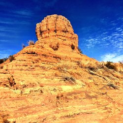
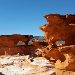
Spooky Canyon Photos


You might also consider
More like Spooky Canyon
Recommended Reviews - Spooky Canyon
Start your review...

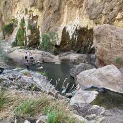
Had to hike Spooky Canyon as Halloween was upon us. Finding the trail can be a bit tricky as it is right off of the Highway. Follow driving directions from AllTrails and you will find the trail. There is a little bit of parking -enough for two cars. However, there was no one there so we had no problems. You have to duck under a fence and do a quick descent. After 20 feet or so you'll be entering the slot canyon. This hike was a perfect and a short hike for us to get our bodies moving before the long drive home. If you're short on time and want to get in a hike this one is perfect. Also, there was plenty of shade as you are hiking through the slot canyon for most of the duration. Length 0.9 mi - Out and Back Elevation gain 124 ft read more


More info about Spooky Canyon
US-93
Templ Bar Mar, AZ 86443
Directions
Hours
Outdoor Amenities