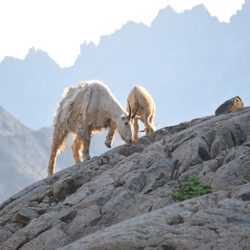
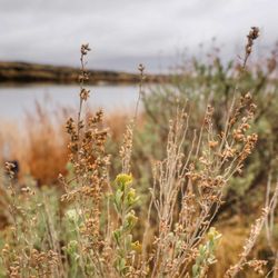
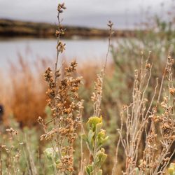
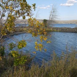
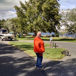
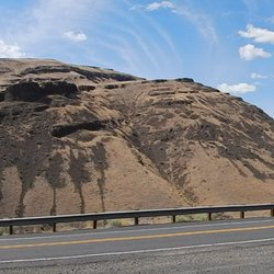
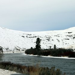
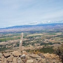
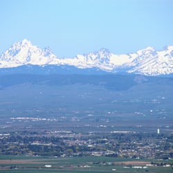
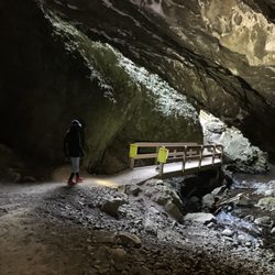
Selah Ridge Photos


More like Selah Ridge
Recommended Reviews - Selah Ridge


More info about Selah Ridge


Why does Yelp recommend reviews?
Selah Ridge - hiking - Updated July 2026
Best of Selah
People found Selah Ridge by searching for…
Things to Do in Selah, Washington
Playgrounds in Selah, Washington
Scenic View in Selah, Washington
Hiking Trails in Selah, Washington
Beautiful Views in Selah, Washington
Places to Take Pictures in Selah, Washington
View Points in Selah, Washington
Things to Do at Night in Selah, Washington
Photo Spots in Selah, Washington
Walking Trails in Selah, Washington
Waterfalls in Selah, Washington
Swimming Lakes in Selah, Washington
Star Gazing in Selah, Washington
Sunrise View in Selah, Washington
Running Trails in Selah, Washington
Dog Friendly Trails in Selah, Washington
Easy Hikes in Selah, Washington
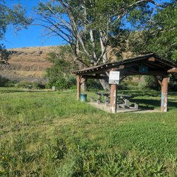
Picnic Areas in Selah, Washington
Lookout Points in Selah, Washington
Stuff to Do in Selah, Washington
Scenic Overlook in Selah, Washington
Secluded Spots in Selah, Washington
Browse Articles
Browse Nearby
BEST of Selah, Washington Restaurants near Selah Ridge
BEST of Selah, Washington Parks near Selah Ridge
BEST of Selah, Washington Coffee near Selah Ridge
BEST of Selah, Washington Things to Do near Selah Ridge
BEST of Selah, Washington Waterfalls near Selah Ridge
BEST of Selah, Washington Breakfast near Selah Ridge
BEST of Selah, Washington Campgrounds near Selah Ridge
Browse Brands
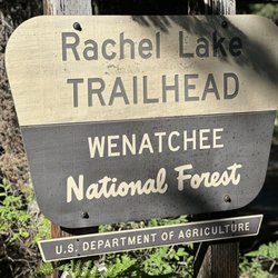
People who viewed Selah Ridge also viewed
Snow Mountain Ranch
2 reviews
Yakima Area Arboretum
10 reviews
Rocky Top Trails
2 reviews
Yakima Greenway Foundation
5 reviews
Selah Cliffs Natural Area Preserve
1 review
Ahtanum Mission Park
2 reviews
Yakima Sportsman State Park
26 reviews
Sherman Park
2 reviews
Riverside Playland Park
1 review
Roza Recreational Site
2 reviews