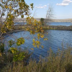
Boulder Cave Photos


More like Boulder Cave
Recommended Reviews - Boulder Cave
Start your review...

2 years ago
Without a doubt the best day trip this senior citizen has taken. We made a second trip to include 3 grandsons. The walk up is easy and well Worth it. Make reservations AND memories! read more


More info about Boulder Cave
Old River Rd
Naches, WA 98937
Directions
Hours
Outdoor Amenities


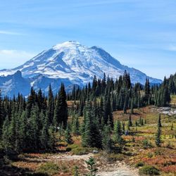


Boulder Cave - hiking - Updated June 2026
Best of Naches
People found Boulder Cave by searching for…
Things to Do in Naches, Washington
Hiking Trails in Naches, Washington
Fireworks in Naches, Washington
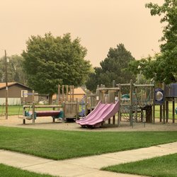
Playgrounds in Naches, Washington
Swimming Lakes in Naches, Washington
River Swimming in Naches, Washington
Baseball Fields in Naches, Washington
Easy Hikes in Naches, Washington
Walking Trails in Naches, Washington
Snow Play in Naches, Washington
Sledding Hills in Naches, Washington
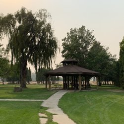
Picnic Spots in Naches, Washington
Sunrise View in Naches, Washington
View Points in Naches, Washington
Attractions in Naches, Washington
Tent Camping in Naches, Washington
Public Showers in Naches, Washington
Dog Swimming in Naches, Washington
Scenic Overlook in Naches, Washington
Secret Spots in Naches, Washington
Fishing Spots in Naches, Washington
Trending Searches in Naches, WA
Baseball Fields near Boulder Cave
Cliff Jumping near Boulder Cave
Dog Friendly Trails near Boulder Cave
Fishing Spots near Boulder Cave
Fruit Picking near Boulder Cave
Kayak Rental near Boulder Cave
Peach Picking near Boulder Cave
Pick Your Own Farms near Boulder Cave
Places To Swim near Boulder Cave
Pool Supplies near Boulder Cave
Public Shower near Boulder Cave
River Swimming near Boulder Cave
Running Trails near Boulder Cave
Strawberry Picking near Boulder Cave
Sunrise View near Boulder Cave
Swimming Holes near Boulder Cave
Browse Articles
Browse Brands
Related Searches in Naches, WA
Best Fishing Locations and Guides in Naches, Washington
Best Nature Trails for Hiking in Naches, Washington
Best Off Leash Dog Parks in Naches, Washington
Best Parks for Parties and Events in Naches, Washington
Best Places for Horseback Riding in Naches, Washington
Best Sledding Spots and Fun in Naches, Washington
Best Spots for Star Gazing in Naches, Washington
Best Water Parks for Kids in Naches, Washington
Check Out Off Road Trails in Naches, Washington
Discover Baseball Fields Around Naches, Washington
Discover Fun Toddler Parks in Naches, Washington for Your Little One
Discover Popular Bike Trails in Naches, Washington
Discover Popular Photo Spots in Naches, Washington
Discover Top Nature Parks to Visit in Naches, Washington
Discover the Best Running Track in Naches, Washington
Effective Stairs Workout Spots in Naches, Washington
Enjoy Camping Adventures Around Naches, Washington
Enjoy Scenic Night View Experiences in Naches, Washington
Enjoy Tent Camping Spots Around Naches, Washington
Enjoy the Best Night View Spots in Naches, Washington
Enjoy the Best Picnic Spots and Ideas in Naches, Washington
Enjoy the Best Walking Trails in Naches, Washington
Exciting Cliff Jumping Spots in Naches, Washington
Explore Beautiful Parks and Green Spaces in Naches, Washington
Explore Easy Hikes Perfect for All in Naches, Washington
Explore Landmarks & Historical Buildings in Naches, Washington
Explore Popular Campgrounds Near Naches, Washington
Explore Popular Picnic Areas Around Naches, Washington
Explore Popular RV Parks Around Naches, Washington
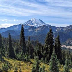
Explore Popular Scenic Overlook Points in Naches, Washington
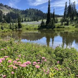
Explore Scenic Lakes to Visit in Naches, Washington
Explore Secret Spots Worth Visiting in Naches, Washington
Explore Summer Camps for All Ages in Naches, Washington
Explore Top Dog Parks in Naches, Washington Near You
Explore Top Gyms in Naches, Washington Now
Explore the Best Swimming Holes Around Naches, Washington
Explore the Best Trail Options in Naches, Washington
Family Friendly Hiking With Kids in Naches, Washington
Find Cozy Camping Cabins in Naches, Washington
Find Fun Kids Activities Outdoor in Naches, Washington
Find Parks and Recreation Activities in Naches, Washington
Find Top Dog Swimming Spots in Naches, Washington
Find Top-Rated Waterfalls in Naches, Washington Now
Find a Public Running Track in Naches, Washington
Find the Best Playgrounds to Visit in Naches, Washington
Find the Best Scenic View Locations in Naches, Washington
Find the Best Swimming Pools in Naches, Washington Today
Hiking Trails With Waterfalls in Naches, Washington
Parks With Basketball Courts for Games in Naches, Washington
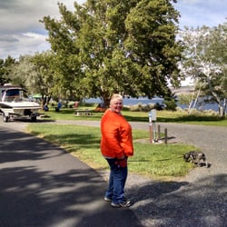
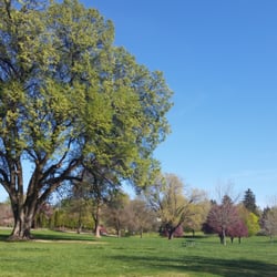
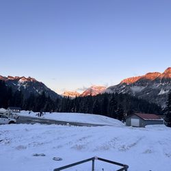
People who viewed Boulder Cave also viewed
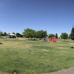
Snow Mountain Ranch
2 reviews
Rocky Top Trails
2 reviews
Elk Ridge Campground
27 reviews
Shoe Lake Hike Via Pacific Crest Trail
1 review
West Ellensburg Park
1 review
Olmstead Place State Park
3 reviews
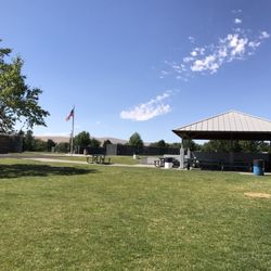
Roza Recreational Site
2 reviews
Sourdough Ridge Trail
3 reviews
Lake Easton State Park
51 reviews
The Last Resort
58 reviews