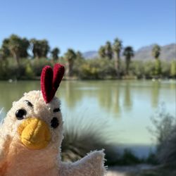
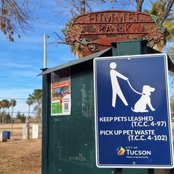
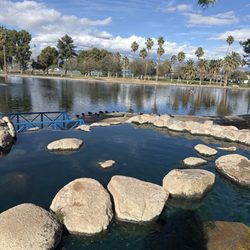
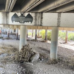
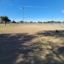
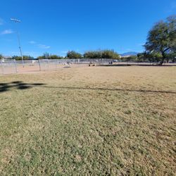
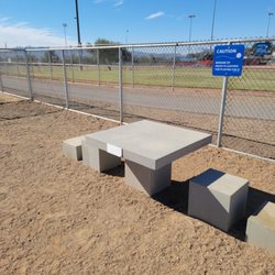
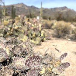
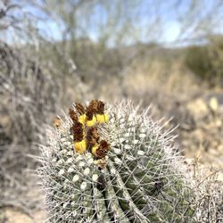
Santa Cruz River Walk Path Photos


You might also consider


More like Santa Cruz River Walk Path
Recommended Reviews - Santa Cruz River Walk Path
Start your review...


Reviews With Photos


The kids and I enjoy taking our three dogs for a walk, we either walk in the river bed or in the path ( between drexel and ajo) if we are lucky we get to see charro horses dance practicing. It a beautiful thing to see, a horse dance


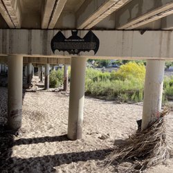
My absolute favorite time to visit the walk path is during the monsoon season. At that time, the normally dry Santa Cruz River, flowing north from the south, will have enough water that it will rush with a heavy flow. It's too bad that the walk runs so close to Valencia Road, because -- and it's true even when you are standing within about 10 yards or so of the bank -- it's hard to hear the rushing water. Still, it is quite the beautiful sight when the water is flowing well. Great for a walk. For some quiet time. Or a quick meditation. read more


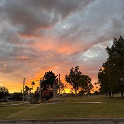
This was one of my FAVORITE spots when I lived here in Tucson....and it was my FIRST step when I visited. The BEST time to visit is during monsoon season (the wash is FILLED with water often)....however anytime is nice. This is a great spot to walk, bike ride, ride your horse....or just sit and enjoy. I bought Subway for lunch, and enjoyed some quiet time under one of the covered areas. The beauty f this walking path is worth a visit. If you can make it at sunset....you get an extra special beautiful bonus. read more


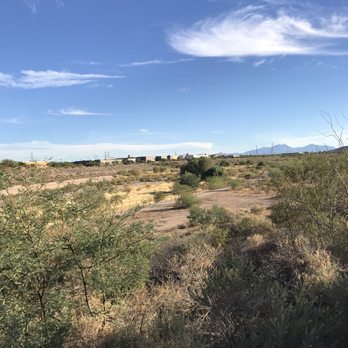

7 years ago


12 years ago
The kids and I enjoy taking our three dogs for a walk, we either walk in the river bed or in the path ( between drexel and ajo) if we are lucky we get to see charro horses dance practicing. It a beautiful thing to see, a horse dance read more


11 years ago
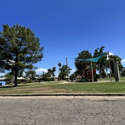
Great place to go spend a good time with your family its friendly for bikers friendly for runners for the pet owner super open space very well kept as of now they just made some innovations on the path so its a lot smoother for bikers it goes all the way through mission into to what believe is 29th? We typically only go to ajo Rd and turn back around. ALL of the trees there are so well kept up people actually clean after their pets there's a Ramada on Irvington and bike parking at almost any intersection read more


14 years ago


13 years ago
More info about Santa Cruz River Walk Path
1345 W Irvington Rd
Tucson, AZ 85746
Directions
Hours
Outdoor Amenities