Pacific Valley Bluff Trail Photos


You might also consider
More like Pacific Valley Bluff Trail
Recommended Reviews - Pacific Valley Bluff Trail
Start your review...

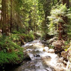
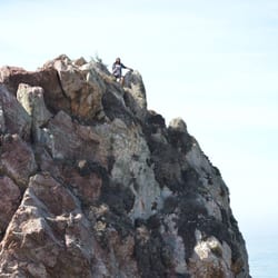
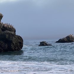
A short level trail. You enter through a gate into a field, and does not look like much until you walk towards the ocean. The bluffs drop about 75 ft. and give you sweeping views of the ocean. Such an easy trek right off Hwy 1 for nature's charm. read more


More info about Pacific Valley Bluff Trail
Pacific Valley Bluff Trail
Los Padres National Forest
Big Sur, CA 93920
Directions
Hours
Outdoor Amenities
You might also consider


Pacific Valley Bluff Trail - hiking - Updated July 2026
Best of Big Sur
People found Pacific Valley Bluff Trail by searching for…
Things to Do in Big Sur, California
Hiking Trails in Big Sur, California
Stroller Friendly Hikes in Big Sur, California
Off Road Trails in Big Sur, California
Easy Hikes in Big Sur, California
Waterfall in Big Sur, California
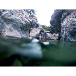
Natural Hot Springs in Big Sur, California
Walking Groups in Big Sur, California
Browse Nearby
BEST of Big Sur, California Restaurants near Pacific Valley Bluff Trail
BEST of Big Sur, California Coffee near Pacific Valley Bluff Trail
BEST of Big Sur, California Things to Do near Pacific Valley Bluff Trail
BEST of Big Sur, California Breakfast near Pacific Valley Bluff Trail
BEST of Big Sur, California Campgrounds near Pacific Valley Bluff Trail