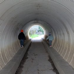
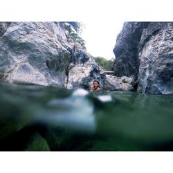
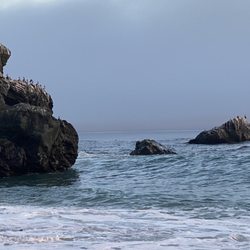
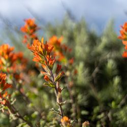
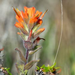
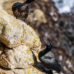
Ventana Wilderness Photos


You might also consider
More like Ventana Wilderness
Recommended Reviews - Ventana Wilderness
Start your review...

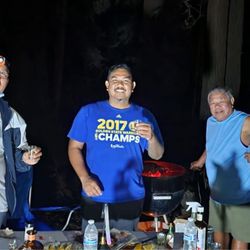
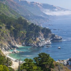
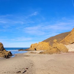
This is a great wilderness in the Big Sur area. This wilderness is huge, and good for backpacking. I went overnight backpacking in November. The reason I choose November is that it's not foggy. I started at Bottchers Gap and camped at Pat Spring. 7-mile one way. It is a lot of elevation (both gain and loss! so both ways are hard), but it is an incredible views along the way, and especially at Pat Spring. You can see sunset at the ocean, tons of stars, shooting stars, milky way. So quiet. So peaceful. So pretty. read more


More info about Ventana Wilderness
You might also consider


Ventana Wilderness - parks - Updated July 2026
Best of Big Sur
People found Ventana Wilderness by searching for…
Campgrounds in Big Sur, California
Snow Park in Big Sur, California
Fireworks in Big Sur, California
Fishing Spots in Big Sur, California
Watch Sunset in Big Sur, California
Things to Do in Big Sur, California
Picnic Spots in Big Sur, California
Beach Bonfire in Big Sur, California
Camping Sites in Big Sur, California
Redwood Trees in Big Sur, California
River Swimming in Big Sur, California
Basketball Courts in Big Sur, California
Hiking Trails in Big Sur, California
Stroller Friendly Hikes in Big Sur, California
Off Road Trails in Big Sur, California
Things to Do on a Rainy Day in Big Sur, California
Sunset View in Big Sur, California
4th of July Fireworks in Big Sur, California
Playgrounds in Big Sur, California
Dog Friendly Trails in Big Sur, California
Tide Pools in Big Sur, California
Browse Nearby
BEST of Big Sur, California Playgrounds near Ventana Wilderness
BEST of Big Sur, California Coffee near Ventana Wilderness
BEST of Big Sur, California Restaurants near Ventana Wilderness
BEST of Big Sur, California Things to Do near Ventana Wilderness
BEST of Big Sur, California Star Gazing near Ventana Wilderness
BEST of Big Sur, California Picnic Areas near Ventana Wilderness
BEST of Big Sur, California Breakfast near Ventana Wilderness
BEST of Big Sur, California Campgrounds near Ventana Wilderness
BEST of Big Sur, California Sightseeing near Ventana Wilderness
Browse Brands
Browse Articles
People who viewed Ventana Wilderness also viewed
Calla Lily Valley
8 reviews
China Cove
10 reviews
Mission Trail Park
28 reviews
Buzzard's Roost Trail
2 reviews
Point Sur State Historic Park
34 reviews
California Sea Otter Game Refuge
8 reviews
Palo Corona Regional Park
10 reviews
Route 1 - Big Sur Coast Highway
66 reviews
Prewitt Ridge
18 reviews
Ewoldsen Trail
29 reviews