Mount Tecumseh Photos

More like Mount Tecumseh
Recommended Reviews - Mount Tecumseh
Start your review...



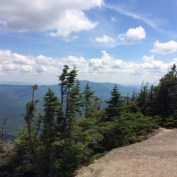
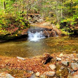
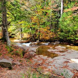
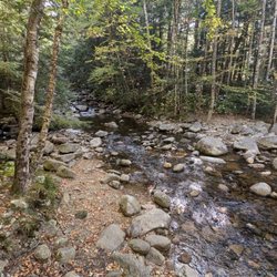
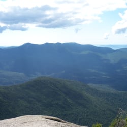
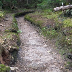
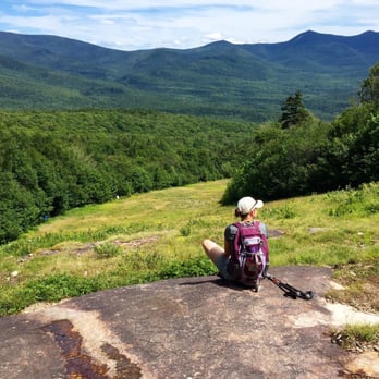
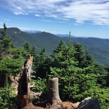
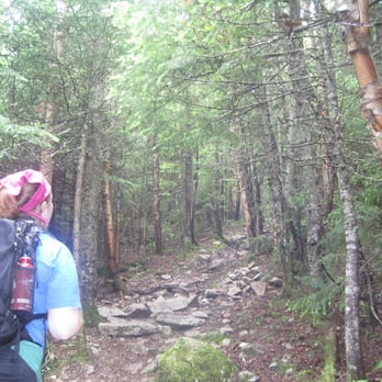
What better place to write my 500th review about (whoohoo!) than somewhere I love so much... the White Mountains in New Hampshire. My quest to hike the forty-eight 4000-footers in NH brought me to Mount Tecumseh this past weekend (#7 out of 48 for me). Having had knee surgery in January, I was excited to put my hard work and training to the test in the mountains. Not wanting to overdo it... Mount Tecumseh, the shortest official 4000 footer on the Appalachian Mountain Club's list, fell into my sights. This is a great mountain for easing back into alpine hiking... or to ease into it for you newcomers! A short hike distance-wise when it comes to the mountains (5.2 miles round trip), the Mount Tecumseh/Sosman Trail that delivers you to the summit is devoid of anything considered to be very steep and drives a consistent and moderate grade up to the top. The trail is well-maintained and offers a few sights along the way. Three stream crossings early on put you at the bottom of what used to be an old logging road (hence the straight-shot upwards with few switchbacks to the top). At the halfway mark up the mountain, you get your first glimpse of the beauty that is Waterville Valley. There is a sign directing you to "View" and about 30 feet off the trail you reach one of the ski trails from the Waterville Valley Resort that resides on this mountain (this view is pictured in the photo of me sitting on a rock with my purple backpack). Soak in this view because it is the last you will see before reaching the summit. The trek up after this point is a bit monotonous. Just lots of climbing in a relatively straight line. As you get closer to the top there are less random rocky outcroppings and more established "stairs" to scramble up. This trail meets up with the Sosman and its not long before you reach the summit. There is a cairn at the top to mark the peak with a decent view of the Osceola's, the Tripyramids, and Washington way off in the distance. Parking for the trailhead can be found in the Waterville Valley Resort, Lot 1. The actual trailhead can be found just across the street from the lot. It is very difficult to see from the road, just park in lot 1 and look across. You will see the very small sign for the trailhead there. read more


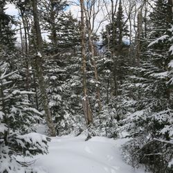
You've heard "The Song that Never Ends", well this is the HIKE that never ends. The trail up Tecumseh winds around and up up UP (up the backside of the ski resort). Rocky footing and few glimpses of the landscape also make this trek particularly less gratifying considering the 5.1 mile roundtrip. The trail base is at the base of the ski resort. The head is difficult to find along the side of the road, you have to go off to the side and there is a weeeee little sign pointing into the woods. It is an easy start over relatively level ground, switchbacks and loops around, crossing water and then spitting you out at the base of a rocky scramble up the route to the top (this was exhausting and I was glad to have boots with ankle support). The ridge just kept climbing upwards (on and on) until you meet a fork which loops up to the 4,003 foot summit and back around. The peak offers a thin view from a narrow slab.....and then you turn around. A necessary trail to tackle in order to bag all 48 400-footers....but it's a long, drawn out rummage that should be approached in the sunshine (otherwise you'll have no view at all). read more

More info about Mount Tecumseh
White Mountain National Forest
Waterville Valley, NH 03285
Directions
Hours
Outdoor Amenities