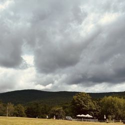
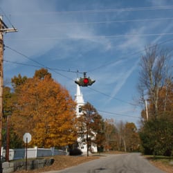
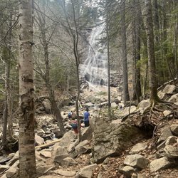
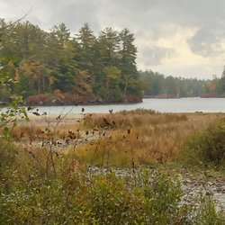
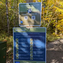
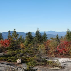
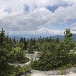
King Ravine Photos


You might also consider
More like King Ravine
Recommended Reviews - King Ravine
Start your review...

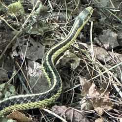
This hike is so epic. One of my all time favorites. I was intrigued by this adventure, with the promise of perpetual ice in summer. This is a difficult excision, and the trail may be wet, and even in rock climbing shoes is slippery. There were also orange slugs everywhere, which with foot hold slipping got squished by hands. The first several miles are flat, and then you start bouldering into and then up the Ravine. We did find some show in June, and the caves were cold and refreshing. The climb up to the top of the ravine is challenging, but you are rewarded with epic photo ops and views. The only unpleasantness was the mosquitos and black flies. Kids always bring your bug repellent. You can also extend the hike to hit the peak of Mount Adams. It is prone to storms and lightening. You can seek shelter in the hut near the peak if trapped in a storm. You do not have to go back down the ravine, you can return vis the Mount Adams trail, it is a loop. read more


More info about King Ravine


King Ravine - hiking - Updated July 2026
Best of Campton
People found King Ravine by searching for…
Things to Do in Campton, New Hampshire
Rock Climbing in Campton, New Hampshire
Hiking Trails in Campton, New Hampshire
Caves in Campton, New Hampshire
Running Trails in Campton, New Hampshire
Scenic View in Campton, New Hampshire
Walking Trails in Campton, New Hampshire
Hiking Trails Kid Friendly in Campton, New Hampshire
Beautiful Views in Campton, New Hampshire
Photo Spots in Campton, New Hampshire
Waterfalls in Campton, New Hampshire
Kids in Campton, New Hampshire
Things to Do on a Rainy Day in Campton, New Hampshire
Trails in Campton, New Hampshire
Waterfalls and Swimming Holes in Campton, New Hampshire
Dog Friendly Things to Do in Campton, New Hampshire
Lookout Points in Campton, New Hampshire
Off Road Trails in Campton, New Hampshire
View Points in Campton, New Hampshire
Lakes & Ponds in Campton, New Hampshire
Off Leash Dog Hikes in Campton, New Hampshire
To Do in Campton, New Hampshire