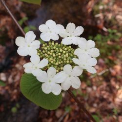
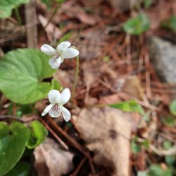
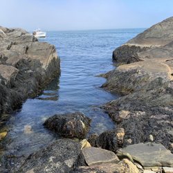
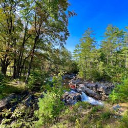
Mount Phillip Trail Photos


You might also consider
More like Mount Phillip Trail
Recommended Reviews - Mount Phillip Trail
Start your review...

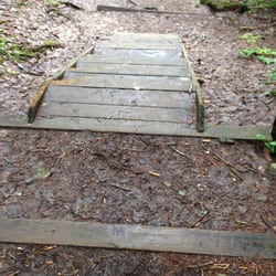
Wonderful hiking trail to the top of a mountain in Rome. Good amount of parking with a large sign with plenty of info on the trail, mountain, and area. The trails are well marked in most spots (went off in one spot but quickly realized our mistake). While the view isn't panoramic it is quite a nice view of Belgrade lakes. The mountain will gain you about 350 feet in elevation and will take you about 45 minutes to do the loop. There were some spots on the trail where you needed to maneuver through uneven rocks and spots where the climb got a bit tough, but nothing too hard. I brought a 9 year old and he had a blast. I could see much younger kids pulling this off with no issues. read more


More info about Mount Phillip Trail
Rome, ME 04963
Directions
Hours
Outdoor Amenities


Mount Phillip Trail - hiking - Updated June 2026
Best of Rome
People found Mount Phillip Trail by searching for…
Browse Nearby
BEST of Rome, Maine Things to Do near Mount Phillip Trail
BEST of Rome, Maine Restaurants near Mount Phillip Trail
BEST of Rome, Maine Parks near Mount Phillip Trail
BEST of Rome, Maine Farmers Market near Mount Phillip Trail
BEST of Rome, Maine Playgrounds near Mount Phillip Trail
BEST of Rome, Maine Ski Resorts near Mount Phillip Trail
BEST of Rome, Maine Campgrounds near Mount Phillip Trail