Mount Akawie Photos


You might also consider
More like Mount Akawie
Recommended Reviews - Mount Akawie
Start your review...

6 years ago
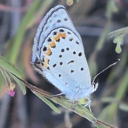
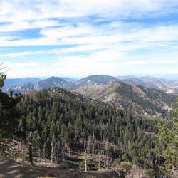
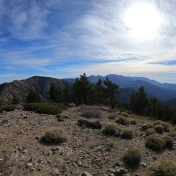
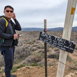
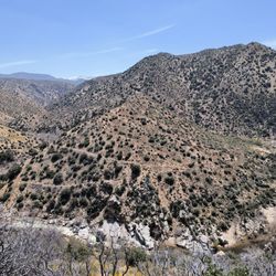
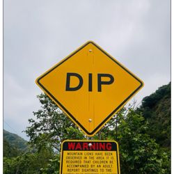
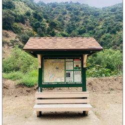
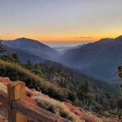
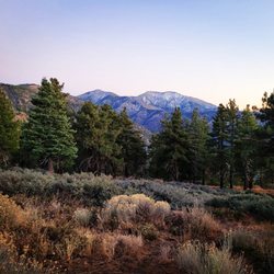
This is a short 1.5 mile round trip to Mount Akawie. Display your adventure pass, there are no restrooms in this area. The hike starts on what seems to be a service road. Eventually, the road will go right, but you want to continue straight on a thin trail. To be honest, I wasn't paying attention to where I was going. So I back track a few times as I missed the trail. But this is nice with trees all around you. Plus it's such a short hike, wandering a bit wasn't so bad. When you make it to the peak, it's a flat summit with trees all around, so if you're looking for spectacular views, this is not it. Nevertheless, it's a nice little nature hike that this one is good for kids. It also has a good amount of shade from the sun. Because this is a short hike, I would suggest hiking this plus another trail nearby like Winston Peak or Kratka Ridge. As always pack accordingly to the weather and have fun. read more


More info about Mount Akawie
Angeles Crest Hwy
Pearblossom, CA 93553
Directions
Hours
Outdoor Amenities
You might also consider


Mount Akawie - hiking - Updated August 2026
Best of Pearblossom
Browse Nearby
BEST of Pearblossom, California Restaurants near Mount Akawie
BEST of Pearblossom, California Coffee near Mount Akawie
BEST of Pearblossom, California Breakfast near Mount Akawie
BEST of Pearblossom, California Horseback Riding near Mount Akawie
BEST of Pearblossom, California Campgrounds near Mount Akawie


