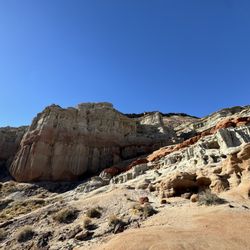
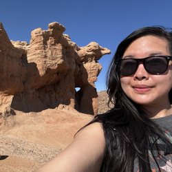
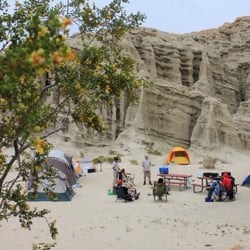
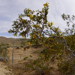
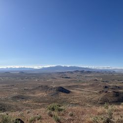
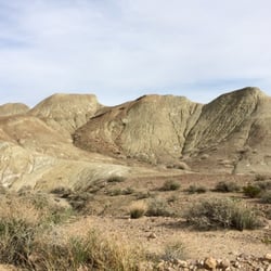
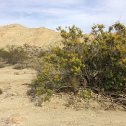
Jawbone Canyon falls into that somewhat confusing gray area between Natural Area and Off Road Vehicle Recreation Area. Located between Middle and Nowhere in the high desert of California, Jawbone has some very pretty landscapes, local flora and fauna, and a remote feeling to it; however, its nature is betrayed by several signs of human impact.
I recently drove through the canyon with my kids in the evening, "road cruising" for reptiles on the highway. My kids are rather Into crawly things, and like many areas of the Mohave, Jawbone comes alive at night, when the daytime heat wanes and offers some relief to the crepuscular and nocturnal creatures that call this place home.
As the sun sets behind the hills, jackrabbits, foxes, coyotes, snakes, tarantulas, lizards, and those cute little banded geckos can be seen scurrying across the road. This is desert tortoise country, too, and while it is rare to find them, it's always a possibility.
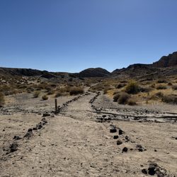
Amidst all this nature, Jawbone also offers opportunities for off road vehicles-- dirt bikes, quads, and just four wheelin. As we navigated the long one way trail-- some paved, some dirt/sand--I switched on 4WD about half-way through, just to avoid getting stuck with my kids in the middle of the desert at night. Lots of guys were out with LED light bars blazing into the dark, going g too fast for my taste, but to each his own.
There were also a few guys off the highway shooting shotguns and some semi-auto stuff. Didn't seem like a great idea at night, but as long as I wasn't down range, I didn't care.
There is also a huge water pipeline that cuts across the canyon in a few places... again, not a big deal, but a reminder that this isn't untouched by human hands.
I wouldn't take this route in a Ford Edge or a Chevy Equinox, but I've navigated rougher trails. I made it through with four wheel drive and street tires, but your results may vary. If you don't turn around, the road takes you through to an area near Red Rock.
If you're looking for natural beauty, head up the highway another ten minutes to Red Rock State Park. If you wanna kick up some sand, burn through some shells, or just take a casual and free jaunt off the highway, this might be a good spot for you. read more