When I hike up in Mount Charleston (Spring Mountains National Recreation Area), whether it is in Kyle Canyon (first turnoff) or Lee Canyon (second turnoff) I prefer to take the longer and less traveled scenic route. This is US 95 to Lee Canyon Road. If I am doing a Kyle Canyon Hike, up in the Spring Mountains, I will turn left on Deer Creek Road headed south to Lee Canyon Road. The windy and scenic Deer Creek Road passes a few hiking areas that I have been determined to explore. Deer Creek Trailhead (or Deer Creek Picnic Area) had been one of them.
Deer Creek Trailhead is off Deer Creek Road (State Route 158) closer to Lee Canyon than Kyle Canyon. The parking lot is on the east side of the road between the Desert Overlook and North Loop Trailhead. It is signed Deer Creek Picnic Area.
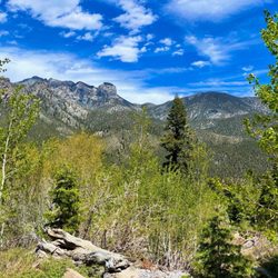
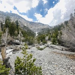
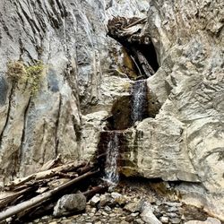
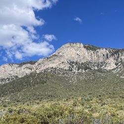
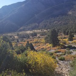
Deer Creek Trailhead is in the shadow of Mummy Mountain, the second highest peak in the Spring Mountains National Recreation Area. As soon as you cross Deer Creek Road and make the turn where the paved trail heads west towards the picnic area the Mummy's Toe is in view. Without Mummy Mountain, Deer Creek would be nonexistent. Deer Creek originates from the steep slopes of Mummy Mountain. High above Las Vegas at an elevation around 8,300 feet, Deer Creek Trailhead is approximately 20 degrees cooler. High up in this elevation, Deer Creek Trailhead and the shirt hiking trail is in a Pine-fir forest. This is a unique part of the Mojave Desert where cacti are rare. Instead ponderosa, pine trees, alpine, white fir, and wild flowers thrive. In this Pine-fir forest, there is an easy and scenic hike that parallels a wooded creek.
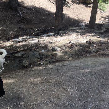
The trail starts off in a parking area on the east side of Deer Creek Road. The trail crosses the road where it parallels it for a few minutes. Then the trail turns as it makes its way towards a vista of Mummy's Toe. On the first half it is a paved walking path that parallels Deer Creek which is to the left. Although this is a popular location to find birds. It is also a popular location with families. The smell of barbecuing overtakes the smell of pine. The paved road continues through the picnic area that is popular. After the shaded creekside picnic area, the trail crosses Deer Creek where it is now dry. Deer Creek Trail intersects with Cougar Ridge Road, an unpaved 4x4 Road feeding in from Deer Creek Road. The trail turns toward the right where it shares the right of way with Cougar Ridge Road after changing from a paved topography to underpaved. The hike smoothly heads uphill with the intermittent Creek on the left. With the picnic tables below the intersection, the hike turns more solitary. On both sides pine tree covered hillsides interspersed with white fir birder the sinuous trail. The sound track are light breezes, birds, crickets, and the Running Creek. After a curve in the trail beside a white fir grove, the creek returns. In contrast to the scenic and populated picnic area below, here the creek is a solitary relax in nature spot. I would degress from the trail to walk along and in some spots on the large rocks in the Spring. I would relax with nature in the shade of pine trees, sitting on a large rock taking in the trickling creek. This is the perfect location to enjoy a picnic or read a book in the solitude of a trickling creek. When I rejoined the trail deep in the woods, it made a light curve. A few feet ahead of the curve nearer Mummy Mountain, I saw an unexpected site. There ahead of me, there stood a "Private Property" sign. Beyond the bridge that crosses the creek once more were houses. I took this as a "Hikers are not welcome" and No Tress passing Warning! This was the conclusion of the hike. The hike concluded at a vista overlooking a Spring habitat in a wooded hill reaching towards Mummy Mountain. In a way it is a good thing that "Private Property" signs stymied a deeper walk in the woods. I say this because, it looked like a sensitive habitat that is home to rare species that include the Peter's chipmunk. But, if the owners of the homes sold to the Forest Service and it became the publics' property, the trail would continue up steep topography to Mummy's Springs.
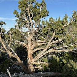
Hiking downhill towards Deer Creek Road, continuing on Cougar Ridge extends the hike. After the intersection with the paved road passing through the picnic area, it ascends a hill that will bring it to an elevation overlooking the picnic area below and the Mahagony Campground across Deer Creek Road. Here there are interesting pine trees along the trail. Cougar Ridge Road concludes at Deer Creek Road. From here, the hike heads back toward the intersection of the paved trail in the picnic area. The hike is a moving picture perfect post card of Mummy Mountain.
After turning right at the paved trail, the hike heads towards its final conclusion in the parking lot across from Deer Creek Road. In summary it is a shorter hike totalling approximately 2 miles. read more