Cowles Mountain Photos


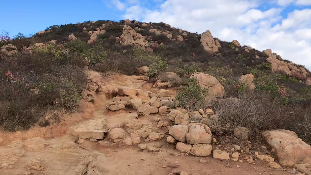




You might also consider


More like Cowles Mountain
Recommended Reviews - Cowles Mountain
Start your review...


Reviews With Photos


A classic hike that I like to walk every once in awhile! It has the right amount of incline, flat ground, and beautiful views for all ages. Parking is plentiful and can be found in their lot or on the street. It is a very popular hike to do in San Diego, so I would come at an off hour when the weather is not too warm for less crowds. It's nice once you reach the top and see the sign! Definitely makes me feel motivated to go all the way up.


Cowles Mountain offers a startling amount of scenery for something located within a major city. Pro/con of the main trail: you won't ever be the subject of a gruesome "hiker goes missing" saga as it's well-populated. But the non-isolation combined with the zig-zag means you may learn more about your fellow hikers than you might expect. On my recent visit three young gents described their dating conquests, with one in particular noting a successful visit that nonetheless remained within the guidelines of his religion. Another fellow provided an overview of Gaza to a geopolitical novice. I also got in trouble for attempting to talk to a dog. The trail is rated "difficult". It wasn't bad overall except for the few parts where there wasn't really a trail, just rocks. Years ago I made it to the summit. This time I had to settle for a "Rocky ending" where I didn't win but I endured. I got a mile up. In my defense, there was still a chance of rain, plus I was hoping for food, waterfront sunset and then more food. As a consolation prize for not getting to the summit, I briefly checked out the Barker Way trail. This diversion offers excellent mountain views but I didn't go the whole way as I wanted to keep an eye on the ocean. Geography note: you can get here by public transit but it won't be quick. The 115 bus goes a few blocks away.


I'm going to update my review since it's been about 12 years. This is my absolute favorite hike in San Diego. It's intense so come early in the morning or later in the evening, unless it's cool out. It's about 30 minutes up and 30 minutes back down if you hike without stopping. About 10 minutes in, the intensity ramps up and then about 15 minutes in is about the most difficult. The last 7-10 minutes is all switchbacks, which are manageable until you get to the final switchback that takes you to the top. That last little bit is intense but you can see the top so it's maybe easier to keep going. The views from the top are amazing. You can see all of San Diego from there. I mean, down town, Point Loma, UTC, east county, even the ocean on a clear day. The way down is obviously much easier. Watch your footing though because it's super easy to turn an ankle on the uneven footing. If you "bound" down then you'll feel it in your knees the next day. Bonus points if you get to see sunrises and sunsets from here because they are amazing!!!

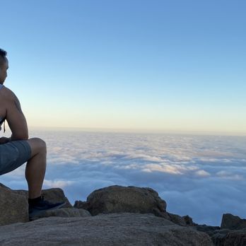
Top notch trail! If you start at the Big Rock park the inclines are killer. A little bit ok scrambling but the trail is very well maintained and very busy. Bring more water than you Think you'll need and wear shoes with good grip and support. There are bathrooms before you start up, in the park, and parking may or may not be limited. The views are to die for but the trail is steep!! Highly recommended !


Great spot for a fun hike. It is all uphill (except on the way back obviously). It is hard packed dirt, rocks, and boulders. You are in nature. There is a very clear path. But it can be a workout. And the harder (faster) you go the better it is. But you can turn around and go back down whenever you want. Lots of people from different backgrounds enjoy this hike, so be cool and friendly. Some people do bring their dogs on leash. Some kids and older folks do the hike too. Go for a slow walk, a quick hike, or a strong run. Just have good shoes, the right clothes, some water, maybe a snack, and positive vibes. Enjoy!


Tranquil trail at sunset. Easy for new hikers and mostly pleasant during the cool of the day. I do not recommend hiking at night unless you're in a group and have a headlamp. There are rattles on this trail so be aware if you bring a dog. The trail is clean, well kept, and popular amongst San Diegans. I don't hike much and I thought it was easy.


Still one of my favorite hikes in San Diego. It's a really versatile hike that's done by the young, the aged, the extremely fit, the fit, the getting-fit, pets, and kids. If you're on the fitter side, you might add a weighted pack, or work on your speed. If you're getting fit, it's still doable, just take your time. Plenty of parking. I recommend getting here early, 6am-6:30am, to beat the sun. I recommend at least 16.9 oz. of water, but carrying a 32 oz. thermos with ice cold water would be great. Staying at a steady pace, and not spending time at the summit, you can make it up and down in 75-80 minutes. Wear good shoes, with solid traction, as it can be slippery when coming down. I believe the roundtrip is a little under 3 miles. Most of the people are friendly, and will often exchange pleasantries when passing by. It's one of my favorite things about this mountain. Have fun, get your sweat on, and most importantly, stay safe. If you are bringing a pooch, make sure to bring them some water as well. Stay Hydrated!


Cowles Mountain has always been one of my favorite hikes in San Diego, beautiful views, a solid workout, and usually a safe, enjoyable trail. However, I'm sharing my recent experience as a warning for others to stay alert, especially around dogs. On July 22, 2025, around 8:AM, I was bitten by a dog while hiking. The incident was completely unprovoked and happened without any warning, the dog lunged and bit me near my left ankle. I've attached a photo to this review showing of what the dog's owner looks like. To make matters worse, the owner gave me a fake name and phone number. It was a painful and upsetting experience, and I want to make others aware that not all dog owners are responsible or honest. Please use caution around dogs on the trail, even in popular spots like Cowles Mountain. Despite this incident, it's still a great place to hike. Just be mindful, stay alert, and hike safely.
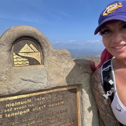

At 1,592 ft, Cowles Mountain is the highest peak in San Diego. There are two main routes to the summit: 1. A paved service road with a steady incline 2. A scenic trail (which adds about a mile) Since I had hiked Cowles many times before, I chose the scenic route. This route always stays very busy since it is rather touristy. It's a 3 mile hike to the Summit and back. The paved road is a 2 mile hike to the summit and back. This is more uphill and less crowded. Be careful because all the loose gravel can make the footing tricky. There were actually firefighters helping someone that had injured themselves when I arrived. At the summit, if you follow the path near the antenna, it will lead you to Pyles Peak--a quieter 1.5+ mile out-and-back hike from Cowles summit. There is a parking lot you can park in or street parking. There's restrooms at the entrance near the scenic side. There is not much shade so be aware of that. This hike is kept very clean. I just find it to be a little more on the boring side. If you do the five peak challenge, I recommend doing this hike last because you'll be exhausted, and there's a lot of people that you can follow or chat with to help with the motivation. It's also less steep too despite it being the highest peak.


This is a hard but good hike! It was just under 5 miles and approximately 1,200 elevation gain. We started early on a Saturday morning and it took us about 2.5 hours to finish the hike. This includes the time we spent hanging out at the top of the mountain, enjoying the views and catching our breath. The hike is an out and back. There are a few different trails to get to the top of Cowles Mountain. Shade is limited and the trail was well kept.


Beautiful trail that's well worth the trip to the top! Luckily when we went it wasn't busy so we were able to easily get parking when we arrived in the afternoon. Definitely bring good footwear and water with you when you go. The 360 view at the top is incredible and you will get an awesome view of the surrounding San Diego area.


I used to hike this all the time in my 20s. Back when I used to work out. In a whim I decided to hike this at 37 as a completely sedentary person. Holy hell was it brutal. It took my boyfriend 45 min to make it to the top. Again, I am not a fit person. There were people walking up this with small children and I saw at least 2 women in dresses. I probably looked to be on the brink of death. But either way, I completed the hike and my legs felt like the had been run over for the following 4 days. Best of luck!


25 days ago
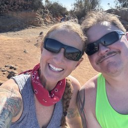
Hubby and I hiking spot Cowels mountain beautiful place to visit Bring your hiking boots and night light for evening trails after sunset read more


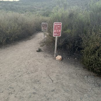


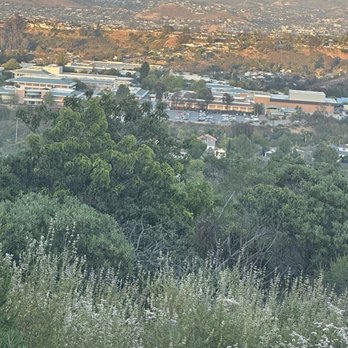


A local and tourist fav! Cowles Mountain is a San Diego classic and the highest point in the city (~1,593 ft.), which means this short hike hits HARD! The main trail is about 3 miles round-trip with a steady, rocky incline. Be prepared to have your heart pumping fast with some heavy breathing. Who needs a warm up? Just come here! There are other trails in the surrounding areas and the popular 5-Peak Challenge. It's on my bucket list for sure! Cowles is one of the most popular hikes in San Diego, so the timing matters. Early weekday mornings are ideal unless you enjoy crowds. Parking is usually easy with street spots and a small lot if you're lucky. There's a restroom, but not fully stocked or well-maintained. So use if absolutely necessary. Bring enough water (especially on a hot day), wear good shoes with grip since it can get rocky along the trail. Don't forget to stop a few times to admire the view on the way up! The payoff is worth it. You get a 360 degree view of San Diego from the oceans to the mountains. Short, steep, sweaty, and effective! 4 stars on a good day and still one of my favorite quick workouts to get the adrenaline pumping! read more


Cowhles (Kohls) mountain is one of my favorite mountains here in San Diego, I live nearby so I get a hike in maybe once a week. There are many trails that lead to the mountain peak but the most popular is the front of the mountain. I prefer the service road trail because there is less foot traffic and a lot more steeper. It can take anywhere from 30 min to an hour to reach the top depending on your fitness. Great for sunrise or sunset hikes. A great full moon hike as well. If you live in San Diego and haven't hiked up Cowhles atleast once, I highly recommend. PS keep an eye out for wildlife on the trail! read more

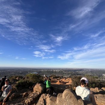

A classic hike that I like to walk every once in awhile! It has the right amount of incline, flat ground, and beautiful views for all ages. Parking is plentiful and can be found in their lot or on the street. It is a very popular hike to do in San Diego, so I would come at an off hour when the weather is not too warm for less crowds. It's nice once you reach the top and see the sign! Definitely makes me feel motivated to go all the way up. read more


Cowles Mountain offers a startling amount of scenery for something located within a major city. Pro/con of the main trail: you won't ever be the subject of a gruesome "hiker goes missing" saga as it's well-populated. But the non-isolation combined with the zig-zag means you may learn more about your fellow hikers than you might expect. On my recent visit three young gents described their dating conquests, with one in particular noting a successful visit that nonetheless remained within the guidelines of his religion. Another fellow provided an overview of Gaza to a geopolitical novice. I also got in trouble for attempting to talk to a dog. The trail is rated "difficult". It wasn't bad overall except for the few parts where there wasn't really a trail, just rocks. Years ago I made it to the summit. This time I had to settle for a "Rocky ending" where I didn't win but I endured. I got a mile up. In my defense, there was still a chance of rain, plus I was hoping for food, waterfront sunset and then more food. As a consolation prize for not getting to the summit, I briefly checked out the Barker Way trail. This diversion offers excellent mountain views but I didn't go the whole way as I wanted to keep an eye on the ocean. Geography note: you can get here by public transit but it won't be quick. The 115 bus goes a few blocks away. read more


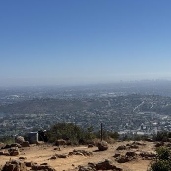
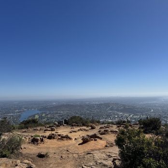
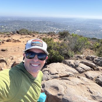
I'm going to update my review since it's been about 12 years. This is my absolute favorite hike in San Diego. It's intense so come early in the morning or later in the evening, unless it's cool out. It's about 30 minutes up and 30 minutes back down if you hike without stopping. About 10 minutes in, the intensity ramps up and then about 15 minutes in is about the most difficult. The last 7-10 minutes is all switchbacks, which are manageable until you get to the final switchback that takes you to the top. That last little bit is intense but you can see the top so it's maybe easier to keep going. The views from the top are amazing. You can see all of San Diego from there. I mean, down town, Point Loma, UTC, east county, even the ocean on a clear day. The way down is obviously much easier. Watch your footing though because it's super easy to turn an ankle on the uneven footing. If you "bound" down then you'll feel it in your knees the next day. Bonus points if you get to see sunrises and sunsets from here because they are amazing!!! read more





1 year ago
Top notch trail! If you start at the Big Rock park the inclines are killer. A little bit ok scrambling but the trail is very well maintained and very busy. Bring more water than you Think you'll need and wear shoes with good grip and support. There are bathrooms before you start up, in the park, and parking may or may not be limited. The views are to die for but the trail is steep!! Highly recommended ! read more


10 months ago
Great spot for a fun hike. It is all uphill (except on the way back obviously). It is hard packed dirt, rocks, and boulders. You are in nature. There is a very clear path. But it can be a workout. And the harder (faster) you go the better it is. But you can turn around and go back down whenever you want. Lots of people from different backgrounds enjoy this hike, so be cool and friendly. Some people do bring their dogs on leash. Some kids and older folks do the hike too. Go for a slow walk, a quick hike, or a strong run. Just have good shoes, the right clothes, some water, maybe a snack, and positive vibes. Enjoy! read more


2 years ago
Tranquil trail at sunset. Easy for new hikers and mostly pleasant during the cool of the day. I do not recommend hiking at night unless you're in a group and have a headlamp. There are rattles on this trail so be aware if you bring a dog. The trail is clean, well kept, and popular amongst San Diegans. I don't hike much and I thought it was easy. read more


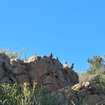

Still one of my favorite hikes in San Diego. It's a really versatile hike that's done by the young, the aged, the extremely fit, the fit, the getting-fit, pets, and kids. If you're on the fitter side, you might add a weighted pack, or work on your speed. If you're getting fit, it's still doable, just take your time. Plenty of parking. I recommend getting here early, 6am-6:30am, to beat the sun. I recommend at least 16.9 oz. of water, but carrying a 32 oz. thermos with ice cold water would be great. Staying at a steady pace, and not spending time at the summit, you can make it up and down in 75-80 minutes. Wear good shoes, with solid traction, as it can be slippery when coming down. I believe the roundtrip is a little under 3 miles. Most of the people are friendly, and will often exchange pleasantries when passing by. It's one of my favorite things about this mountain. Have fun, get your sweat on, and most importantly, stay safe. If you are bringing a pooch, make sure to bring them some water as well. Stay Hydrated! read more


10 months ago
Cowles Mountain has always been one of my favorite hikes in San Diego, beautiful views, a solid workout, and usually a safe, enjoyable trail. However, I'm sharing my recent experience as a warning for others to stay alert, especially around dogs. On July 22, 2025, around 8:AM, I was bitten by a dog while hiking. The incident was completely unprovoked and happened without any warning, the dog lunged and bit me near my left ankle. I've attached a photo to this review showing of what the dog's owner looks like. To make matters worse, the owner gave me a fake name and phone number. It was a painful and upsetting experience, and I want to make others aware that not all dog owners are responsible or honest. Please use caution around dogs on the trail, even in popular spots like Cowles Mountain. Despite this incident, it's still a great place to hike. Just be mindful, stay alert, and hike safely. read more


1 year ago


1 year ago
At 1,592 ft, Cowles Mountain is the highest peak in San Diego. There are two main routes to the summit: 1. A paved service road with a steady incline 2. A scenic trail (which adds about a mile) Since I had hiked Cowles many times before, I chose the scenic route. This route always stays very busy since it is rather touristy. It's a 3 mile hike to the Summit and back. The paved road is a 2 mile hike to the summit and back. This is more uphill and less crowded. Be careful because all the loose gravel can make the footing tricky. There were actually firefighters helping someone that had injured themselves when I arrived. At the summit, if you follow the path near the antenna, it will lead you to Pyles Peak--a quieter 1.5+ mile out-and-back hike from Cowles summit. There is a parking lot you can park in or street parking. There's restrooms at the entrance near the scenic side. There is not much shade so be aware of that. This hike is kept very clean. I just find it to be a little more on the boring side. If you do the five peak challenge, I recommend doing this hike last because you'll be exhausted, and there's a lot of people that you can follow or chat with to help with the motivation. It's also less steep too despite it being the highest peak. read more
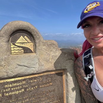


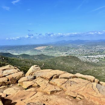

1 year ago
Beautiful day for a quick hike. Busy on the trail but people are usually nice to led you move through. Usually when I'm short on time or need a quick pick me up, this one of the spots I like to go to. read more


This is a hard but good hike! It was just under 5 miles and approximately 1,200 elevation gain. We started early on a Saturday morning and it took us about 2.5 hours to finish the hike. This includes the time we spent hanging out at the top of the mountain, enjoying the views and catching our breath. The hike is an out and back. There are a few different trails to get to the top of Cowles Mountain. Shade is limited and the trail was well kept. read more


Beautiful trail that's well worth the trip to the top! Luckily when we went it wasn't busy so we were able to easily get parking when we arrived in the afternoon. Definitely bring good footwear and water with you when you go. The 360 view at the top is incredible and you will get an awesome view of the surrounding San Diego area. read more

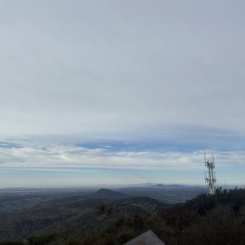


9 months ago
I used to hike this all the time in my 20s. Back when I used to work out. In a whim I decided to hike this at 37 as a completely sedentary person. Holy hell was it brutal. It took my boyfriend 45 min to make it to the top. Again, I am not a fit person. There were people walking up this with small children and I saw at least 2 women in dresses. I probably looked to be on the brink of death. But either way, I completed the hike and my legs felt like the had been run over for the following 4 days. Best of luck! read more


10 months ago
Start early for a better experience. Takes about 30 to 40 minutes to go up and walking down isn't easier than going up. I sprained my ankle walking down uneven surfaces. Wear good shoes with grip. read more


2 years ago
This is a great place to get your cardio up. Being a mountain, everything is up hill. There are no flat paths. I recommend hiking boots, but running shoes works too. You have to keep in mind, the smooth rocks and sand. This makes some areas slippery. Today I saw 3 people fall. All going down hill. The views are breathtaking. This includes the Rattlesnakes. Oh yes, there are rattlesnakes. You can see it in one of my pictures. Now me and my family are just starting our mountain hikes. So we made it only half way up. This mountain is great for novice and experienced hikers. One con, is that some people do not pick up after their dogs. So you got to watch out for poop. Some people also pick up after their dogs, but leave the poop filled bag on the trail. I will put an update, when I make it to the top. read more


1 year ago

10 months ago

3 years ago
Solid hike in San Diego. It's like the must do hike for the new residents of San Diego. It's a not too difficult, not too long. Solid views of San Diego. Can't go wrong with this one. Parking is decent. They do have a small lot, but there's a lot of street parking. This place can definitely be busy though. Located in Mission trails park. Definitely worth doing, even though it can get pretty crowded. It's winter time. read more


This hike wasn't too bad. I'd say light to medium. Good workout and you will sweat a little bit but not overly strenuous. A lot of switchbacks so the climb is not overly steep. Nice views from the top. Parking pretty easy I enjoyed the hike read more


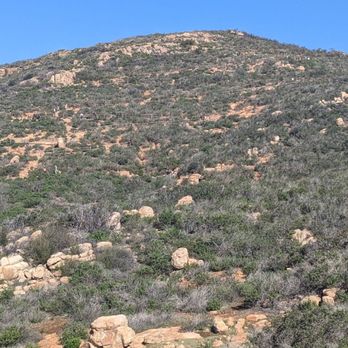
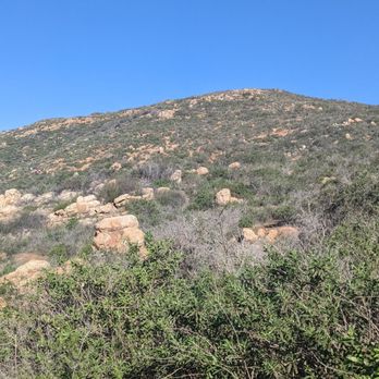

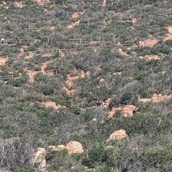

Hike: We chose a random 4-5mi route off Alltrails. It took us to Cowles Mountain's Summit, which at 1591 feet, is the highest point in Mission Trails Regional Park. We took some lovely photos along the way. Intensity: I would say moderate intensity hike, out and back. So whatever uphill you do will become downhill, and whatever downhill you did will become uphill on the way back! Not much shade, which didn't matter for a winter morning hike but may be an issue if you try to do a late hike in the summer Parking: We did free street parking because at 8AM, we already saw hikers street parking and walking toward the park. The lot attached to Cowles Mountain staging area already looked full. There is a bathroom here; I did not use it but it looked like a typical park bathroom read more


It's a zoo. Straight up. If you don't mind being around 100 other people at 6 am in the morning who are hiking this trail in flip flops with their music blasting, then you MIGHT just get a kick out of this place. Waaaaay too crowded. Way too many people not taking it seriously and coming unprepared. There are better hikes with better views in SD. But since I know that people will still come here (it IS a zoo after all), might as well give you the deets on the actual trailhead. The trail is a short 3 mile out and back with gradual inclining switchbacks that have no shade. It's best to start early. And when I say early, I mean at the crackus of dawn! 6 am apparently wasn't early enough since the parking lot was already full when I arrived. The parking lot is very small, but there is street parking... that seems to go on for miles since this is a popular hike. During the warmer months, you should definitely get there as early as possible because it gets extremely hot. The views on the way up get better and better as you get higher up the trail. There's nothing really spectacular about this hike honestly, but the views at the top are pretty nice. Unfortunately, you'll have to share them with half of the city since everyone and their mama will probably be there. I'm just not one for crowds, so this hike was a bit painful for me in that aspect. I'd highly, HIGHLY recommend NOT coming on a weekend if you have the luxury to do so. I think that maybe I would have enjoyed this hike more if I had come during the week. But in any event, it's a decent workout with some nice views at the top. It's a one and done for me though. Would not return again. There are waaaay better hikes with better views and less crowds in this area. read more


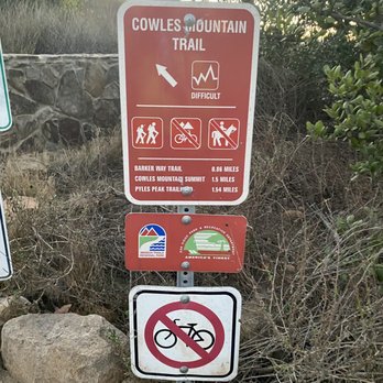


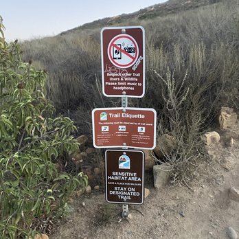


4 years ago
I checked out Cowles Mountain on my last night in San Diego. My niece her husband and I hiked the mountain to check out the sunset and it was a spectacular view! Please note if you plan to hike this mountain where proper shoes with lots of tread/grip because some sections were very steep and rocky and you do not want to fall. I wore slide on Skechers with little to no tread and I slipped a few times on my way down. But thankfully I did not fall;) There was a small parking lot at the bottom of the mountain and lots of street parking and a public restroom. We did not make it to the top as it was getting dark and I wanted to be able to see my next step. We used a phone flashlight for the last 10 minutes hiking down. The mountain was open to hiking until 10 PM. I would absolutely recommend checking out Cowles Mountain! Not only will you capture some spectacular views but you will get in a nice workout. read more
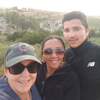


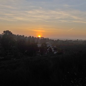


This has been my favorite hike in San Diego. We hiked up in the afternoon on a pretty hot day - I'd rate it as "moderate to easy" depending on your fitness level. The reason why it's my favorite is the spectacular view. You can see the SD skyline, ocean, surrounding mountains, lates, everything that makes SD such a fantastic place to live & visit. If you have a headlamp and feel comfortable hiking at night I highly suggest this spot for incredible sunset views. During my most recent hike I ended up hiking back down the mountain about half way to make the return trip a little easier and still was "wowed" by the view. It's perfect for a picnic and high on the list of activities that I suggest to my more active friends/family when they come visit SD and a hike I'm sure I'll do again and again. read more


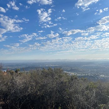

1 year ago

1 year ago

Probably one of the most popular hikes. Wear proper shoes ( a lot of rocks, small and big) enough water (depending on the time of day you go) and some snacks. They have restrooms at the small parking lot. I believe they have several ways you can begin the trail at . also have a coffee/tea smoothie shop just across the street. You will see people of all ages. This has to be one of my top 5 hikes. 3miles. Give this trail a go! Lastly at the top they have a map of other trails and their elevation read more


I love this trail. About 3 miles roundtrip. Great for beginners! There's a small parking lot but lots of street parking, don't leave anything valuable in your car. They have restrooms at the base. Beautiful view at the top! read more

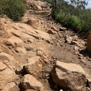

2 years ago
Had did a couple of hike and trails before doing this one and Cowles Mountain is bar far the best experience. Definitely worth the hike to the top at least once while in San Diego. read more


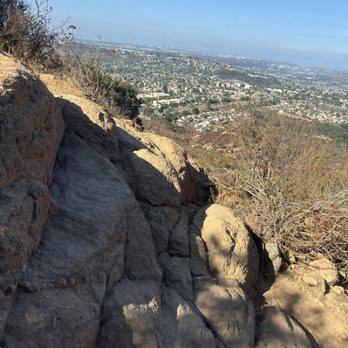


1 year ago

3 years ago
This is a nice little hike, at first you don't really think it's that huge, but about halfway up, you start thinking are we almost there yet? Lol There is a plaque on top of the mountain, which gives you a little history. Definitely good for picture taking up there. The best thing about this hike are the dogs! read more


I climb the backside service road next to the Barker way trail as there is less foot traffic and is a smoother but steeper route to take. Pay attention to rattlesnakes as I've seen quite a few on my climbs over the years. I love going in the mornings especially when there is fog that you can see over as you are climbing. Great views of east county and lake Murray read more


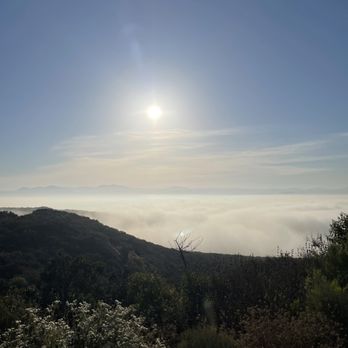

3 years ago
Grateful that this trail is open for the opportunity to exercise and enjoy nature, but it needs to be maintained for erosion and perhaps a couple of trash receptacles here and there. Unfortunately, pet owners think that just because they put their pet's waste in a bag, they can just leave it on the trail...so discourteous. Also, the bathrooms are atrocious! It always smells very badly and isn't very clean. read more


What an amazing hike! It takes about an hour round trip. It's definitely steep going up but worth that extra push in your glutes. I would consider this trail moderate. There is absolutely no shade on the trail so slap on that sunscreen, wear a hat and bring plenty of water. I highly recommend hiking boots. There is a nice plaque once you reach the top with breathtaking views of San Diego. Now there is a small parking lot at the bottom of the mountain with restrooms. However if you end up parking on the street make sure your tires are positioned in the right direction because they do write tickets!! read more


Page 1 of 26
More info about Cowles Mountain
Mission Gorge Rd
San Diego, CA 92119
Directions
Hours
Indoor Amenities
Outdoor Amenities
Cowles Mountain Reviews in Other Languages
Ask the Community - Cowles Mountain
Is this hike good for small dogs (less than 12lbs)?
Yes, in all honesty. However, it's a very high traffic trail with families young children runners and hikers and we would really appreciate it if pets remained at home because many pet owners leave bags and poop behind.
Is the trail now re open for hiking?
No it is not. It's a city park and they still have it shut down. Until they open parking for the rest of the parks, I'm sure it will stay closed.
Is cowles mountain closed due to the corona virus or is it still open?
Its closed indefinitely. Won't be open until at least Apr 30 most likely, probably longer. Check the San Diego City parks website
What time does the bathrooms open on Sundays?
Hi Joanne - there are restrooms at the base of Cowles Mountain on Golf Course Dr. These are open at all times and are similar to what you might see in most parks or natural areas (Read: No Frills)
Is this trail open past sunset for night hiking?
You should be fine .. I've gone early morning before sunrise& sunset .. it's a pretty easy hike a little steep for some ppl. But overall the view is just absolutely beautiful.
Are there signs posted for street parking regarding turning your wheels?
There are signs at the Golf Links and Navajo Road location.
Hi,I don't want to come back on the same path,so i am thinking of starting from Big Rock Trail-Cowel Mountain-Barker way Trailhead.Will that be easy-moderate or strenuous to complete?Any other suggenstions are highly appreciated.
I personally considerate it moderate, it isn't some crazy path or anything but there certainly is lots of incline. Definitely more incline taking this route versus the standard golfcrust trailhead. Especially towards the end where it's a steep… Read more
Approximately how long does it take to complete the trail, going up and coming back down?
It depends on your pace it's about 1.5 miles each way. So whatever your pace is at a 3 mile hike. It's a little over 900 feet elevation.
Review Highlights - Cowles Mountain
You might also consider














Why does Yelp recommend reviews?
65 reviews that are not currently recommended
The reviews below are not factored into the business's overall star rating.

18 years ago
13 years ago


15 years ago


16 years ago

5 years ago

3 years ago

13 years ago

12 years ago

2 years ago

6 years ago

9 years ago

17 years ago

15 years ago

14 years ago

12 years ago
9 years ago

9 years ago

12 years ago
Cowles Mountain - hiking - Updated May 2026
Best of San Diego
People found Cowles Mountain by searching for…
View Fireworks in San Diego, California
Hiking Trails in San Diego, California
Meteor Shower in San Diego, California
Beaches in San Diego, California
Star Gazing in San Diego, California
Pokemon Go in San Diego, California
Beautiful Views in San Diego, California
Scenic Night View in San Diego, California
Cliff Jumping in San Diego, California
Easy Hikes in San Diego, California
Skyline View in San Diego, California
Parks in San Diego, California
Sunset View in San Diego, California
Waterfall Hike in San Diego, California
Dog Friendly Things to Do in San Diego, California
Rock Climbing in San Diego, California
Hiking Club in San Diego, California
Off Leash Dog Hiking Trails in San Diego, California
Scenic Drives in San Diego, California
Sunrise View in San Diego, California
Redwood Trees in San Diego, California
Night Hike in San Diego, California
Trending Searches in San Diego, CA
Boat Rental near Cowles Mountain
Botanical Gardens near Cowles Mountain
Bounce House Rentals near Cowles Mountain
Campgrounds near Cowles Mountain
Cherry Picking near Cowles Mountain
Cliff Jumping near Cowles Mountain
Dog Friendly Things To Do near Cowles Mountain
Flower Fields near Cowles Mountain
Flower Shop near Cowles Mountain
Garage Sales near Cowles Mountain
Nurseries & Gardening near Cowles Mountain
Outdoor Activities near Cowles Mountain
Outdoor Furniture Stores near Cowles Mountain
Party Equipment Rentals near Cowles Mountain
Pick Your Own Farms near Cowles Mountain
Picnic Areas near Cowles Mountain
Places To Walk Around near Cowles Mountain
Rainy Day Activities near Cowles Mountain
Rock Quarry near Cowles Mountain
Running Trails near Cowles Mountain
Scenic Drive near Cowles Mountain
Secret Spots near Cowles Mountain
Strawberry Picking near Cowles Mountain
Sunrise View near Cowles Mountain
Swimming Holes near Cowles Mountain
Browse Articles
Browse Nearby
BEST of San Diego, California Coffee near Cowles Mountain
BEST of San Diego, California Restaurants near Cowles Mountain
BEST of San Diego, California Things to Do near Cowles Mountain
BEST of San Diego, California Breakfast near Cowles Mountain
BEST of San Diego, California Walking Trails near Cowles Mountain
BEST of San Diego, California Parks near Cowles Mountain
BEST of San Diego, California Campgrounds near Cowles Mountain
Browse Brands
Related Searches in San Diego, CA
Affordable Kayak Rental Services in San Diego, California
Best Fishing Locations and Guides in San Diego, California
Best Places for Horseback Riding in San Diego, California
Best Waterfalls and Swimming Holes in San Diego, California
Check Out Off Road Trails in San Diego, California
Discover Dog Friendly Trails to Explore in San Diego, California
Discover Scenic Hiking Trails in San Diego, California
Discover Scenic Mountain Bike Trails Near San Diego, California
Discover Walking Parks in San Diego, California Near You
Discover a Hiking Trail in San Diego, California
Discover the Best Night Hike Trails in San Diego, California
Discover the Best Running Track in San Diego, California
Dog-Friendly Hikes With Dogs in San Diego, California
Enjoy Camping Adventures Around San Diego, California
Enjoy Exciting Mountain Biking Adventures in San Diego, California
Enjoy Kayaking Adventures in San Diego, California
Enjoy Tent Camping Spots Around San Diego, California
Enjoy a Beautiful Waterfall Hike in San Diego, California
Enjoy a Peaceful Nature Walk in San Diego, California
Enjoy the Best Picnic Spots and Ideas in San Diego, California
Enjoy the Best Walking Path in San Diego, California
Enjoy the Best Walking Trails in San Diego, California
Exciting Cliff Jumping Spots in San Diego, California
Explore Beautiful Parks and Green Spaces in San Diego, California
Explore Easy Hikes Perfect for All in San Diego, California
Explore Fun Activities to Do in San Diego, California
Explore Popular Campgrounds Near San Diego, California
Explore the Best Beach Spots in San Diego, California
Explore the Best Trail Options in San Diego, California
Family Friendly Hiking With Kids in San Diego, California
Find Beautiful Views in San Diego, California
Find Popular Ziplining Spots Around San Diego, California
Find the Best Parks for Picnics in San Diego, California
Find the Best Scenic View Locations in San Diego, California
Great Places to Walk in San Diego, California
Hiking Trails With Waterfalls in San Diego, California
Off Leash Dog Hiking Trails in San Diego, California
Plan a Scenic Drive Route Near San Diego, California
Popular Outdoor Activities to Try in San Diego, California
Popular Picnic Spots to Visit in San Diego, California
Safe River Swimming Areas in San Diego, California
Safe and Fun Parks for Kids in San Diego, California
Top Climbing Spots and Gyms in San Diego, California
Top Paddleboarding Activities in San Diego, California
Top Places for Snorkeling in San Diego, California
Top Running Trails to Explore in San Diego, California
Top Swimming Lakes to Enjoy in San Diego, California
Top Swimming Spots and Pools in San Diego, California
People who viewed Cowles Mountain also viewed

Bayside Trail
16 reviews
Point Loma

Stonewall Peak Trail
100 reviews

Kwaay Paay Trail and Summit
76 reviews

Cuyamaca Peak
32 reviews

Cowles Mountain via Barker Way
19 reviews
San Carlos

Sweetwater Trail
9 reviews
Kearny Mesa

Old Mission Dam Trail
13 reviews

Mission Trails Regional Park
33 reviews

Navajo Canyon Open Space
11 reviews
Del Cerro

Pyle's Peak
40 reviews
San Carlos