Carlton peak Photos

More like Carlton peak
Recommended Reviews - Carlton peak
Start your review...

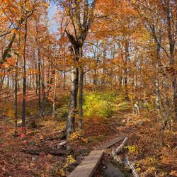
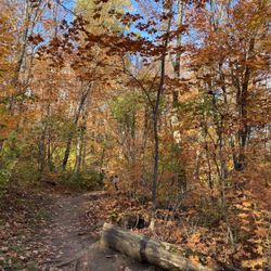
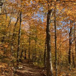
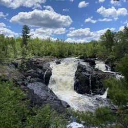
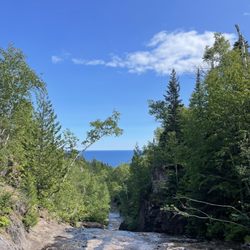
Carlton Peak has one of the most spectacular views in northern Minnesota. I would suggest not driving up here unless you have at least an SUV, the road is pretty bumpy. There are a few hiking trails from the summit going to other peaks as well. It would be a perfect place for a picnic! I seen at least one pic bench. read more
More info about Carlton peak
Tofte, MN 55615
Directions
Hours
Outdoor Amenities


Carlton peak - hiking - Updated July 2026
Best of Tofte
People found Carlton peak by searching for…
Browse Nearby
BEST of Tofte, Minnesota Things to Do near Carlton peak
BEST of Tofte, Minnesota Restaurants near Carlton peak
BEST of Tofte, Minnesota Coffee near Carlton peak
BEST of Tofte, Minnesota Parks near Carlton peak
BEST of Tofte, Minnesota Beaches near Carlton peak
BEST of Tofte, Minnesota Breakfast near Carlton peak
BEST of Tofte, Minnesota Ski Resorts near Carlton peak
Browse Brands
Browse Articles
People who viewed Carlton peak also viewed
Ray Berglund State Wayside
3 reviews
Solbakken on Superior
11 reviews
Oberg Mountain Trail
12 reviews
Pincushion Mountain Trail System
2 reviews
Putt n Pets Mini Golf
11 reviews
North Shore Adventure Park
6 reviews
George Crosby Manitou State Park
2 reviews
Northshore Scenic Overlook
1 review
Superior National at Lutsen - Golf Course
7 reviews
Superior National Forest
2 reviews