
Blue Mountain Trail Photos


You might also consider


More like Blue Mountain Trail
Recommended Reviews - Blue Mountain Trail
Start your review...


Reviews With Photos


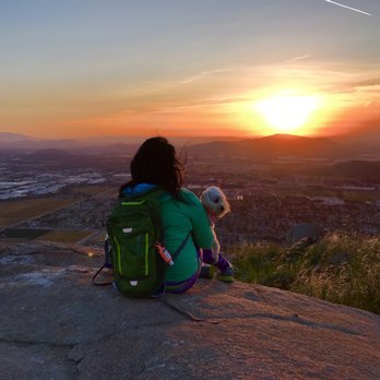
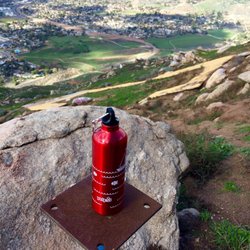
Blue Mountain Trail is my new Fav hiking route. It's less crowded than Mt. Robidoux . This trail is steep, which means more nasal flares for me(which is good, to make me sweat). Beautiful wild flowers, and its just beautiful to be seating on the huge rock once your up there. Fresh air and beautiful sunset. To those who wanted to watch the sunset- make sure you have flash lights and walking stick. It could go dark quickly before you reach back to your car. The only reason i Give 4 stars because of snakes. I hate snakes. make sure you are not alone hiking going up, just to be safe. Otherwise- beautiful.
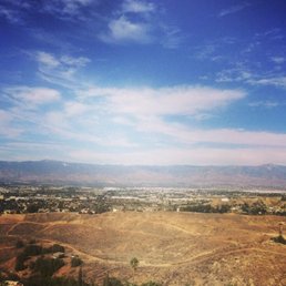

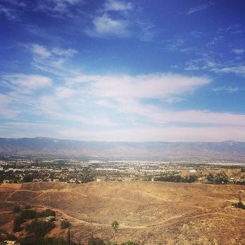
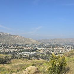
The most complicated issue with this trail is that a lot of people have trouble finding it. Since I'm a local I grew up doing this trail so thankfully I don't have an issue. It's a little hidden and most people miss it because it's in a residential area. Besides having a hard time finding it, it's a decent hike. Most of it is uphill which is really nice if your trying to get in a good workout for your lower body. The scenery is really nice and the view up top is beautiful as well especially if you go during the evening. It's a nice view of grand terrace. The other negative factor is if you go during the summer once in a while there is a lot of wind storms. If you have asthma like me try and avoid it. There is a lot of dirt and I've gone before during this time and it was so difficult to breathe even with an inhaler.


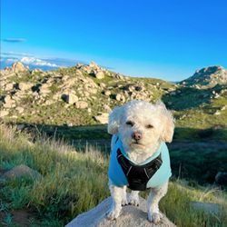
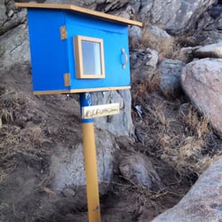
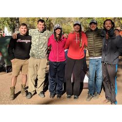
Went early morning this past Saturday with a friend and the view at the top definitely made waking up early on a Saturday worth it! Like Jav mentioned, it's a quiet trail and definitely a great one to do with friends. The trail has it's moments of butt kicking steep inclines, which means when you're walking back down the mountain to be careful! Enjoy the view while you're hiking up, and keep a look out for the legend marker! Enjoy! Parking: Street parking at the end of Westwood St x Westwood Lane. Distance: 4.5 miles, give or take which route you take up the mountain. Time: Took me a little less than 2 hours, start early unless you like the sun beating down on you! Dogs allowed: Definitely! Brought along my pup, but keep on a leash since this place frequents mountain bikers/dirt bikes.


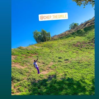
One of the best around Riverside, Redlands, San Bernadimo Area. Some areas are steeper but it is worth the hike.


Nice trail, I hadn't hiked in years and didn't have any trouble getting to the top. Best part is that it's not a popular trail.
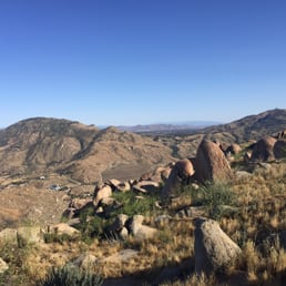

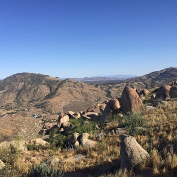
Park at Westwood Street past Honey Hill Drive. There's a yellow gate which leads you to the trail head. It was my 3rd time on this trial and I went with a group of friends on a Saturday afternoon around 3pm. It was sunny and windy for the most part. I forgot how tough the hike was going up. Took us about an hour to get to the very top, and for a second I thought I was getting really unfit since I gained quite a few pounds in the past year. We took the path right ahead which was pretty steep and soaked up the view at the top. Tbh, I like this hike more than Hulda Crooks since it's not too crowded and there's actually a top. I'd recommend anyone to check it out if your in the area. Only thing I didn't like was there was a lot of dog poop and probably horse poop around in the middle of the trial.


Ive always seen this mountain driving past the freeway and have always wanted to explore it. Pretty easy to find! Multiple routes you can take to get to the top. If you're looking for a quick workout, avoid the switchbacks and take the trail straight up from the willow tree. Its a good incline to the top and you will be sure to break a sweat.



6 years ago

10 years ago
This is a killer trail and i did not make it up to the top. There were definitely many people who made it, but not me..so i will be rating this trail advanced. There are multiple trails that lead you to different places and some require you to go through very steep, rocky, and thorny paths. When we were coming down the trail, i realized there was one big path that can be taken there. Becareful as some parts are steep! I slid down a hill and took my friend down with me! read more



10 years ago
Blue Mountain Trail is my new Fav hiking route. It's less crowded than Mt. Robidoux . This trail is steep, which means more nasal flares for me(which is good, to make me sweat). Beautiful wild flowers, and its just beautiful to be seating on the huge rock once your up there. Fresh air and beautiful sunset. To those who wanted to watch the sunset- make sure you have flash lights and walking stick. It could go dark quickly before you reach back to your car. The only reason i Give 4 stars because of snakes. I hate snakes. make sure you are not alone hiking going up, just to be safe. Otherwise- beautiful. read more




The most complicated issue with this trail is that a lot of people have trouble finding it. Since I'm a local I grew up doing this trail so thankfully I don't have an issue. It's a little hidden and most people miss it because it's in a residential area. Besides having a hard time finding it, it's a decent hike. Most of it is uphill which is really nice if your trying to get in a good workout for your lower body. The scenery is really nice and the view up top is beautiful as well especially if you go during the evening. It's a nice view of grand terrace. The other negative factor is if you go during the summer once in a while there is a lot of wind storms. If you have asthma like me try and avoid it. There is a lot of dirt and I've gone before during this time and it was so difficult to breathe even with an inhaler. read more

11 years ago
Went early morning this past Saturday with a friend and the view at the top definitely made waking up early on a Saturday worth it! Like Jav mentioned, it's a quiet trail and definitely a great one to do with friends. The trail has it's moments of butt kicking steep inclines, which means when you're walking back down the mountain to be careful! Enjoy the view while you're hiking up, and keep a look out for the legend marker! Enjoy! Parking: Street parking at the end of Westwood St x Westwood Lane. Distance: 4.5 miles, give or take which route you take up the mountain. Time: Took me a little less than 2 hours, start early unless you like the sun beating down on you! Dogs allowed: Definitely! Brought along my pup, but keep on a leash since this place frequents mountain bikers/dirt bikes. read more


5 years ago

6 years ago

7 years ago

8 years ago
One of the best around Riverside, Redlands, San Bernadimo Area. Some areas are steeper but it is worth the hike. read more



9 years ago
Nice trail, I hadn't hiked in years and didn't have any trouble getting to the top. Best part is that it's not a popular trail. read more


Park at Westwood Street past Honey Hill Drive. There's a yellow gate which leads you to the trail head. It was my 3rd time on this trial and I went with a group of friends on a Saturday afternoon around 3pm. It was sunny and windy for the most part. I forgot how tough the hike was going up. Took us about an hour to get to the very top, and for a second I thought I was getting really unfit since I gained quite a few pounds in the past year. We took the path right ahead which was pretty steep and soaked up the view at the top. Tbh, I like this hike more than Hulda Crooks since it's not too crowded and there's actually a top. I'd recommend anyone to check it out if your in the area. Only thing I didn't like was there was a lot of dog poop and probably horse poop around in the middle of the trial. read more


11 years ago
Ive always seen this mountain driving past the freeway and have always wanted to explore it. Pretty easy to find! Multiple routes you can take to get to the top. If you're looking for a quick workout, avoid the switchbacks and take the trail straight up from the willow tree. Its a good incline to the top and you will be sure to break a sweat. read more





8 years ago

11 years ago


10 years ago
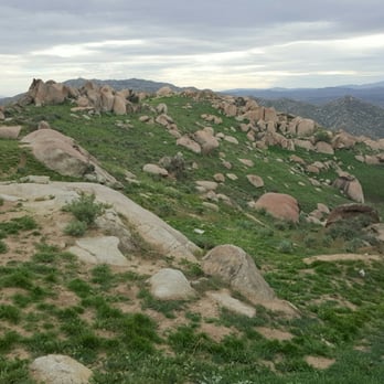
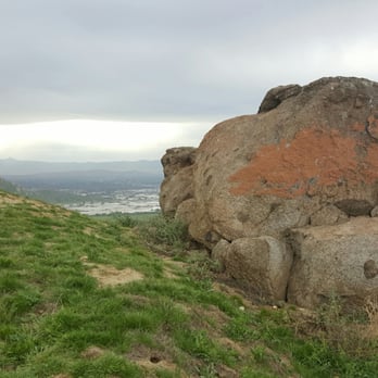
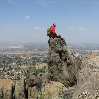
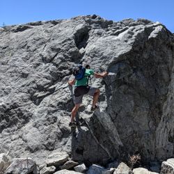
Like many of the surrounding hills, such as Jurupa, Blue Mountain is scattered with rocks everywhere and just seeing the different rock formations is worth the visit. My wife and I brought a friend along for a photo shoot and got some stunning shots. We were really happy with that and equally rewarded with the views from the top and joy of getting some good exercise. I returned later another time in the early morning and instead of going up the main trail kept walking straight up the backside. It has a really steep incline and what looks like a rock castle. As I approached the top I thought I saw a horse and realized it was a donkey. Then another and another followed after it and I was fortunate enough to see an entire herd of the wild feral donkeys. As I approached they all just stopped and were standing in a line with their ears raised up looking at my every move. We stared at each other for awhile and then I pushed onward to the top. Once there I turned on my GoPro and ran down the entire length of the switchbacks, google: "Running down Blue Mountain" and you can see the entire trail. This is perhaps one of my favorite trails now, best walked or run during the early morning or evening when the sun is not so strong. There isn't much shade. We brought along an umbrella. read more


11 years ago

10 years ago

10 years ago
8 years ago
10 years ago
More info about Blue Mountain Trail
Grand Terrace, CA 92313
Directions
Hours
Indoor Amenities
Outdoor Amenities
Ask the Community - Blue Mountain Trail
Is this hike dog friendly?
Where is the entrance for Blue Mountain Trail? Can you provide me the address close to the entrance? Thanks for your help!
So one of the entrances for the trail is adjacent to the intersection of Westwood Lane and Westwood St. in Grand Terrace.
Review Highlights - Blue Mountain Trail
You might also consider















Why does Yelp recommend reviews?
1 review that is not currently recommended
The reviews below are not factored into the business's overall star rating.

11 years ago


