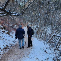
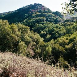
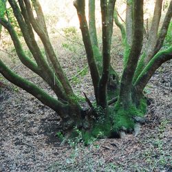
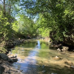
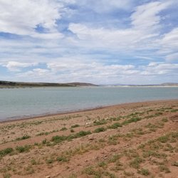
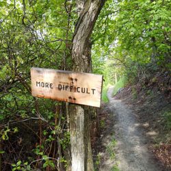
Blackhawk Trail Photos


You might also consider
More like Blackhawk Trail
Recommended Reviews - Blackhawk Trail
Start your review...

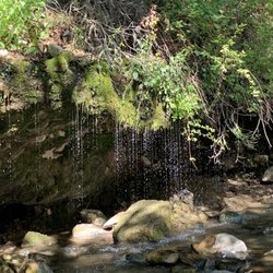
Gorgeous trail filled with beautiful aspens and what appeared to be dead sunflowers. I went early September but I will definitely return to this trail next year around may or june when all those plants are alive as I can only imagine how beautiful it will be! read more


More info about Blackhawk Trail
Blackhawk Campground Rd
Fairview, UT 84629
Directions
Hours
Outdoor Amenities


Blackhawk Trail - hiking - Updated May 2026
Best of Fairview
People found Blackhawk Trail by searching for…
Browse Articles
Browse Brands
Related Searches in Fairview, UT
Best Fishing Locations and Guides in Fairview, Utah
Best Nature Trails for Hiking in Fairview, Utah
Best Parks for Parties and Events in Fairview, Utah
Best Places for Horseback Riding in Fairview, Utah
Best Spots for Star Gazing in Fairview, Utah
Best Water Parks for Kids in Fairview, Utah
Best Waterfalls and Swimming Holes in Fairview, Utah
Check Out Off Road Trails in Fairview, Utah
Discover Lakes & Ponds to Explore in Fairview, Utah
Discover Popular Bike Trails in Fairview, Utah
Discover Top Nature Parks to Visit in Fairview, Utah
Discover the Best Night Hike Trails in Fairview, Utah
Discover the Best Running Track in Fairview, Utah
Enjoy Exciting Mountain Biking Adventures in Fairview, Utah
Enjoy Scenic Night View Experiences in Fairview, Utah
Enjoy the Best Night View Spots in Fairview, Utah
Enjoy the Best Picnic Spots and Ideas in Fairview, Utah
Enjoy the Best Walking Trails in Fairview, Utah
Explore Beautiful Parks and Green Spaces in Fairview, Utah
Explore Bike Rentals Throughout Fairview, Utah
Explore Easy Hikes Perfect for All in Fairview, Utah
Explore Free Things to Do Around Fairview, Utah
Explore Popular Campgrounds Near Fairview, Utah
Explore Popular Scenic Overlook Points in Fairview, Utah
Explore Scenic Lakes to Visit in Fairview, Utah
Explore Secret Spots Worth Visiting in Fairview, Utah
Explore Top Dog Parks in Fairview, Utah Near You
Family Friendly Hiking With Kids in Fairview, Utah
Find Fun Kids Activities Outdoor in Fairview, Utah
Find Parks and Recreation Activities in Fairview, Utah
Find Top Dog Swimming Spots in Fairview, Utah
Find the Best Playgrounds to Visit in Fairview, Utah
Have Fun at a Splash Pad in Fairview, Utah
Hiking Trails With Waterfalls in Fairview, Utah
Perfect Spots to Watch Sunset in Fairview, Utah
Picnic Areas With BBQ Pits Available in Fairview, Utah
Plan Nature Center Visits in Fairview, Utah
Plan a Scenic Drive Route Near Fairview, Utah
Popular Fishing Spots to Explore in Fairview, Utah
Popular Places to Take Pictures in Fairview, Utah
Popular Things to Do in Fairview, Utah
Popular Things to See in Fairview, Utah
Relax at Natural Hot Springs Near Fairview, Utah
Safe River Swimming Areas in Fairview, Utah
Safe and Fun Parks for Kids in Fairview, Utah
Top Playgrounds for Kids to Enjoy in Fairview, Utah
Top Running Trails to Explore in Fairview, Utah
Top Things to Do With Kids in Fairview, Utah