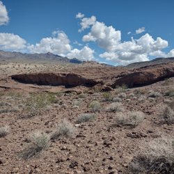
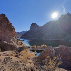
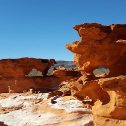
Arch Rock Photos


You might also consider
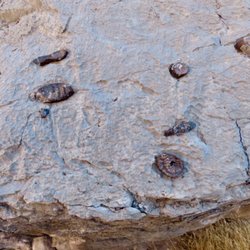
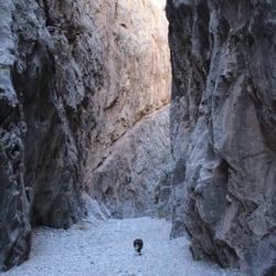
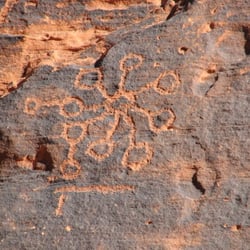
More like Arch Rock
Recommended Reviews - Arch Rock
Start your review...


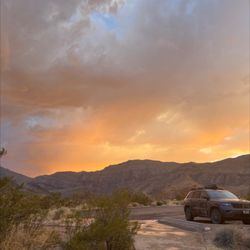
Arch Rock is a sits just near the edge of the road on a scenic 2 mile loop filled with views of interesting rock formations and gorgeous scenery. It is only worth a few minute stop and some people don't even get out of their vehicles; they just slow and stare or take a photo or two before continuing on. Still, it is an enchanting little arch and makes for a nice photo and I imagine depending on the sky at the time you visit you could get some spectacular shots. It's definitely worth keeping an eye out for when you are visiting Valley of Fire. read more


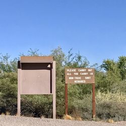
Arch rock is within the campsite loop road off the Valley of Fire highway. Where the location is located southwest of visitors center. Unfortunately they don't allow you climbing to the arch. The arch is tiny from the distance but the formation surrounding is beautiful. It is interesting place to explore. Arch has been use on many postcards. It is symbol of the red rock. read more


5 years ago
There are so many wonderful rock formations in Valley of Fire, so I'm not sure why this rather modest arch is featured. It is convenient. Almost don't need to exit your vehicle. But just scramble among the rocks a bit south of It, and you'll see plenty of arches and other nifty things. read more

More info about Arch Rock
29450 Valley Of Fire Rd
Overton, NV 89040
Directions
Hours
Outdoor Amenities


Arch Rock - hiking - Updated July 2026
Best of Overton
People found Arch Rock by searching for…
Things to Do in Overton, Nevada
Visitor Centers in Overton, Nevada
Scenic Views in Overton, Nevada
Off Road Trails in Overton, Nevada
Tent Camping in Overton, Nevada
Natural Hot Springs in Overton, Nevada
Places to Take Pictures in Overton, Nevada
Hiking Trails in Overton, Nevada
Beautiful Views in Overton, Nevada
Places to Visit in Overton, Nevada
Fishing Spots in Overton, Nevada
Things to See in Overton, Nevada
Photo Spots in Overton, Nevada
Walking Trails in Overton, Nevada
Reservation in Overton, Nevada