
Rademacher Hills Viewshed Photos


More like Rademacher Hills Viewshed
Recommended Reviews - Rademacher Hills Viewshed
Start your review...



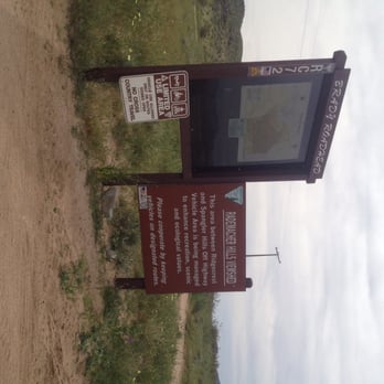
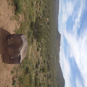
My hubs recently was told by a local that a great place to hike is RHV, which is near the 365 highway and where S. China Lake Blvd meet or end depending on where you're coming from. It can be easy to miss if your coming from out of town, but thankfully there is a tall brown sign that helps you find the right turn in spot. Just a word of advice, if you have a truck or a car that sits higher, definitely take that as opposed to a low riding car. My car sits low and was painful to hear the scratching noise it made while I drove into the parking area and out. There's actually no designated parking lot but you do have the option of parking closer toward the entrance or further in. I wasn't sure exactly how far to go, so I parked near a semi circle where there were a row of rocks and noticed while we were walking, if we went in a little further, we would've found another lot. This was our first time there and I LOVED it! We normally go to RH behind Cerro Coso College, but we've been trying to find alternative routes since we like to let our dog off the lease and there tends to be way more hikers/atv/mountain bike/bikers there. There were a few other cars there but we didn't run into anyone walking. We did see a few bikers, but thankfully there's a couple paths to choose from that lead to similar trails. The only thing I didn't like about this area, which like the other is there aren't any trash cans around. But other than that, there are definitely some challenging trails with steep paths, that seem to go on and on for miles. We also saw a couple piles of shingles, broken bottles, trash, shotgun shells and heard what sounded like loud booms (which I've heard on the other side of RH plenty of times. Now that it's getting warmer and soon, very very hot, make sure you take plenty of water, as there are no water fountains nearby. There is a Shell gas station about a quarter of a mile away, so you can pick up a couple bottles if you forgot your own! read more

More info about Rademacher Hills Viewshed
S China Lake Blvd
Ridgecrest, CA 93555
Directions
Hours
Outdoor Amenities


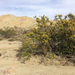

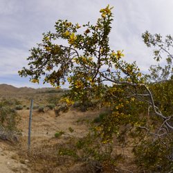
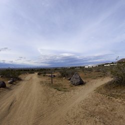



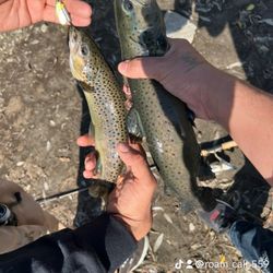
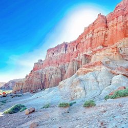

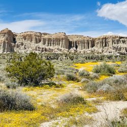


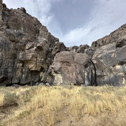
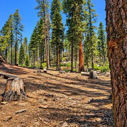


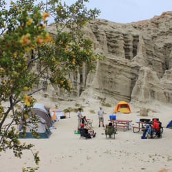


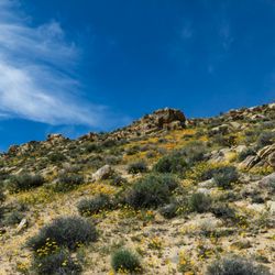

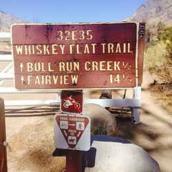


Rademacher Hills Viewshed - hiking - Updated October 2026
Best of Ridgecrest
People found Rademacher Hills Viewshed by searching for…
Things to Do in Ridgecrest, CA
Hiking Trails in Ridgecrest, CA
Running Trails in Ridgecrest, CA
Scenic Views in Ridgecrest, CA
Walking Trails in Ridgecrest, CA
Off Road Trails in Ridgecrest, CA
Parks for Kids in Ridgecrest, CA
Hiking With Kids in Ridgecrest, CA
Lakes & Ponds in Ridgecrest, CA
Beautiful Views in Ridgecrest, CA
Swimming Holes in Ridgecrest, CA
Places to Take Pictures in Ridgecrest, CA
Scenic Overlook in Ridgecrest, CA
Tourist Attractions in Ridgecrest, CA
Trending Searches in Ridgecrest, CA
Apple Orchards near Rademacher Hills Viewshed
Apple Picking near Rademacher Hills Viewshed
Atv Rental near Rademacher Hills Viewshed
Hair Stylists near Rademacher Hills Viewshed
Hiking Trails near Rademacher Hills Viewshed
Mountain Biking near Rademacher Hills Viewshed
Parks near Rademacher Hills Viewshed
Pharmacy near Rademacher Hills Viewshed
Photo Booth Rentals near Rademacher Hills Viewshed
Photo Spots near Rademacher Hills Viewshed
Pick Your Own Farms near Rademacher Hills Viewshed
Places To Take Pictures near Rademacher Hills Viewshed
Public Shower near Rademacher Hills Viewshed
Pumpkin Patches near Rademacher Hills Viewshed
River Swimming near Rademacher Hills Viewshed
Star Gazing near Rademacher Hills Viewshed
Venues & Event Spaces near Rademacher Hills Viewshed
Browse Articles
Browse Nearby
Browse Brands
Related Searches in Ridgecrest, CA
Affordable Bike Repair Services in Ridgecrest, California
Affordable Road Bike Rental in Ridgecrest, California
Best Dirt Bike Riding Spots in Ridgecrest, California
Best Dog Hiking Trails Around Ridgecrest, California
Best Electric Bike Rental Services in Ridgecrest, California
Best Fishing Locations and Guides in Ridgecrest, California
Best Nature Trails for Hiking in Ridgecrest, California
Best Places for Horseback Riding in Ridgecrest, California
Best Spots for Star Gazing in Ridgecrest, California
Check Out Off Road Trails in Ridgecrest, California
Discover Dog Friendly Beaches Near Ridgecrest, California
Discover Dog Friendly Trails to Explore in Ridgecrest, California
Discover Lakes & Ponds to Explore in Ridgecrest, California
Discover Popular Bike Trails in Ridgecrest, California
Discover Scenic Mountain Bike Trails Near Ridgecrest, California
Discover a Hiking Trail in Ridgecrest, California
Discover the Best Night Hike Trails in Ridgecrest, California
Dog-Friendly Hikes With Dogs in Ridgecrest, California
Enjoy Camping Adventures Around Ridgecrest, California
Enjoy Hiking Adventures in Ridgecrest, California
Enjoy Off Leash Dog Hikes in Ridgecrest, California
Enjoy Tent Camping Spots Around Ridgecrest, California
Enjoy the Best Walking Trails in Ridgecrest, California
Experience Stunning Sunset Views in Ridgecrest, California
Explore BMX Bike Shops Near Ridgecrest, California
Explore Beautiful Parks and Green Spaces in Ridgecrest, California
Explore Bike Rentals Throughout Ridgecrest, California
Explore Easy Hikes Perfect for All in Ridgecrest, California
Explore Electric Bikes Available in Ridgecrest, California
Explore Free Things to Do Around Ridgecrest, California
Explore Fun Activities to Do in Ridgecrest, California
Explore Popular Boat Charters Near Ridgecrest, California
Explore Popular Campgrounds Near Ridgecrest, California
Explore Popular RV Parks Around Ridgecrest, California
Explore Popular Scenic Overlook Points in Ridgecrest, California
Explore Popular Scenic Views Near Ridgecrest, California
Explore Scenic Lakes to Visit in Ridgecrest, California
Explore Secret Spots Worth Visiting in Ridgecrest, California
Explore Top Dog Parks in Ridgecrest, California Near You
Explore the Best Rock Climbing Areas in Ridgecrest, California
Explore the Best Swimming Holes Around Ridgecrest, California
Family Friendly Hiking With Kids in Ridgecrest, California
Find Exciting Tours to Take in Ridgecrest, California
Find Fun Things to Do With Kids in Ridgecrest, California
Find Parks and Recreation Activities in Ridgecrest, California
Find Specialized Bikes and Accessories in Ridgecrest, California
Find Top Mountain Bike Rental Options in Ridgecrest, California


