Ozaukee Interurban Trail Photos


More like Ozaukee Interurban Trail
Recommended Reviews - Ozaukee Interurban Trail
Start your review...



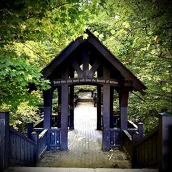
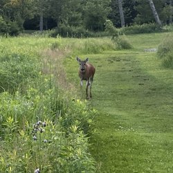
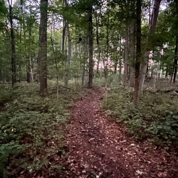
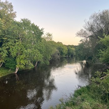
I know the Ozaukee Interurban Trail goes MUCH farther than the sections I've explored, so consider this a review from someone who has only scratched the surface. But from what I've seen, this is a pretty awesome way to get outside, get your steps in, go for a run, or hop on your bike and put some miles behind you. I really like the section through Grafton, especially the part where the trail crosses the Milwaukee River. The bridge is a great little stopping point. You can look down at the river, watch the water moving along, and pretend you're much more outdoorsy than you actually are. For the most part, the trail is nicely paved and smooth. There are some rough spots here and there, but overall it seems like they do a really good job maintaining it. One of my favorite discoveries is on the east side of the river, where you'll see a sign for the Bratt Woods Preserve. There's a nice loop through the woods you can use to get off the pavement and on a nice nature trail. No bikes allowed. But for those of us on foot it winds along the river for a bit and has some benches tucked away where you can stop, sit, and take in the scenery. And yes, you'll probably see some woodland creatures along the way. I've seen all kinds of people using the Interurban Trail: walkers, runners, rollerbladers, and bikers. But one thing I really appreciate is how respectful the traffic tends to be when the trail crosses a busy road. Most drivers I've encountered actually stop and let trail users cross, which makes a big difference. So far, I've only explored as far east as crossing the bridge over Highway 43, so I definitely have more of this trail to discover. And thankfully, you don't have to worry about trying to play leapfrog over Highway 43 to get there. If you're looking for an easy way to get outside in Ozaukee County, this is definitely worth checking out! read more




**Disclaimer: I haven't ridden very far into this trail. Getting that out of the way, this is a nice, well paved well marked trail that, combined with the northwestern portion of the oak leaf trail will take you from downtown Milwaukee through most of the town's of ozaukee county, with only a brief onroad portion (for the oak leaf trail) at green bay avenue in Glendale. Its a little more rustic feeling than the oak leaf (hey, even the power lines here become mainly wood as opposed to metal once you cross the county line) and its a lot less congested than riding the trails in Milwaukee proper (although love those too!) Also, although the name has "urban" in the title, I found the trail anything but and very pastoral (I've been waiting for a while to use that word in a review.) People seem more likely to give the universal biking/jogging "hi" and accompanying wave here than in the city. There's many places to stop for coffee, food etc along the way and a few stops in from the mke county line is a "family community center" that looked useful for pit stops. Another great addition to the greater Milwaukee areas parks and trails system! read more


12 years ago


12 years ago

9 years ago


15 years ago

7 years ago
I Suppose I've aged from my 60s Rock n Roll guitarist to an old guy who likes to think of how it used to be. The trail to me is food for thought of what it was before it lost its trax and cars and overhead power wires and people riding in the trolley cars from Milwaukee to Sheboygan and places along. I simply can't drive by the Hwy-O crossing without slowing to see a streetcar coming down that path. I imagine the flat run of trax across the terrain that has been removed for I-43. The 5 truss and trestle bridges in the county that jumped over the quarry to Cedarburg, or over the road and trax at Goodwill onto the Kennedy School playground. When I see the 1505 apartment plaza i see the trax that crossed right through it onto 11th and the R/R crossing lights blinking for traffic on "O" at the RIver. I kind of wish those day were stll here but then I got to ride the last Tosa trolley out of that village in 1958 and trolleys were our "entertainment as well. The Tracks-to-Trail us a wonderful use of that bed that moved everyone to their destination. When riding it on your bike or walking it - loo for traces of the old days. The concrete piers that held up to massive bridge at Pace Ind- it's still there inside the fence by the picnic table or on the hill next to Goodwill. Imagine what it used to be while you savor what it is now. No trolleys - no path - thank goodness for the trolleys. Marty read more


13 years ago

9 years ago
14 years ago