Green Gulch Trailhead Photos


You might also consider
More like Green Gulch Trailhead
Recommended Reviews - Green Gulch Trailhead
Start your review...

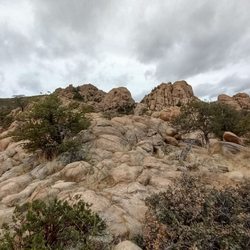
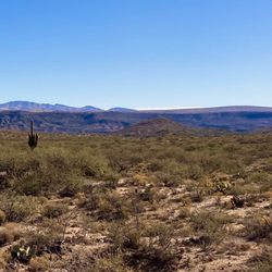
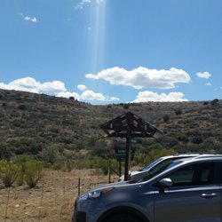
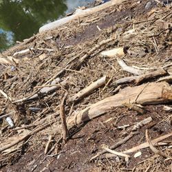
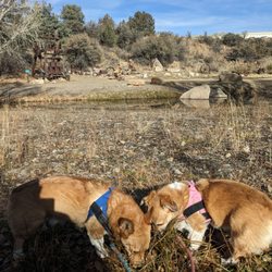
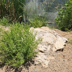
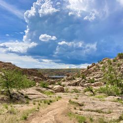
The trail head at Green Gulch offers a lot of variety with open grass and shrub at the beginning, rocky stream bed forested trails, and valley views from the Red Mountain trail. You begin on #9419 Charcoal Gulch trail which is a wide double track road suitable for ATVs. At about one mile the trail meets up with Red Mountain Trail #43 to the right which becomes narrower and rocky and winds through beautiful stream beds with abundant shade. After about a half mile on #43 switchbacks start climbing up to Red Mountain which offers great views to the east and north to Prescott Valley. This climb is rocky and a bit steep so will get your lungs going. Good hiking boots are needed, prefab let high top for ankle stability. We did a total of about 3 miles out and back but you can make this much longer as this trail connects to #42 Prospector Trail which is part of Lynx Lake. We will plan to go back and checkout a bit of #42 next time. On a cloudy and cool Friday in December we encountered only one person on the flat beginning section of the trail so this a great area for some solitude. read more


More info about Green Gulch Trailhead
9045 Newtown Ave
Dewey, AZ 86327
Directions
Hours
Outdoor Amenities


Green Gulch Trailhead - hiking - Updated July 2026
Best of Dewey
People found Green Gulch Trailhead by searching for…
Things to Do in Dewey, Arizona
Hiking Trails in Dewey, Arizona
Lakes & Ponds in Dewey, Arizona
Off Road Trails in Dewey, Arizona
Walking Trails in Dewey, Arizona
Horse Rental in Dewey, Arizona
Beautiful Views in Dewey, Arizona
Horse Stables in Dewey, Arizona
Equestrian Center in Dewey, Arizona
Running Trails in Dewey, Arizona
Horse Trainers in Dewey, Arizona
Sunrise Hike in Dewey, Arizona