Chidago Canyon Photos


More like Chidago Canyon
Recommended Reviews - Chidago Canyon
Start your review...

2 years ago
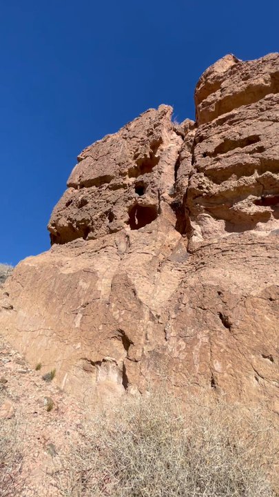
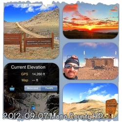
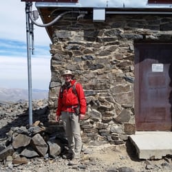
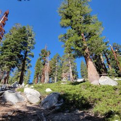
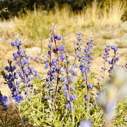
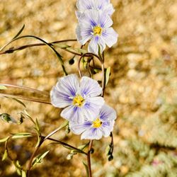
Whoa! Chidago Canyon is famous for petroglyphs so we were adventurously searching for petroglyphs. No lucks this time for genuine Indian petroglyphs; but we found one wall with a carved petroglyph of a miner. There were many beautiful rocks with different shapes and colors, wild flowers and some nice mining ruins. The views of the surrounding mountain peaks were spectacular and the natural landscape was amazing. Gorgeous place for serenity, peace, adventure, and nature! The canyon can be hiked and also be driven through although there were several narrow spots which could be tough for big trucks. Highly recommended! read more


More info about Chidago Canyon


Chidago Canyon - hiking - Updated May 2026
Best of Benton
People found Chidago Canyon by searching for…
Snow Play in Benton, California
Things to Do in Benton, California
Natural Hot Springs in Benton, California
Canyoneering in Benton, California
Hiking Trails in Benton, California
Star Gazing in Benton, California
Playgrounds in Benton, California
Tent Camping in Benton, California
Sunrise View in Benton, California
Lakes & Ponds in Benton, California
Fun Things to Do at Night in Benton, California
Swimming in Benton, California
Browse Articles
Browse Nearby
BEST of Benton, California Restaurants near Chidago Canyon
BEST of Benton, California Coffee near Chidago Canyon
BEST of Benton, California Things to Do near Chidago Canyon
BEST of Benton, California Breakfast near Chidago Canyon
BEST of Benton, California Fishing near Chidago Canyon
BEST of Benton, California Shopping near Chidago Canyon
Browse Brands
Related Searches in Benton, CA
Best Fishing Locations and Guides in Benton, California
Best Nature Trails for Hiking in Benton, California
Best Places for Stunning Views in Benton, California
Best Waterfalls and Swimming Holes in Benton, California
Discover Popular Bike Trails in Benton, California
Discover Scenic Creeks to Explore in Benton, California
Discover Scenic Mountain Bike Trails Near Benton, California
Discover Top Nature Parks to Visit in Benton, California
Discover the Best Night Hike Trails in Benton, California
Effective Stairs Workout Spots in Benton, California
Enjoy Scenic Night View Experiences in Benton, California
Enjoy the Best Picnic Spots and Ideas in Benton, California
Enjoy the Best Walking Trails in Benton, California
Exciting Cliff Jumping Spots in Benton, California
Explore Easy Hikes Perfect for All in Benton, California
Explore Popular RV Parks Around Benton, California
Explore Popular Scenic Overlook Points in Benton, California
Explore the Best Trail Options in Benton, California
Family Friendly Hiking With Kids in Benton, California
Find the Best Scenic View Locations in Benton, California
Hiking Trails With Waterfalls in Benton, California
Perfect Spots to Watch Sunset in Benton, California
Plan a Scenic Drive Route Near Benton, California
Popular Things to Do in Benton, California
Relax at Natural Hot Springs Near Benton, California
Top Running Trails to Explore in Benton, California