
Capitol Reef National Park Photos


You might also consider

More like Capitol Reef National Park
Recommended Reviews - Capitol Reef National Park
Start your review...


Reviews With Photos
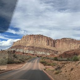

Our first day here and we did the long road drive , in and out. Wonderful views of red roc canyons.


Truly an amazing wonder of God's creation. The park is a must stop and enjoy the scenery. If you are a bicyclist the closing of the road to vehicles for two Saturdays in September is quite an amazing experience. All of the park's rangers were super helpful and all were great conversationalists. What a great experience and a beautiful place. Utah is lucky to have it.


This is a national park located in Utah about 2.5 hours drive from Moab. Stop in their Visitor Center so you can get a trail map. They also have guides on hand that will help you plan your adventure and answer any questions. We chose to hike Hickman Bridge and Colab Canyon Trails. We also drove out to see Bentonite Hills. The trails were moderately difficult and we enjoyed the challenge. We had a capable vehicle so we were able to make the treck to Bentonite Hills. Capitol Reef Park is somewhat overshadowed by the big ones so be sure not to miss it!


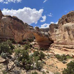
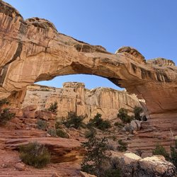
Truly a hidden gem with mountains of stunning colors - ribbons of orange, white, grey running across and sculpted by wind and water over millions of years. We went end of April and it was not too crowded. We started with Hickman's Bridge trail at 8:30 am after a short stop at the Visitor Center. We stayed at Capitol Reef Resort which gave us a nice handout summarizing the trails as well. For Hickman's Bridge, the small parking lot had a bathroom. It is rated as an easy-moderate trail. The trail was about 250-300 feet up switchbacks and stairs then an easier area before lots of rock scrambling to see the stone arch. Hiking poles were helpful navigating the ascent/descent and rocks until I went on all four's for some areas of tilted, uneven rocks. We almost missed seeing the bridge; we were so intent on trying to find footholds on the rocks and climbing. I think the left side of the loop would have been easier. Even though it is only 0.9 miles with a 400 elevation gain, it took us 1.5 hours round trip at my stopping to breath and carefully climbing/descending the rocks. Capitol Gorge Trail (2.3 miles, 80 ft elevation change) was more my speed being mostly flat and walking on small stones (hiking boots were helpful) through a canyon. (If it is going to rain; beware of flash flooding). The highlight was seeing faint petroglyphs and Mormon pilgrim signatures (from the 1800's) on parts of the rock walls. If you don't like climbing up rocks, I would say skip the optional hike up the mountain to see the water "tanks" or areas in the stone where the water collects. I saw some on the HIckman Trail and never finished that part since my thighs were getting too tired. My husband had difficulty finding the actual trail among the rocks and had to backtrack. The next day, my husband left at 6:45 am to do Navaho Knobs so he could be back by 11 am (we got a late checkout). Driving around the park, you can see the beauty without effort and the number of stunning rock formations and colors was truly something to behold.


One of Utah's awesome 5 national parks and one that you should check out. One of the busier of the 5 parks but still fairly easy to get in and around. There are some great sights and plenty of easy trails. The pictographs are amazing to see in person. I'm not much of a hiker but there are some easier trails that even beginners should be able to handle at a reasonable pace. Good facilities throughout and places to stop for a quick bite. Check this place out.


One more national park added to my collection. This was a good one and a park often overlooked by slack jawed visitors to Zion and Bryce canyon. Those are rightly famous and praiseworthy but Capitol Reef has a charm and interest all its own. It takes some effort to get here as its not really close to any big city. I'd suggest that once you get here you spend a few days. The town of Torrey has a fun Western bar and restaurant and there is good food in town. Hiking, views, history, and a geology lesson are highlights of the park for me.


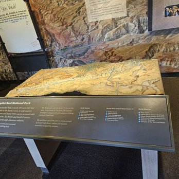
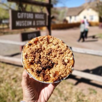
Geology geeks - REJOICE! Capitol Reef is a truly unique park. It protects and highlights a really weird geological feature of the earth and is quite beautiful as well. The visitors center and restrooms there are fine, they weren't my favorite, but they get the job done. In the visitor's center there is a video explaining how this weird geology happened. They call it a "wrinkle" in the earth's crust. I kind of think of it as a jagged bulge. The park road is marked with stops for you to enjoy. Definiely stop at Gifford House for some fresh baked pies. The cherry was SO GOOD. I tried them all. The mixed berry was also amazing with its crumb crust. There is a nice easy trail there, that goes along a river. Also excellent, the radioactive mines, the petroglyphs, Capitol Gorge, Hickman Bridge.


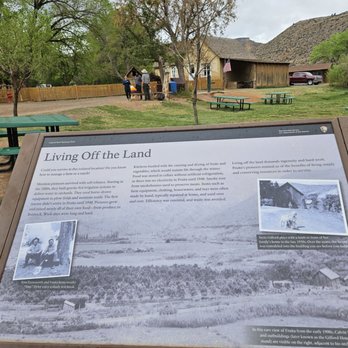
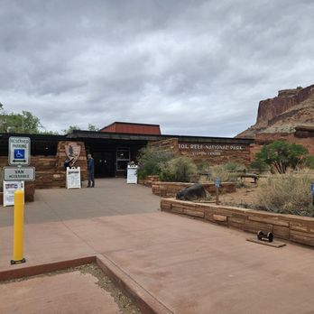
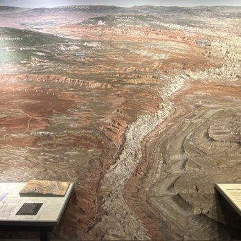
Utah has FIVE National Parks and they are all uniquely beautiful! Hubby & I visited on Sept. 23, 2025 (before the Government Shutdown on Oct. 1) and we were able to enter the Visitor Center. We always love looking at the displays and learning. Capitol Reef National Park got its name from two geological features -the Capitol Dome (a white sandstone formation that resembles the U.S. Capitol building) and the Waterpocket Fold (a massive rocky barrier that is described as a "reef" because it's difficult to cross). We drove from Capitol Reef Resort in Torrey, UT towards and through the Capitol Reef National Park on Utah State Route 24. After stopping at the Capitol Reef NP Sign, we saw Twin Rocks, drove to Chimney Rock Trailhead, and then over to Panorama Point & Goosenecks Overlook where we got out and walked up their respective rocky paths. On our way to the Visitor Center, we passed The Fluted Wall & The Castle. The Visitor Center was open and we bought some souvenirs after looking at the exhibits Driving further into the park, there is a point where you need to pay the entrance fee to access parts of the park. Nobody was at the very small entrance. We have a National Park Pass. We took the Scenic Drive next. There's a turnoff for the Grand Wash which is 2.25 miles of dirt road that winds up at a parking lot for the Cassidy Arch Trailhead. Fun Fact: It is named after Butch Cassidy because it is thought that he used this as area as a hideout. After driving to the end of the Grand Wash, we drove back out the same way we came in. Back on the Scenic Drive to see more beauty! You will pass the Slickrock Divide, Egyptian Temple, get views of the Golden Throne (a 7,041-foot mountain dome made of a gold color stained Navajo Sandstone), and end up at the Capitol Gorge Road Picnic Shelter where the road becomes Capitol Gorge Road. It will take you to a super small parking lot for the Capitol Gorge Trailhead. Again, you have to retrace your tracks and use the same route you came in! It's time for some pie! We stopped in the Gifford House Museum & Store. The line was long, but moved quickly. We bought two pies ($8.36 each) with two scoops of ice cream in cups ($1.86 each). I took a quick look at the one room with artifacts. Nearby are orchards. We stopped by to see the Chinese Wisteria planted in the early 1900 by settlers. It's a historic vine that people played on and has seen better days. They're trying to rehabilitate it back to health. We also stopped to take a few pictures of the Schoolhouse & Behunin Cabin. You can peek in the windows and see the interiors decorated as it would be back in the day. The last stop was to see the Petroglyph Panels. Thanks to other onlookers, we were able to spot the etchings. We were looking too high up! There are binoculars on the deck you can use to help see them. We did not go in the Ripple Rock Nature Center nor Blacksmith Shop. It was a nice day to enjoy the park and soak up the beauty that lies within it!
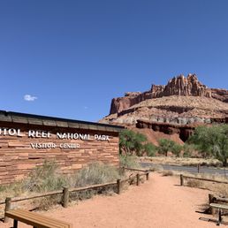

Really enjoyed this National Park because even on the Memorial Day week I didn't see crowds like in other National Parks. We went hiking all the way to the narrows and coming back up was a little harder and the heat made it even more challenging, nevertheless it was an experience that we didn't get anywhere else specially knowing that mountain lions roam this Park but of course that is at night and not in the heat of the day that is when they sleep but you never know where they might be napping It was difficult to write a review on the same day due to lack of connectivity but I still feel like it was yesterday and will feel like that for a long time. The big five are unforgettable


We really enjoyed our drive at Capital Reef National Park. Amazing reefs, beautiful scenery and easy drive. You can easily spend a few days here exploring, hiking, camping and picture taking.
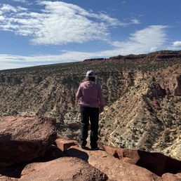

Beautiful park and so much to do and see. We took our 4x4 on some off road trails to explore more, had yummy pie at the Gifford Pie House (at noon when done and leaving it was already closed), we did the Hickman Bridge hike and that was a cool arch. The Bentonite Hills was fun to drive out to as well, and this is why we drove our high clearance 4x4 from Oregon, worth it.
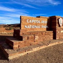

Utah has some of the most incredible national parks and Capital Reef is definitely one of them!! Dramatic rock formations in all colors, wildlife, arches, natural bridges, gorgeous picnic spots - totally worth a visit! We saw a huge family of deer and even a Kangaroo Rat!! Capital Reef is home to a 65 million year old warp in the Earth's crust called the Waterpocket Fold - which makes for some very interesting and remarkable geological wonders! And it's also the historical home of the ancient Fremont and Paiute Native American peoples, as well as early Mormon settlers. So you'll see historic buildings and lots of petroglyphs! I read that this park is not as busy as most - but we visited the day before the Annular Solar Eclipse and it was absolutely packed lol. So much so that we decided to leave our car at our picnic spot and just hike to the visitor center due to lack of parking lol. We started at the Fruita campground picnic area and there's a nice little trail that takes you all the way to the visitor center - 2 miles total there and back and flat - so it's an easy trail with gorgeous views!! After that we did the scenic drive and stopped to see the petroglyphs which were just awesome!! Then we finished our visit with the Hickman Bridge hike and that was definitely the highlight (see my separate review for this trail)!! The roads and trails are all very well maintained. I never had signal in the park but did have WiFi at the visitor center. I recommend to download any trail maps or anything else you need before visiting bc it's pretty remote. There are ample bathrooms around the park and at all the trailheads. I'm not sure how much it costs to enter - I never saw a pay station and we have national park passes that we just hung from our car mirror - those are $80 for the year and well worth it!

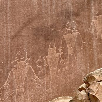
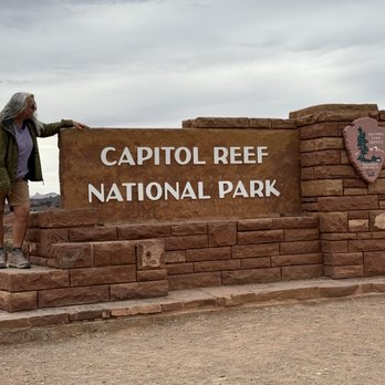
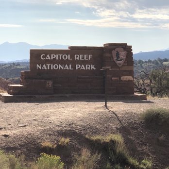
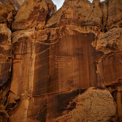
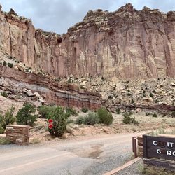
They setup a small table in front of the entrance sign, easy for us to take selfie, so considerate. It's a small NP, scenic drive is closed in this NP, but the driving from Moab to this NP is already a great scenic drive. Petroglyphs Panels - can you see antelope on the left and people on the right?


3 months ago
As part of our quest to visit all 63 U.S. national parks, we set off on a six week road trip. I have a personal rule: I only count a national park as "visited" if I actually spend time there, hike or walk through it, and truly experience it. On this trip, we visited 14 national parks, and Capitol Reef National Park became one of the most beautiful surprises of the entire journey. The drive from Death Valley to Capitol Reef was already an adventure, with constantly changing landscapes along the way. But nothing prepared us for the moment we arrived. Suddenly, the desert opened up into an incredible world of red rock formations, towering cliffs, and colors that seemed almost impossible. It was breathtaking. Capitol Reef is a smaller national park compared to some of the giants we visited, but it has a beauty and personality all its own. In fact, it became my husband's favorite park of the entire trip. There is something about the combination of landscapes, colors, history, and peacefulness that makes this park truly special. The scenery changes dramatically throughout the park. One area is filled with the famous red rock formations, cliffs, and sandstone walls that look like they were painted by nature. Then, as you explore other areas, the landscape changes into lighter limestone formations, with shades of yellow, cream, and gray. Everywhere you look there is a different view, a different texture, and a different color. One of the unique things about Capitol Reef is the historic Fruita area, where early settlers planted orchards along the Fremont River. Today, visitors can still see these beautiful fruit groves, which feel almost magical surrounded by the desert landscape. There is also a historic building in the Fruita area where they sell homemade fruit pies, and it is incredibly popular for a reason. The pies are absolutely delicious. We could not resist and enjoyed having pie and ice cream one morning for breakfast. When you are traveling, sometimes breakfast rules become a little more flexible! The park also has fascinating history, including ancient petroglyphs left by the Fremont people. Seeing these markings carved into the rock walls was a powerful reminder that people have been connected to this landscape for thousands of years. The hiking was another highlight. I especially enjoyed hiking through the Narrows, where I was able to explore on my own and experience the beauty and quiet of the canyon. Walking through the towering walls, surrounded by the colors and textures of the desert, was unforgettable. Capitol Reef feels like nature's own painting. The reds, oranges, yellows, blues, turquoise, and greens all come together to create a landscape that is constantly changing depending on the light. It is a park that invites you to slow down, look around, and appreciate the incredible creativity of the natural world. Capitol Reef may not always get the same attention as Utah's more famous parks, but it deserves it. It is beautiful, peaceful, full of history, and absolutely worth the visit. read more


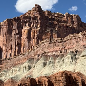




This is an amazing national park. One thing I noted about the park is that it offers things for people to do regardless of their activity level. If you're super fit and want to do hikes, good for you as there's plenty of strenuous hikes! If you aren't as active or use a mobility assistive device, you can travel on the very, very scenic drive and also learn about the ghost town of Fruita (although the NPS employees live there). If you time your visit right, you can even pick fruits from the orchards. I combined the Rim Overlook trail with the trail to Hickman Bridge to get amazing views, as well as hiked the Cassidy Arch trail. The trails weren't too crowded, so it was a great place to listen to nature and focus on hiking. You're rewarded with amazing views. Definitely hit up Gifford Homestead for fruit pies. They often sell out in the afternoon. read more






4 months ago
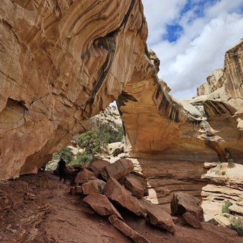
Capitol reef is a stunner of a place, and a perfect visit spot for a short trip (1-2 days, imo). You could definitely do a longer trip and REALLY see everything but I was satisfied to get a taste via some popular hikes including Cassidy arch, Hickman bridge, and the grand wash. I also was recommended to check out the Gifford Homestead where you can buy some EXCELLENT homemade pies and other goodies. I'm addicted to sugar so this was actually the highlight for me - the cinnamon roll, mixed berry and cherry pies that I bought were honestly some of the best pies I've had in my life. I had to eat them over the course of four days though since I was by myself and they are decently sizable (about the size of a large saucer/small dinner plate). As for the hikes - the arches were a bit strenuous but very doable in the span of a morning. Do beware that the trail is kind of hard to follow on the Cassidy arch trail - I got QUITE confused at one of the confluence areas of trails and ended up wasting a good 30 mins trying to figure out where I was/where the trail actually is. I saw a couple hikers coming down eventually and that's how I figured out where I was supposed to go. The Cassidy arch viewpoint is REALLY cool though, and of course the view of the vista at the arch itself is lovely. The Hickman bridge is also very impressive. I came on a random weekday in April and there were a handful of other hikers but really the trails were quite empty, and the trailhead lots had TONS of parking available, no issue. No traffic going in or out of the park either. The weather was decent; cloudy but wasn't rainy (it had been raining/sleeting just west of the park where my airbnb was though, so come prepared!). By the end of the grand wash hike in the early afternoon I was already getting pretty hot, and felt ready to move along on my NP road trip. Overall - if you're taking a tour of Utah I think it would be a travesty to miss this park, they're all incredible and unique in different ways! read more



21 days ago
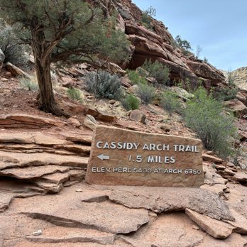
Our first day here and we did the long road drive , in and out. Wonderful views of red roc canyons. read more
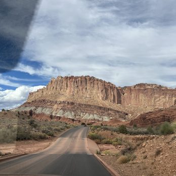


Truly an amazing wonder of God's creation. The park is a must stop and enjoy the scenery. If you are a bicyclist the closing of the road to vehicles for two Saturdays in September is quite an amazing experience. All of the park's rangers were super helpful and all were great conversationalists. What a great experience and a beautiful place. Utah is lucky to have it. read more



5 months ago
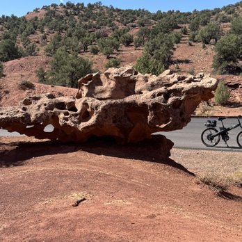
This is a national park located in Utah about 2.5 hours drive from Moab. Stop in their Visitor Center so you can get a trail map. They also have guides on hand that will help you plan your adventure and answer any questions. We chose to hike Hickman Bridge and Colab Canyon Trails. We also drove out to see Bentonite Hills. The trails were moderately difficult and we enjoyed the challenge. We had a capable vehicle so we were able to make the treck to Bentonite Hills. Capitol Reef Park is somewhat overshadowed by the big ones so be sure not to miss it! read more


Truly a hidden gem with mountains of stunning colors - ribbons of orange, white, grey running across and sculpted by wind and water over millions of years. We went end of April and it was not too crowded. We started with Hickman's Bridge trail at 8:30 am after a short stop at the Visitor Center. We stayed at Capitol Reef Resort which gave us a nice handout summarizing the trails as well. For Hickman's Bridge, the small parking lot had a bathroom. It is rated as an easy-moderate trail. The trail was about 250-300 feet up switchbacks and stairs then an easier area before lots of rock scrambling to see the stone arch. Hiking poles were helpful navigating the ascent/descent and rocks until I went on all four's for some areas of tilted, uneven rocks. We almost missed seeing the bridge; we were so intent on trying to find footholds on the rocks and climbing. I think the left side of the loop would have been easier. Even though it is only 0.9 miles with a 400 elevation gain, it took us 1.5 hours round trip at my stopping to breath and carefully climbing/descending the rocks. Capitol Gorge Trail (2.3 miles, 80 ft elevation change) was more my speed being mostly flat and walking on small stones (hiking boots were helpful) through a canyon. (If it is going to rain; beware of flash flooding). The highlight was seeing faint petroglyphs and Mormon pilgrim signatures (from the 1800's) on parts of the rock walls. If you don't like climbing up rocks, I would say skip the optional hike up the mountain to see the water "tanks" or areas in the stone where the water collects. I saw some on the HIckman Trail and never finished that part since my thighs were getting too tired. My husband had difficulty finding the actual trail among the rocks and had to backtrack. The next day, my husband left at 6:45 am to do Navaho Knobs so he could be back by 11 am (we got a late checkout). Driving around the park, you can see the beauty without effort and the number of stunning rock formations and colors was truly something to behold. read more


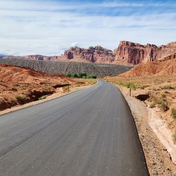


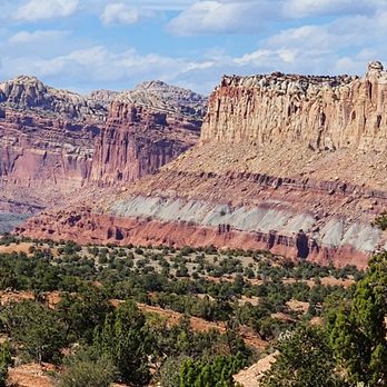

One of Utah's awesome 5 national parks and one that you should check out. One of the busier of the 5 parks but still fairly easy to get in and around. There are some great sights and plenty of easy trails. The pictographs are amazing to see in person. I'm not much of a hiker but there are some easier trails that even beginners should be able to handle at a reasonable pace. Good facilities throughout and places to stop for a quick bite. Check this place out. read more

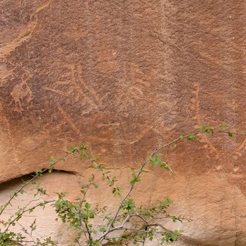


One more national park added to my collection. This was a good one and a park often overlooked by slack jawed visitors to Zion and Bryce canyon. Those are rightly famous and praiseworthy but Capitol Reef has a charm and interest all its own. It takes some effort to get here as its not really close to any big city. I'd suggest that once you get here you spend a few days. The town of Torrey has a fun Western bar and restaurant and there is good food in town. Hiking, views, history, and a geology lesson are highlights of the park for me. read more


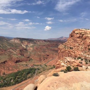


1 year ago
Geology geeks - REJOICE! Capitol Reef is a truly unique park. It protects and highlights a really weird geological feature of the earth and is quite beautiful as well. The visitors center and restrooms there are fine, they weren't my favorite, but they get the job done. In the visitor's center there is a video explaining how this weird geology happened. They call it a "wrinkle" in the earth's crust. I kind of think of it as a jagged bulge. The park road is marked with stops for you to enjoy. Definiely stop at Gifford House for some fresh baked pies. The cherry was SO GOOD. I tried them all. The mixed berry was also amazing with its crumb crust. There is a nice easy trail there, that goes along a river. Also excellent, the radioactive mines, the petroglyphs, Capitol Gorge, Hickman Bridge. read more


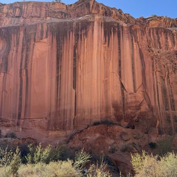


Utah has FIVE National Parks and they are all uniquely beautiful! Hubby & I visited on Sept. 23, 2025 (before the Government Shutdown on Oct. 1) and we were able to enter the Visitor Center. We always love looking at the displays and learning. Capitol Reef National Park got its name from two geological features -the Capitol Dome (a white sandstone formation that resembles the U.S. Capitol building) and the Waterpocket Fold (a massive rocky barrier that is described as a "reef" because it's difficult to cross). We drove from Capitol Reef Resort in Torrey, UT towards and through the Capitol Reef National Park on Utah State Route 24. After stopping at the Capitol Reef NP Sign, we saw Twin Rocks, drove to Chimney Rock Trailhead, and then over to Panorama Point & Goosenecks Overlook where we got out and walked up their respective rocky paths. On our way to the Visitor Center, we passed The Fluted Wall & The Castle. The Visitor Center was open and we bought some souvenirs after looking at the exhibits Driving further into the park, there is a point where you need to pay the entrance fee to access parts of the park. Nobody was at the very small entrance. We have a National Park Pass. We took the Scenic Drive next. There's a turnoff for the Grand Wash which is 2.25 miles of dirt road that winds up at a parking lot for the Cassidy Arch Trailhead. Fun Fact: It is named after Butch Cassidy because it is thought that he used this as area as a hideout. After driving to the end of the Grand Wash, we drove back out the same way we came in. Back on the Scenic Drive to see more beauty! You will pass the Slickrock Divide, Egyptian Temple, get views of the Golden Throne (a 7,041-foot mountain dome made of a gold color stained Navajo Sandstone), and end up at the Capitol Gorge Road Picnic Shelter where the road becomes Capitol Gorge Road. It will take you to a super small parking lot for the Capitol Gorge Trailhead. Again, you have to retrace your tracks and use the same route you came in! It's time for some pie! We stopped in the Gifford House Museum & Store. The line was long, but moved quickly. We bought two pies ($8.36 each) with two scoops of ice cream in cups ($1.86 each). I took a quick look at the one room with artifacts. Nearby are orchards. We stopped by to see the Chinese Wisteria planted in the early 1900 by settlers. It's a historic vine that people played on and has seen better days. They're trying to rehabilitate it back to health. We also stopped to take a few pictures of the Schoolhouse & Behunin Cabin. You can peek in the windows and see the interiors decorated as it would be back in the day. The last stop was to see the Petroglyph Panels. Thanks to other onlookers, we were able to spot the etchings. We were looking too high up! There are binoculars on the deck you can use to help see them. We did not go in the Ripple Rock Nature Center nor Blacksmith Shop. It was a nice day to enjoy the park and soak up the beauty that lies within it! read more

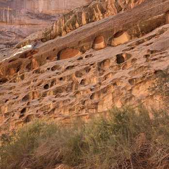


Really enjoyed this National Park because even on the Memorial Day week I didn't see crowds like in other National Parks. We went hiking all the way to the narrows and coming back up was a little harder and the heat made it even more challenging, nevertheless it was an experience that we didn't get anywhere else specially knowing that mountain lions roam this Park but of course that is at night and not in the heat of the day that is when they sleep but you never know where they might be napping It was difficult to write a review on the same day due to lack of connectivity but I still feel like it was yesterday and will feel like that for a long time. The big five are unforgettable read more



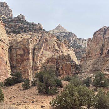
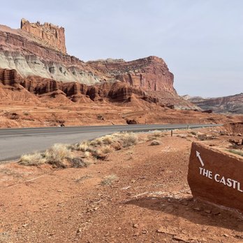

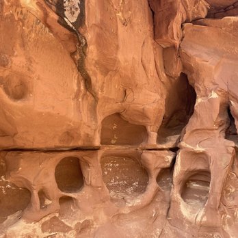


2 years ago

Beautiful park and so much to do and see. We took our 4x4 on some off road trails to explore more, had yummy pie at the Gifford Pie House (at noon when done and leaving it was already closed), we did the Hickman Bridge hike and that was a cool arch. The Bentonite Hills was fun to drive out to as well, and this is why we drove our high clearance 4x4 from Oregon, worth it. read more
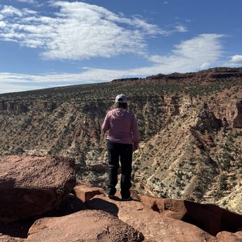


Utah has some of the most incredible national parks and Capital Reef is definitely one of them!! Dramatic rock formations in all colors, wildlife, arches, natural bridges, gorgeous picnic spots - totally worth a visit! We saw a huge family of deer and even a Kangaroo Rat!! Capital Reef is home to a 65 million year old warp in the Earth's crust called the Waterpocket Fold - which makes for some very interesting and remarkable geological wonders! And it's also the historical home of the ancient Fremont and Paiute Native American peoples, as well as early Mormon settlers. So you'll see historic buildings and lots of petroglyphs! I read that this park is not as busy as most - but we visited the day before the Annular Solar Eclipse and it was absolutely packed lol. So much so that we decided to leave our car at our picnic spot and just hike to the visitor center due to lack of parking lol. We started at the Fruita campground picnic area and there's a nice little trail that takes you all the way to the visitor center - 2 miles total there and back and flat - so it's an easy trail with gorgeous views!! After that we did the scenic drive and stopped to see the petroglyphs which were just awesome!! Then we finished our visit with the Hickman Bridge hike and that was definitely the highlight (see my separate review for this trail)!! The roads and trails are all very well maintained. I never had signal in the park but did have WiFi at the visitor center. I recommend to download any trail maps or anything else you need before visiting bc it's pretty remote. There are ample bathrooms around the park and at all the trailheads. I'm not sure how much it costs to enter - I never saw a pay station and we have national park passes that we just hung from our car mirror - those are $80 for the year and well worth it! read more
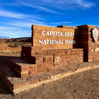


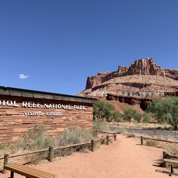
They setup a small table in front of the entrance sign, easy for us to take selfie, so considerate. It's a small NP, scenic drive is closed in this NP, but the driving from Moab to this NP is already a great scenic drive. Petroglyphs Panels - can you see antelope on the left and people on the right? read more
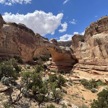


4 months ago

1 year ago
Wow what a beautiful place, we enjoyed driving through the park and stopping along the way. The petroglyphs are so interesting. read more


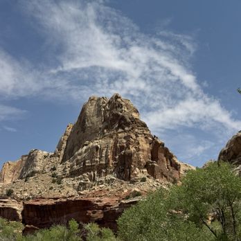


2 years ago
Capitol Reef is a gem of a national park. Not just Capitol Reef but also the BLM and National Monument land around it is all first rate. And you know what, it's largely empty! If you know where to go. You can check out my detailed guide at www.wanderin2wonder.com/capitol-reef for more information. We had a good time in Capitol Reef in the central core by the visitor's center, but we had a fabulous time exploring the far reaches of the park (and the surrounding BLM land) in the Bentonite Hills, Looping the Fold, driving Scenic Byway 12, and exploring slot canyons. And we were pretty much all alone. What Capitol Reef lacks in hoodoos and arches it more than makes up for in variety, peace and stillness. read more


This is our fourth park of Utah's big five (Canyonlands being our last missing park), and we greatly enjoyed our time at Capitol Reef. The park is beautiful with many wonderful views and deserves a good two days if you want to take part in many the great hikes it has to offer. Hickman Bridge is a great hike (probably about 3 hours in total if you take your time) that shows you both wonderful land formations (the bridge) as well as beautiful views of the park as a whole. We also enjoyed Chimney Rock Trail. Definitely strenuous at the beginning, we weren't able to do the whole hike due to time constraints, but just the portion we did also had beautiful views of the park. Wish we would've had time to do the whole thing. They have a wonderful scenic drive that begins just past the visitor's center that will get you some gorgeous views of the park. Capitol Gorge is at the end, and I highly recommend driving the dirt path to the trailhead - it's a great drive. If it's open, you also have to stop by the Gifford Homestead to get yourself some pie. This pie is fantastic, and such a random but pleasant find in a national park. They also have cinnamon rolls that are pretty good if pie isn't your thing. This park was fun and had some beautiful views. In comparison to the other Utah parks I've been to (Zion, Bryce, Arches), this one seems more out of the way than the others, and, while beautiful, doesn't have quite the magnificence the others have. Still a wonderful park, and I enjoyed my time here. 100% worth a good visit and you'll have a great time, but it's not one of the ones I would choose to return to a second time. read more
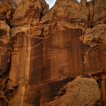

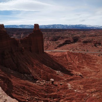

Super underrated park- after spending the last two Labor Day weekends here, it's one of my favorite places in Utah. Capitol Reef is uncrowded, relaxed, and slow-paced. It is seemingly ignored by many, in favor of the more famous Utah parks. I love Zion and Bryce, and Capitol Reef does match up with them (in a quieter way). There are hiking trails for all levels and lengths. Since you're in the desert, bring more water than you need and be mindful of the hottest point of the day. Cassidy Arch is stunning but not recommended for those with a fear of heights. The Grand Wash and Hickman Bridge are easy for most. Once you get past the beginning switchbacks, Cohab Canyon to Fruita Overlook is phenomenal- slot canyons, gorgeous rock formations, and views for days. Definitely stop at the Gifford House for pies in the morning- you won't regret it! read more


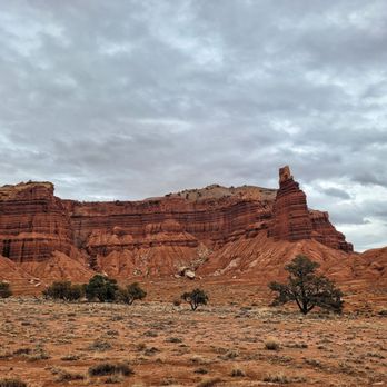
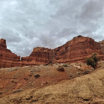
Only had time for one national park before heading back home, so we chose Capitol Reef National Park. Didn't get to do much hiking, but we did pass through the scenic drive and highway 24, which offers a lot of views. Along the scenic drive is historic Fruita, which is a cute spot for a picnic and getting to know the districts history. At the end of the winding drive is one of the coolest dirt roads. Capitol Gorge Road is a must-see. It's a four-wheel drive dirt road and offers spectacular, up close views of the rocks. Highway 24 offers a lot of roadside views and overlook stops. Two of my favorites were Panorama Point and Goosenecks Overlook. One thing that needs improving, though, is signage. We literally had to slam on our breaks multiple times because the pullouts were hidden and had no signs indicating that there was a stop ahead. All in all, a great park with lots to see and do! read more






6 months ago

Wow! This is one of the most beautiful places I have seen. So majestic and amazing. I have knee problems and did the Hickman Bridge hike (moderate difficult) and after several stops I was able to make it. I was dead lol but it was so worth it. If I was able to do it with a cane, you can do it for sure. If you have a chance, pay the $20 (done by honor system) for the scenic road and go off road, there you will be next to these gorgeous mountains, where I was humble by their majestic beauty. See video attached and you see what I meant. Don't miss the opportunity to go to this park. read more

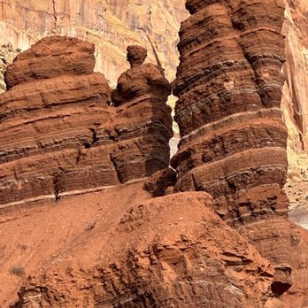


We visited Capitol Reef National Park on a cold day. despite the cold this park is magnificent. The landscape.Is full of beautiful red rock formations and mountains. The beauty and vastness of it just blows you away. We hiked and trailed. It's very well sign posted with a through road where you can turn off & explore. We loved it. read more


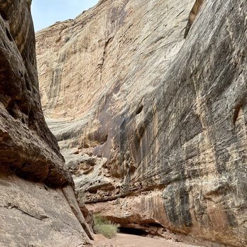
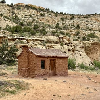


This is a huge park. I think it would take me a few days to do all the trails. We did some, and every trail we took was a little different and more beautiful. We drove this time around, no hiking. It was a not so busy day. I was lucky with the traffic. It kind of felt like we were alone here. It was pretty cool. The colors from these beautiful big rocks are incredible. You feel so small next to these huge structures. I thought it was amazing how one side of the road, the rock structure was so different from the other. I had a great time taking pictures. I was fortunate to have had a great guide that pointed out the little things I would have missed. This was a good time to have come to this park. I was told that it has started to get more busy. That it gets sometimes so busy that they have to limit capacity. I guess I am lucky I came at the right time today. read more


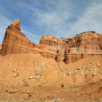


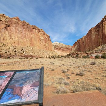


05/12/22 - Capitol Reef National Park - Park 3 of 5 To be fair we didn't spend as much time at Capitol Reef because we kind of drove through on the fly on the way from Moab to Zion. We did make a few stops along the way. We left Moab @ 8am & got to Zion after 8pm. The other thing that delayed us was road construction along the road through the park that really slowed us down. read more




Probably one of the least talked about national parks in Utah capital reef definitely doesn't disappoint. The park is probably the smallest of those in the state it's still plenty to do. I recommend getting in super early in the morning because it is small has less room for people. The main scenic road is absolutely beautiful depending on the time of year you'll see maroon rocks, tan sand, mixed in with beautiful luscious green foliage along the river. Unfortunately there is not much to do if you are traveling with a pet. You are very limited to the roads campgrounds in a few to pass, but are not allowed on any of the hiking trails or back country. There are also no 4 x 4 trails here so our visit was strictly for the scenic drive. It's still worth it to come even if you were with a pet. If not traveling with a pet there's plenty of hiking backpacking canoeing rock climbing mountain biking and horseback riding. read more


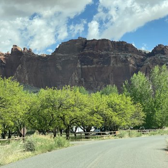

Wonderful park!! We traveled here in September. We had great weather. This park has beautiful rock formations and scenic drives including a dirt road drive, which we did go on. It was very cool. You drive right next to the rocks. Would suggest 4 wheel drive. Also will not be open if there is rain due to it is a wash and will flood quickly. They also have apple and pear trees in the park. This is how the original settlers made their money. While we were there it was apple time and you could pick your own for a price. I really enjoyed this park read more



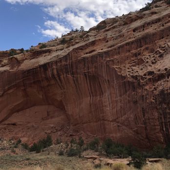

We traveled here in September. This is a beautiful park. Did you know they grow apples here and while we were there you could pick your own for a price. The rock formations are very beautiful. The visitor center was informative and enjoyed learning about the park. We took the scenic drive and also the dirt road drive not sure of the name. You drive in between the rock formations. Might suggest 4 wheel drive. Also does close if there is rain coming because it is a wash and will flood quickly. Fortunately we had great weather. No food available at the park. We did plan ahead and bring our own lunch. Picnic tables were available. Highly suggest visiting this park. read more

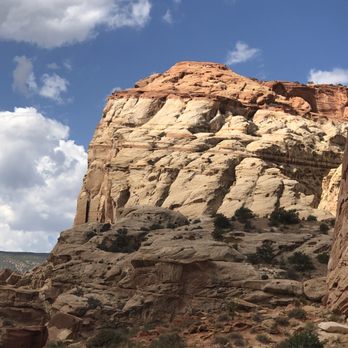

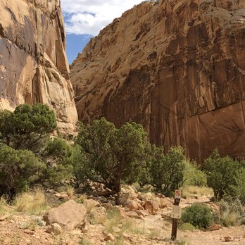

1 year ago

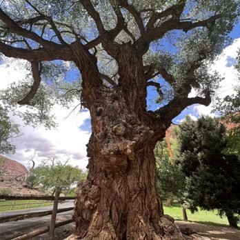
TL/DR: Do the Scenic Drive. According to other people, the Cassidy Arch Trail is really great, but we unfortunately didn't do it. Capitol Gorge and Hickman were cool, but not must-dos. Be sure to check out the Cottonwood trees! We visited Capitol Reef National Park on our drive from Arches/Canyonlands to Bryce Canyon. It was cool! Get the America the Beautiful pass! It's $80 and it gets you into every national park in the country for a year! Well worth it! To bring: WATER!! (we each brought a 1.5 liter bottle, plus two 20 oz. water bottles - always better to have too much than too little), sunscreen, food (we each brought a peanut butter and jelly sandwich, as well as a protein bar), sunglasses and/or hat. To wear in the summer: Close-toed trail running or hiking shoes, athletic wear, like leggings or shorts, and a t-shirt. There were so many people wearing sandals or flip flops with no traction. You really limit yourself when you don't have proper footwear! Here's what we did: - Scenic Drive - Took us about 15 minutes each way. Very nice that you can drive the park and see some nice views! - Capitol Gorge - This took us 1.5 hours, but we went past the Tanks (little pools of water in the mountain - we saw tadpoles!) and there wasn't really anything to see past the Tanks. If we had just turned around after the Tanks, it would've maybe taken us 45 minutes to an hour. Plenty of parking at the trailhead, as well as a bathroom with no running water. - Hickman Bridge - Took us an hour. It was cool, but if you've been or are going to Arches, you'll see better at Arches. We saw that other people liked the Cassidy Arch Trail, and maybe we should've done that. There were some great views, but I think we could've just done the Scenic Drive and been fine. read more

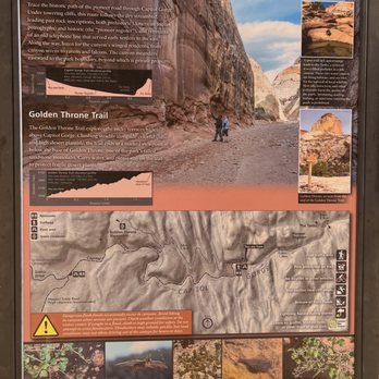


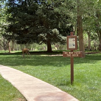


What a cool park! You must do Cassidy arch! HIKES/DRIVES - Cassidy arch is the only arch you can walk on the actual arch...not just in Capitol Reef, but any other arch in Utah. It's a spectacular hike a little more than three miles round trip, but it's all uphill...then all downhill. Some of the hike has narrow ledges and steep rock as stairs, so be mindful. - Cathedral Valley: Whoa, this was a 100 mile drive and will take most of your day. You'll need a high clearance vehicle to get across the river and through the uneven, unpaved roads. Honestly, I was over it at mile 18, but my bf thought it was one of the highlights of the trip. There is a ton to see! CAMPGROUNDS We stayed at the Fruita campground for two nights. There's no privacy in between campsites. The bathrooms (flush toilets, but no showers) had soap dispensers, but the utility sink in our campground was out of order. It's always nice to stay inside a National Park, but it's not imperative for Capitol Reef since it's not a highly trafficked park (and no entrance station to hold you up). We saw lots of campers utilizing the BLM sites literally right outside the park for free. read more
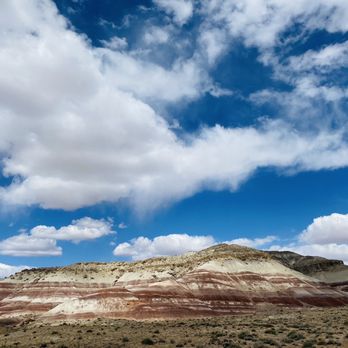


***My 1,800th Review*** Capitol Reef National Park; Utah's mighty underdog. When referring to Utah's Mighty 5, most people tend to mention Zion National Park first. Bryce Canyon and even Arches may ring in the 2nd and/or 3rd place mention. But Zion... yeah, Zion seems to always get most of the credit and praise. And while Zion is beautiful, it doesn't seem to have quite the same charm as Capitol Reef. Well, it didn't for me anyways. You see, Capitol Reef exudes this kind of wonderful secluded essence that Zion and Bryce Canyon just don't have. When you're there, it really feels like it's just YOU there all by yourself at times. It's like this crazy discovery that you don't really want to share with anyone else. But then again, you kinda do because you just can't help but to gush about how striking it is. Driving into Capitol Reef felt like driving through a movie. It's completely unreal. One moment you're just cruising through the desolate desert and then BOOM! Gorgeous canyons. Colorful sandstone cliffs. Jagged mountainous ridges and extraordinary monoliths. It's just beauty all around you. Beauty, right before your little eyes. And you won't be able to get enough of it. Trust me. There's no entrance fee to get into this park which really amazes me silly. However, its' remoteness is what makes this National Park one of the least traveled within Utah. But, that's what's so exciting about it. You can admire this beauty with the least bit of distraction. And damn is there a lot to admire! I completed two hikes during my trip here last year; to Cassidy Arch and to the Hickman Bridge. Both hikes were incredible but the Cassidy Arch hike was my absolute favorite. Being able to stand on top of that amazing arch was so wild. It was kind of frightening at times looking down at the sheer drop right beneath me. In fact, this hike made me realize that I actually do have a small fear of heights. But being able to hike on top of that enormous arch felt so incredible. And of course, it was just stunning! The Hickman Bridge was another beautiful beast. I was winded from my hike to Cassidy Arch when I hiked to the Hickman Bridge, but being able to stand right below that natural arch was something to remember. It was so special. Even if you're not into hiking, there are so many great places to stop and explore here. You've got Sunset Point and Goosenecks Point. The wall of petroglyphs. So many amazing viewpoints. Everywhere you turn is just an enchanting view of the canyon. If you plan on coming here during the summer time, you need to bring plenty of water and make sure that you're hydrated before you get there. It gets HAAAAWWT! Like, no joke. And there's not much sun protection so sunscreen, shades, and a hat are an absolute MUST. But even with that, you'll still have a very enjoyable time here. As I write this review, I'm looking at all of the amazing pictures that I took while I was here. I'm reminiscing about my visit. What an amazing park. I honestly can't wait to return. I know that Capitol Reef is remote and it isn't the most popular National Park in the world. But, damn is it beautiful. Totally worth the trek in my opinion. read more




2 years ago
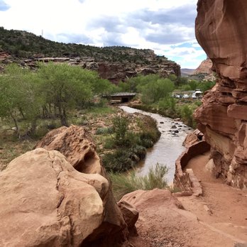
Capital Reef National Park is a gem. The lush greenery is such a wonderful change of pace. The home made pies at the Gifford House is a step back in time. highly recommend stopping by for an oversized individual fruit pie. The Cherry was super - slightly tart wirh amazing crust. The peach pie had too much allspice for our liking. This park is full of history and is such a pleasant way to spend a few hours. make sure and see the Petroglyphs - there is a nice shaded boardwalk and easy pull off. read more


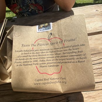


Stop 3 of our Utah Mighty 5 National Parks odyssey. Capitol Reef is a lesser known national park. I think that's because it doesn't have as famous landmark like the Delicate Arch or unique features such as hoodoos. It's kind of a middle of the pack among the Utah Mighty 5, so it's not as memorable. But don't get me wrong, outside of Utah, it'd be a big deal! Two recommended activities at Capitol Reef are picking fruits at Historic Orchards in Fruita and hiking the Hickman Bridge Trail. Well, April is not a fruit picking season, so after a cursory drive on the scenic route (which kind of got old after 10-15 minutes of similar landscapes), we turned around and headed to the Hickman Bridge Trail. The Hickman Bridge Trail is 2-mile round trip. The versatile terrains and sceneries made the hike very interesting and enjoyable - it's a must!! It can be a laborious 2 miles, so don't rush but take your time and enjoy it. Oh, on your way from the visitor center to the Hickman Bridge Trailhead, don't forget to look for and stop by the petroglyphs. There is a sign and a turn-out parking lot for it. At first you don't know how big the petroglyphs are or where to look for them, but when you find them you'd be surprised how delighted you are :) [This is a COVID-19 shelter-in-place review series. Trip was taken exactly 1 year ago.] read more
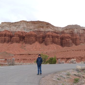


We first visited the fifth of the "Mighty Five" Utah national parks last October and just went again this past weekend. What I love most about this gem is that it's not as crowded as the other national parks we've been to and you can look forward to eating pie. Yes, the park rangers at the visitor center encourage you to get to Gifford Homestead for one of the 30 dozen pies made daily for parkgoers-- woo hoo! Of course, the park itself is full of natural beauty. The highlights for me were hiking to see Hickman Bridge and Cassidy Arch. You'll probably spy lots of deer roaming around and maybe even a marmot so keep your eyes peeled. read more






2 years ago
It was our first visit to the N.P. Prior to starting your adventure, it is wise to visit the Visitor Center to obtain any updates regarding information about the area. Also it is wise to obtain a map from the center - there isn't any WiFi within the park. Visited many sites / trails within the park. Always bring water and snacks while in the park and dress accordingly to the weather forecast( average temps 65 - 70 degrees). Some trails get very busy during the morning hours...we decided to hike during late mornings to avoid the crowds and parking issues. Overall the visit was great .... So much to see and experience. read more




Page 1 of 5
More info about Capitol Reef National Park
52 West Headquarters Dr
Fruita, UT 84775
Directions
(435) 425-3791
Call Now
Visit Website
http://www.nps.gov/care
Hours
Outdoor Amenities
Other Amenities
Capitol Reef National Park Reviews in Other Languages
Ask the Community - Capitol Reef National Park
Review Highlights - Capitol Reef National Park
















Why does Yelp recommend reviews?
3 reviews that are not currently recommended
The reviews below are not factored into the business's overall star rating.

2 years ago

8 months ago


