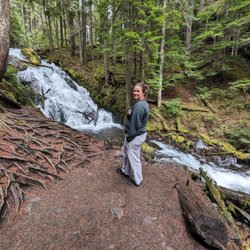
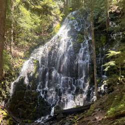
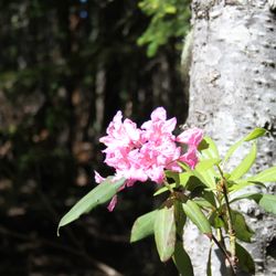
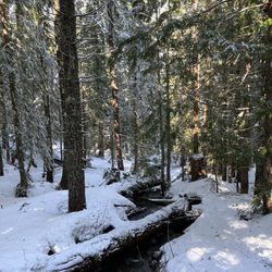
Burnt Lake Trail Photos


You might also consider
More like Burnt Lake Trail
Recommended Reviews - Burnt Lake Trail
Start your review...

1 year ago
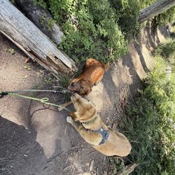
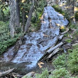
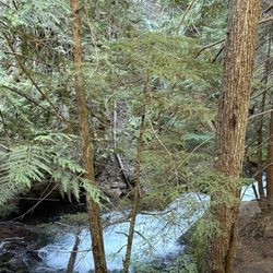
Excellent 8 mile in and out. A few water spots to cross, a little mud but absolutely worth it. Great hike!!! No bathrooms, limited parking. Not many bugs, still a bit of snow - end of May. read more


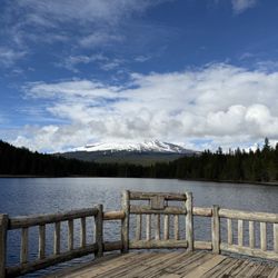
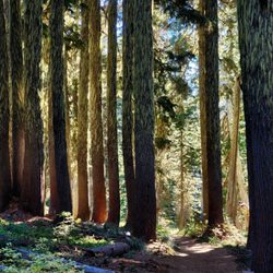
Another great PNW hike. Soft pine needle floor, lush ferns and abundant fungi. And the canopy! Gorgeous. The mountain never really got out of bed today, but Wy'east did pull the covers back a couple of times. The hike up was strenuous buy not terrible, with many creek crossings. The lake itself was still and green, disturbed only by a hawk that flew low over it. I got a late start and by the time I got to the lake I was the only one there. The quiet was incomplete - many bees were still hard at work. I stayed there for a while, then dark clouds rolled in and the wind picked up. I realized I had 3.5 miles to go and was completely alone with night falling. I hurried back with looks over my shoulder the whole way. It was beautiful, but also kinda unsettling. I won't lie, I loved it. Great hike. Next time I'll go up to Zig Zag point. read more


 - Hiking Near Me")


12 years ago
More info about Burnt Lake Trail
Zigzag, OR 97049
Directions
(503) 622-3191
Call Now
Hours
Outdoor Amenities


Burnt Lake Trail - hiking - Updated June 2026
Best of Zigzag
People found Burnt Lake Trail by searching for…
Things to Do in Zigzag, Oregon
Fishing Lake in Zigzag, Oregon
Lookout Points in Zigzag, Oregon
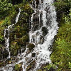
Hiking Trails With Waterfalls in Zigzag, Oregon
Off Road Trails in Zigzag, Oregon
Walking Trails in Zigzag, Oregon
Secluded Spots in Zigzag, Oregon
Running Trails in Zigzag, Oregon
Hiking With Kids in Zigzag, Oregon
Camping Sites in Zigzag, Oregon
Scenic Overlook in Zigzag, Oregon