Buckskin Cliff Shadows Trailhead Photos







You might also consider


More like Buckskin Cliff Shadows Trailhead
Recommended Reviews - Buckskin Cliff Shadows Trailhead
Start your review...


Reviews With Photos

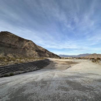
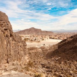
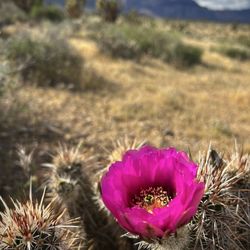
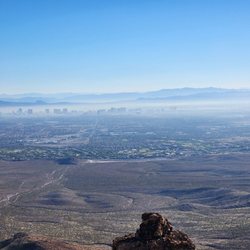
Four of us went here to do some exploring for the Friends of Red Rock Canyon Cultural Resources Team. From the large parking lot, we went around the flood control basin and headed up the wash. There were several shelters we needed to GPS and measure, and we were looking for some Indian roasting pits. Heading toward what is the northernmost part of Summerlin, we found one of the large shelters. From there, we found what could have been the roasting pits but they had been damaged by runoff when we have heavy downpours. We then got on one of the mountain bike trails--Toque. This trail is a connector to other mountain bike trails that are hidden from the 215 and Cliff Shadows Parkway. The trail goes around the base of the ridge and it's an easy, single dirt track trail used my mountain bikers, hikers, and horseback riders. There are a lot of cacti and other desert plants along the trail and growing out of the limestone ridge. The view of the Strip from here is a delight. The park has restrooms, lots of parking spaces, a corral for the horse people, and several tie ups for horses. It is another gem of the parks that have been built by the City of Las Vegas. It's amazing how quickly you can be from everyday life to wilderness. Enjoy!
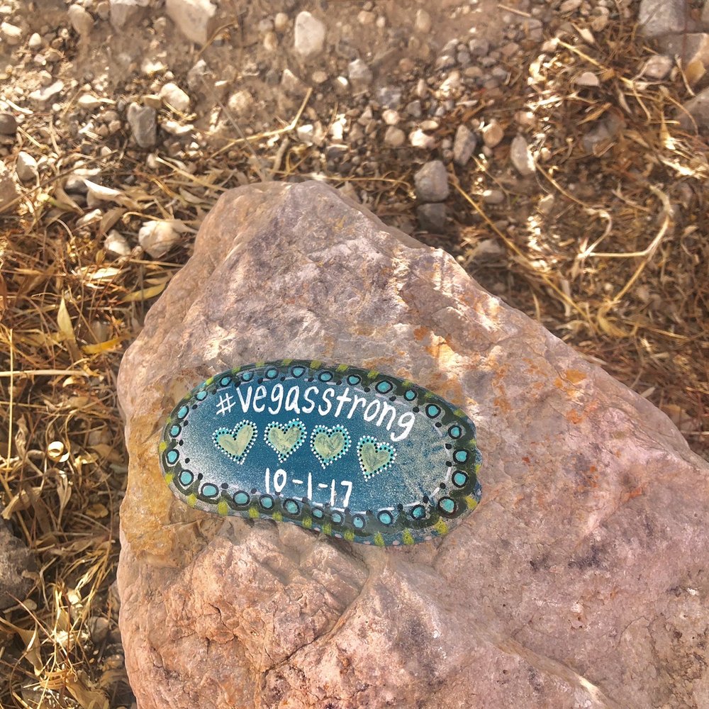

For starters, make sure you bring hiking boots! There are plenty of different routes you can take either on the bottom next to the mountain or on the mountain itself. The trails are very very rocky on the bottom. Very awful to be walking on long distance. Took the mountain trail and did about an hour and made it about 2.5 miles with breaks. The whole trail around the mountain is probably around 5ish miles. They do have restrooms, hand washing staton, doggie bags, and an equestrian center. There is graffiti all around and there was a few homeless people roaming around. Not the safest trail I've been on. Definitely wouldn't do it alone. I did love how it was challenging and then would level out for a quick break. Will come back to do the whole trail next time.
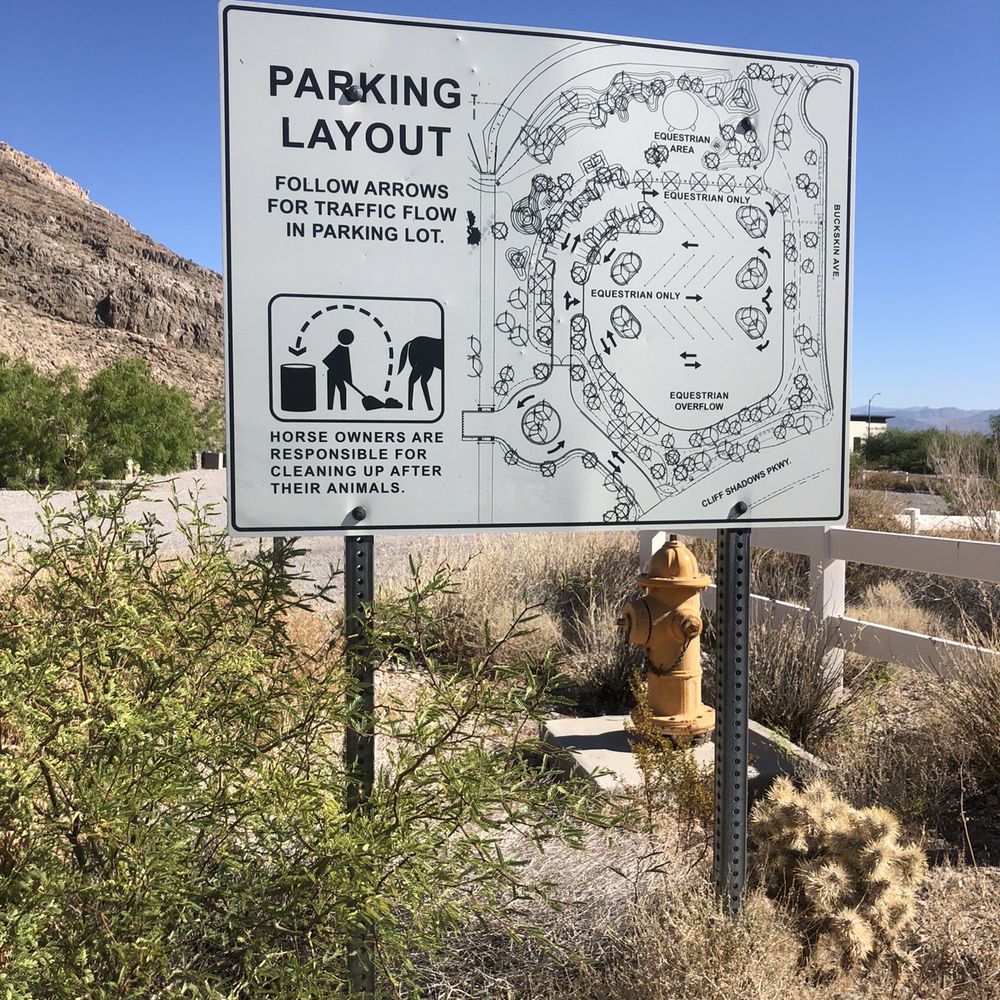

Very nice trail and there's a parking lot and directions at the beginning. However it can get boring as it's the same path and view for a while above the homes of summerlin. But not very difficult but quite the workout still. I went early but it was still too hot, I think spring and fall are perfect here.


Thanks to fellow Yelper Renee N., we just learned about this trail that has probably been around for a while. My husband and I were able to complete a lovely 4.2 mile-ish hike this morning, surrounded by great views of the surrounding mountains and communities of Reverence and Providence, plus the Strip. Apparently used often by mountain bikers as well as horse riders, we saw numerous trails that you could choose from to extend your exploration. We stuck to the main trail that basically loops around the large mountain you see off of Cheyenne and the 215. The trailhead offers clean restrooms, which is a bonus. If you head out for a hike, be sure to start early if you want to beat the current heat; there is no shade at all on this trail.


Hiking at Buckskin Cliff Shadows took us 4.99 miles. There are severals ways to hike this trail. The Trailhead is located west of the 215 Beltway and west of Cliff Shadows Parkway at Cheyenne Avenue. It is lightly trafficked out and back trail that has scenic views and is easy/moderate in my opinion. The trail is primarily used for hiking, walking, horses, and mountain biking. This hike has lot of loose gravel. Trekking poles would be helpful. It is accessible year-round, although summer months will be very hot due to no shade. I have seen people with dogs use this trail but must be kept on leash. As always, take plenty of water, wear sunscreen, and leave no trace. Overall, a quiet nice park with trails and especially after sunset on top of the hill, it has a beautiful view over Las Vegas. Go out and stretch your muscles!


2 years ago
Desert hike in the Fall makes for a good Sat! Not crowded but saw hikers, bikers and rock climbers. Good trails & a wash behind the Reverance neighborhood that was a bit rocky to walk on. Get out and walk! read more


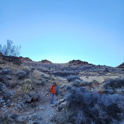
I found this trail last year on a quick stop to this park. I then forgot about it till Norm K reminded me. With Covid19 on the prowl, hubby and I got up before sunrise and headed out to hike. When we arrived, the only cars there were the police. The park technically opens at 7am but I asked the officer if it was okay to be there and he flagged us in. The trail is a 4.5 mile loop according to my watch and goes both directions. We opted to go right. Initially, you are hiking just above homes off of the 215 and also above a new park in the area. As you continue to hike, the trail turns more remote. The morning was just perfect. It was warm enough that we both only had to wear light jackets. Lots of wild flowers blooming. The trail curves to the left and there are a few markers to let you know you are on the trail. This trail also allows mountain bikers so I believe the markers are set up for them. The trail is primarily dirt, loose rocks and some solid granite here and there to hike up and over. Once you get around to the back side of the mountain, the view changes. This is yet another picturesque and different view of Redrock Canyon. There is even a slight glimpse of Turtlehead Peak. You will see more trails that extend further back into the mountains which allows you to add more mileage to your hike. We plan to come back and go deeper. For this hike, we stayed on the trail. This trail features two levels of trail in some areas. We always opted to go up higher for better views and a better workout. As you come around the last bend, the new Summerlin neighborhood of Reverence comes into view and before you know it, you are done. This was definitely a fun trail to complete when time is limited or one is just looking for a little time with Mother Nature. As always, please leave no trace and this includes your dogs poop too. Enjoy! read more




Four of us went here to do some exploring for the Friends of Red Rock Canyon Cultural Resources Team. From the large parking lot, we went around the flood control basin and headed up the wash. There were several shelters we needed to GPS and measure, and we were looking for some Indian roasting pits. Heading toward what is the northernmost part of Summerlin, we found one of the large shelters. From there, we found what could have been the roasting pits but they had been damaged by runoff when we have heavy downpours. We then got on one of the mountain bike trails--Toque. This trail is a connector to other mountain bike trails that are hidden from the 215 and Cliff Shadows Parkway. The trail goes around the base of the ridge and it's an easy, single dirt track trail used my mountain bikers, hikers, and horseback riders. There are a lot of cacti and other desert plants along the trail and growing out of the limestone ridge. The view of the Strip from here is a delight. The park has restrooms, lots of parking spaces, a corral for the horse people, and several tie ups for horses. It is another gem of the parks that have been built by the City of Las Vegas. It's amazing how quickly you can be from everyday life to wilderness. Enjoy! read more




5 years ago
For starters, make sure you bring hiking boots! There are plenty of different routes you can take either on the bottom next to the mountain or on the mountain itself. The trails are very very rocky on the bottom. Very awful to be walking on long distance. Took the mountain trail and did about an hour and made it about 2.5 miles with breaks. The whole trail around the mountain is probably around 5ish miles. They do have restrooms, hand washing staton, doggie bags, and an equestrian center. There is graffiti all around and there was a few homeless people roaming around. Not the safest trail I've been on. Definitely wouldn't do it alone. I did love how it was challenging and then would level out for a quick break. Will come back to do the whole trail next time. read more


Very nice trail and there's a parking lot and directions at the beginning. However it can get boring as it's the same path and view for a while above the homes of summerlin. But not very difficult but quite the workout still. I went early but it was still too hot, I think spring and fall are perfect here. read more


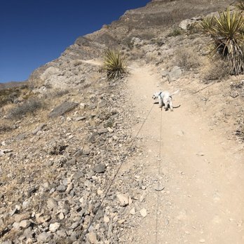


Thanks to fellow Yelper Renee N., we just learned about this trail that has probably been around for a while. My husband and I were able to complete a lovely 4.2 mile-ish hike this morning, surrounded by great views of the surrounding mountains and communities of Reverence and Providence, plus the Strip. Apparently used often by mountain bikers as well as horse riders, we saw numerous trails that you could choose from to extend your exploration. We stuck to the main trail that basically loops around the large mountain you see off of Cheyenne and the 215. The trailhead offers clean restrooms, which is a bonus. If you head out for a hike, be sure to start early if you want to beat the current heat; there is no shade at all on this trail. read more


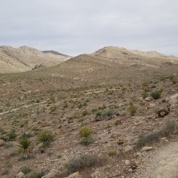


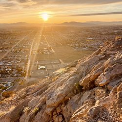
Hiking at Buckskin Cliff Shadows took us 4.99 miles. There are severals ways to hike this trail. The Trailhead is located west of the 215 Beltway and west of Cliff Shadows Parkway at Cheyenne Avenue. It is lightly trafficked out and back trail that has scenic views and is easy/moderate in my opinion. The trail is primarily used for hiking, walking, horses, and mountain biking. This hike has lot of loose gravel. Trekking poles would be helpful. It is accessible year-round, although summer months will be very hot due to no shade. I have seen people with dogs use this trail but must be kept on leash. As always, take plenty of water, wear sunscreen, and leave no trace. Overall, a quiet nice park with trails and especially after sunset on top of the hill, it has a beautiful view over Las Vegas. Go out and stretch your muscles! read more


11 years ago
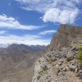
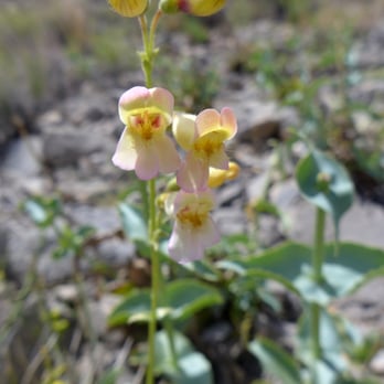
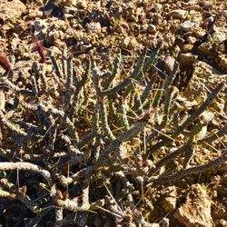
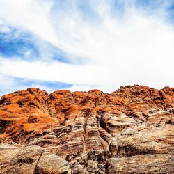
I was pleasantly surprised to find a network of fairly well maintained technical trails and limestone ridge scrambles super close to my house. What looks like a pile of choss from the highway magically transforms into caves and cliffbands covered with fossils, wildflowers and barrel cacti as you get closer. There's a ~5-6 mile rolling trail that circumnavigates the ridge closest to Cliff Shadows Parkway (and links up to the Gilmore Cliff Shadows trailhead) with lesser used trails to the summit. There's also a second unnamed summit to the west if you're feeling ambitious, plus more single and doubletrack heading toward the La Madre mountains. trailhead amenities: bathrooms, trailer friendly parking for the equestrian set read more




More info about Buckskin Cliff Shadows Trailhead
Las Vegas, NV 89129
Northwest
Directions
Hours
Outdoor Amenities
Ask the Community - Buckskin Cliff Shadows Trailhead
You might also consider



















Buckskin Cliff Shadows Trailhead - hiking - Updated May 2026
Best of Las Vegas
People found Buckskin Cliff Shadows Trailhead by searching for…
Lookout Points in Las Vegas, NV
Natural Hot Springs in Las Vegas, NV
Hiking Trails in Las Vegas, NV
Walking Trails in Las Vegas, NV
Dog Friendly Trails in Las Vegas, NV
Hiking Groups in Las Vegas, NV
Off Road Trails in Las Vegas, NV
Parks for Kids in Las Vegas, NV
Hikes With Dogs in Las Vegas, NV
Running Trails in Las Vegas, NV
Off Leash Dog Hiking Trails in Las Vegas, NV
Trending Searches in Las Vegas, NV
Boat Rental near Buckskin Cliff Shadows Trailhead
Botanical Gardens near Buckskin Cliff Shadows Trailhead
Bounce House Rentals near Buckskin Cliff Shadows Trailhead
Campgrounds near Buckskin Cliff Shadows Trailhead
Cliff Jumping near Buckskin Cliff Shadows Trailhead
Dog Friendly Things To Do near Buckskin Cliff Shadows Trailhead
Dog Friendly Trails near Buckskin Cliff Shadows Trailhead
Flower Fields near Buckskin Cliff Shadows Trailhead
Flower Shop near Buckskin Cliff Shadows Trailhead
Free Picnic Areas near Buckskin Cliff Shadows Trailhead
Hair near Buckskin Cliff Shadows Trailhead
Hiking near Buckskin Cliff Shadows Trailhead
Lakes & Ponds near Buckskin Cliff Shadows Trailhead
Lookout Points near Buckskin Cliff Shadows Trailhead
Movie Theatre near Buckskin Cliff Shadows Trailhead
Nurseries & Gardening near Buckskin Cliff Shadows Trailhead
Outdoor Activities near Buckskin Cliff Shadows Trailhead
Outdoor Furniture Stores near Buckskin Cliff Shadows Trailhead
Party Equipment Rentals near Buckskin Cliff Shadows Trailhead
Pedicure near Buckskin Cliff Shadows Trailhead
Pick Your Own Farms near Buckskin Cliff Shadows Trailhead
Picnic Areas near Buckskin Cliff Shadows Trailhead
Places To Walk Around near Buckskin Cliff Shadows Trailhead
Rainy Day Activities near Buckskin Cliff Shadows Trailhead
Rock Quarry near Buckskin Cliff Shadows Trailhead
Running Trails near Buckskin Cliff Shadows Trailhead
Scenic Drive near Buckskin Cliff Shadows Trailhead
Scenic Night View near Buckskin Cliff Shadows Trailhead
Secluded Spots near Buckskin Cliff Shadows Trailhead
Secret Spots near Buckskin Cliff Shadows Trailhead
Star Gazing near Buckskin Cliff Shadows Trailhead
Strawberry Picking near Buckskin Cliff Shadows Trailhead
Sunrise View near Buckskin Cliff Shadows Trailhead
Swimming Holes near Buckskin Cliff Shadows Trailhead
Things To Do On A Rainy Day near Buckskin Cliff Shadows Trailhead
Walking Trails near Buckskin Cliff Shadows Trailhead
Browse Nearby
BEST of Las Vegas, Nevada Things to Do near Buckskin Cliff Shadows Trailhead
BEST of Las Vegas, Nevada Parks near Buckskin Cliff Shadows Trailhead
BEST of Las Vegas, Nevada Coffee near Buckskin Cliff Shadows Trailhead
BEST of Las Vegas, Nevada Restaurants near Buckskin Cliff Shadows Trailhead
BEST of Las Vegas, Nevada Lakes near Buckskin Cliff Shadows Trailhead
BEST of Las Vegas, Nevada Breakfast near Buckskin Cliff Shadows Trailhead
BEST of Las Vegas, Nevada Hotels near Buckskin Cliff Shadows Trailhead
Browse Brands
Related Searches in Las Vegas, NV
Affordable Bike Repair Services in Las Vegas, Nevada
Affordable Bike Tune Up Services in Las Vegas, Nevada
Affordable Kayak Rental Services in Las Vegas, Nevada
Affordable Mobile Bike Repair in Las Vegas, Nevada
Affordable Road Bike Rental in Las Vegas, Nevada
Best Electric Bike Rental Services in Las Vegas, Nevada
Best Fishing Locations and Guides in Las Vegas, Nevada
Best Nature Trails for Hiking in Las Vegas, Nevada
Best Places for Horseback Riding in Las Vegas, Nevada
Best Used Bikes for Sale Near Las Vegas, Nevada
Check Out Off Road Trails in Las Vegas, Nevada
Discover Dog Friendly Trails to Explore in Las Vegas, Nevada
Discover Popular Bike Tours in Las Vegas, Nevada
Discover Scenic Bike Paths in Las Vegas, Nevada
Discover Scenic Mountain Bike Trails Near Las Vegas, Nevada
Discover Top Nature Parks to Visit in Las Vegas, Nevada
Discover Walking Parks in Las Vegas, Nevada Near You
Discover a Hiking Trail in Las Vegas, Nevada
Discover the Best Night Hike Trails in Las Vegas, Nevada
Discover the Best Running Track in Las Vegas, Nevada
Dog-Friendly Hikes With Dogs in Las Vegas, Nevada
Enjoy Biking Adventures Around Las Vegas, Nevada
Enjoy Camping Adventures Around Las Vegas, Nevada
Enjoy Exciting Mountain Biking Adventures in Las Vegas, Nevada
Enjoy Hiking Adventures in Las Vegas, Nevada
Enjoy Kayaking Adventures in Las Vegas, Nevada
Enjoy Tent Camping Spots Around Las Vegas, Nevada
Enjoy a Beautiful Waterfall Hike in Las Vegas, Nevada
Enjoy the Best Tubing Experiences in Las Vegas, Nevada
Enjoy the Best Walking Path in Las Vegas, Nevada
Enjoy the Best Walking Trails in Las Vegas, Nevada
Exciting Cliff Jumping Spots in Las Vegas, Nevada
Explore BMX Bike Shops Near Las Vegas, Nevada
Explore Beautiful Parks and Green Spaces in Las Vegas, Nevada
Explore Bike Rentals Throughout Las Vegas, Nevada
Explore Easy Hikes Perfect for All in Las Vegas, Nevada
Explore Electric Bikes Available in Las Vegas, Nevada
Explore Fun Activities to Do in Las Vegas, Nevada
Explore Popular Campgrounds Near Las Vegas, Nevada
Explore Popular Scenic Overlook Points in Las Vegas, Nevada
Explore Scenic Lakes to Visit in Las Vegas, Nevada
Explore Secret Spots Worth Visiting in Las Vegas, Nevada
Explore the Best Beach Spots in Las Vegas, Nevada
Explore the Best Swimming Holes Around Las Vegas, Nevada
Explore the Best Trail Options in Las Vegas, Nevada
Family Friendly Hiking With Kids in Las Vegas, Nevada
Find Beautiful Views in Las Vegas, Nevada
Find Cheap Bike Rentals Around Las Vegas, Nevada
Browse Articles
People who viewed Buckskin Cliff Shadows Trailhead also viewed

Lone Mountain
82 reviews
Northwest

Summerlin Peak
4 reviews

Peccole Ranch Walking Trail
57 reviews
South Summerlin, Westside

Stanley B Springs
3 reviews

Bonanza Trail
4 reviews

The Slots - Lower Kyle Canyon
4 reviews

Cottonwood Canyon Park
46 reviews
Summerlin

Cathedral Rock
71 reviews

Cheyenne Peak
1 review

Ice Age Fossils State Park
69 reviews