Las Vegas Overlook Loop Photos


You might also consider
More like Las Vegas Overlook Loop
Recommended Reviews - Las Vegas Overlook Loop
Start your review...

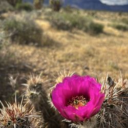
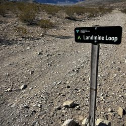
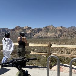
If you're looking for a hike in the Red Rock area with excellent views and want to get lots of steps on your Garmin, Whoop, or FitBit, this one is it. Plus, you don't need a reservation! Park at the Cowboy Trails horseback rides parking lot off of SR 159 and head towards the horses. Just follow that road until you see a trail to your left and follow it; using the AllTrails app is recommended as there are various little trails there. It's about 2.7 miles to the overlook with gradual elevation gain along the way. You'll know you've arrived when you are greeted by a fantastic view of the Strip and Vegas Valley in front of you. From here, you can turn around and go back the way you came or continue on the trail heading west where you'll eventually face Red Rock. The trail will loop north until you start heading down back down towards the horses. Careful on the descent as there is loose gravel and rocks to navigate. If you do a true loop and not the out and back, it's very easy to get almost 6.5 miles total when you start tracking your mileage from the parking lot. This hike will take the better part of 3-3.5 hours depending on your pace and how much time you want to spend at the overlook enjoying the view. Bring plenty of hydration and snacks to enjoy, but be sure to pick up after yourselves. Happy hiking! #LeaveNoTrace read more


More info about Las Vegas Overlook Loop
NV-159 & Fossil Ridge Rd
NV, NV 89161
Directions
Hours
Outdoor Amenities