Bowman Resevoir Photos


You might also consider
More like Bowman Resevoir
Recommended Reviews - Bowman Resevoir
Start your review...

10 months ago


5 years ago
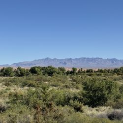
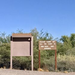
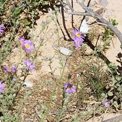
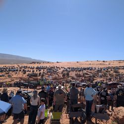
It is tiny reservoir without any public facility around it. It has one entrance and it is not marked. All and all, it is a pretty place to visit once a year or so. If you are close, stop by for a few minutes! read more

5 years ago
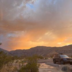
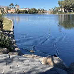
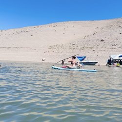
In the spring when the reservoir is full it's a beautiful place to go at sunset. There's some beachy area on the southeast side and some fun trails to run on the north west side. read more

5 years ago
I love going to the Bowman Reservoir. It is a welcome escape from the intense heat in the summer. It's so beautiful at sunset too.. There are lots of trees and soft sand.. I do wish the locals would keep it cleaner or that the city would put dumpsters so that people would be encouraged to use them. I went over and picked up 2 bags of garbage the other day. Sad to see that type of disrespect to such a pretty place. read more
More info about Bowman Resevoir
Logandale, NV 89021
Directions
Hours
Outdoor Amenities
You might also consider


Why does Yelp recommend reviews?
Bowman Resevoir - lakes - Updated May 2026
Best of Logandale
People found Bowman Resevoir by searching for…
Swimming Lakes in Logandale, Nevada
Things to Do in Logandale, Nevada
Swimming Holes in Logandale, Nevada
Places to Swim in Logandale, Nevada
Watch Sunset in Logandale, Nevada
Fishing Ponds in Logandale, Nevada
Lakes & Ponds in Logandale, Nevada
Parks With Lakes in Logandale, Nevada
Scenic Views in Logandale, Nevada
Water Ski in Logandale, Nevada
Running Trails in Logandale, Nevada
Parks for Kids in Logandale, Nevada
Feed Ducks in Logandale, Nevada
Hiking Trails in Logandale, Nevada
State Parks in Logandale, Nevada
Tourist Attractions in Logandale, Nevada
Picnic Areas in Logandale, Nevada
Family Friendly in Logandale, Nevada