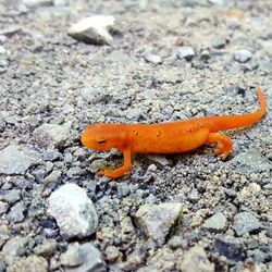
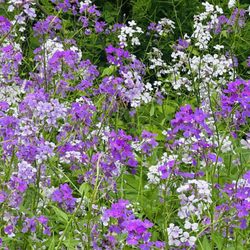
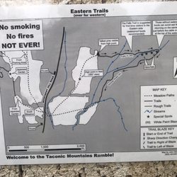
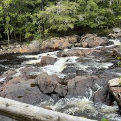
Bald Mountain Trail Photos


More like Bald Mountain Trail
Recommended Reviews - Bald Mountain Trail
Start your review...

8 years ago
Very poorly marked trail, went out for an hour-2 hour hike and ended up doing a 7 mile hike because it was so confusing! read more


More info about Bald Mountain Trail
45 Notch Rd
Mendon, VT 05701
Directions
Hours
Indoor Amenities
Outdoor Amenities

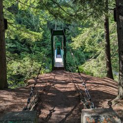

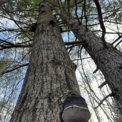


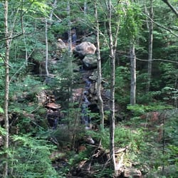


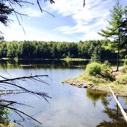


Bald Mountain Trail - hiking - Updated July 2026
Best of Mendon
People found Bald Mountain Trail by searching for…
Things to Do in Mendon, Vermont
Hiking Trails in Mendon, Vermont
Dog Friendly Hiking Trails in Mendon, Vermont
Lookout Points in Mendon, Vermont
Hikes With Dogs in Mendon, Vermont
Walking Trails in Mendon, Vermont
Dog Friendly in Mendon, Vermont
Beautiful Views in Mendon, Vermont
View Points in Mendon, Vermont
Swimming Holes in Mendon, Vermont
Scenic Views in Mendon, Vermont
Running Trails in Mendon, Vermont
Off Leash Dog Hikes in Mendon, Vermont
Scenic Overlook in Mendon, Vermont
Dog Friendly Things to Do in Mendon, Vermont
Fall Foliage in Mendon, Vermont
Attractions in Mendon, Vermont
Fun Things to Do With Kids in Mendon, Vermont