Quarry Road Trail Photos


You might also consider


More like Quarry Road Trail
Recommended Reviews - Quarry Road Trail
Start your review...


Reviews With Photos


Typically like to do longer hikes, so we followed this out to the picnic area and then ventured off to the climbing area and detoured farther up the hill and came back through a parallel trail that was started as a road and narrowed down as it crossed a creek. Both sections were nice with great views.


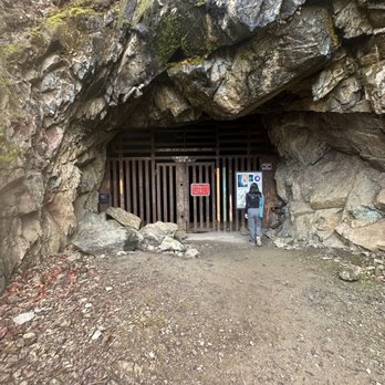
Hawver Cave is the site of an old limestone mine and quarry along the American River. The site is now a part of Auburn Ravine State Recreation Area, and makes a popular easy hiking destination along the Quarry Trail. While the hike to the follows the former Mountain Quarries Railroad grade that stays generally flat and wide with little elevation change over its course, paralleling the American River Middle Fork below, the quarry mill site makes a natural destination with shaded picnic benches standing around the cement ruins. The mill ruins are several cement towers standing alongside the trail. Right before the trail comes to the mill, an incline trail heads off toward the right, climbing the hill. This path will take you to the top of the mill, but slightly further up the trail is the entrance to the Hawver Cave. This cave was mined for its limestone, with some of the structures built to transport the limestone to the mill still standing outside the cave entrance. Prehistoric animal remains have been found inside the cave, and some still remain. While the cave has been accessed by spelunkers and mischievous teens over the decades, the entrance remains gated shut today. Though heading up to it will allow hikers to feel the cold air wafting from inside and see the path disappear into the recesses of the cave. From this point, it is possible to explore the area more, finding the stone quarry site, or further following the Quarry Trail as it heads further into the State Recreation Area. Otherwise, hikers can turn around at this point and head back toward the trailhead. The trail begins at a parking area off of Highway 49 near the confluence of the Middle and North forks of the American River. The day use fee for parking and entering Auburn Ravine State Recreation Area is $10, payable at a self-pay station at the parking lot. Day use areas are open daily from 7:00 AM until sunset. There are outhouses and trash at the trailhead, however there is no water available at the trailhead or along the hike. The parking lot is small and will often fill up on weekends. Easy hike with beautiful view of Auburn river and beautiful Rock formations, it took us 15-20mins to hike the top. Started easy then about 5mins climb up. Perfect hike for family, kids and Pets since it's easy.


This is your sign to head to Quarry Trail! After this place went viral on TikTok for being the "Switzerland of Sacramento", there have been a ton of people checking this place out and I hopped on the trend. If you're seeing the huge rocks and thinking this was a hard hike, it's not. Everyone is completely capable of doing it. I'd say it's more of a long walk... with a bit of elevation at times. Dog friendly (please pick up after your pets), and so many porta potties along this specific trail. I'd come back to do a trail run here! Beautiful view. We caught the sun before it started setting below the mountains/boulders??. read more


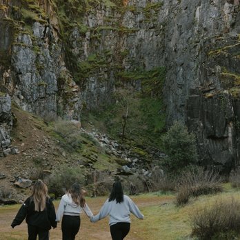

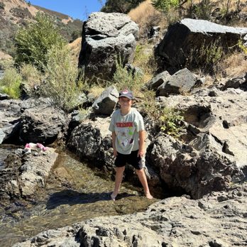
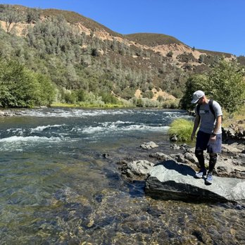
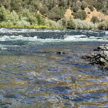
What a cool trail! Located next to the American River this Trail has plenty of trails to walk and things to see. While walking on the hiking trail we spotted a big black bear and deer. About a mile up the trail they have an area for rock climbing. Also if you're a little adventurous you can climb down the side of the trail and dip your feet into the freezing water "how cold is the water? Well they have signs posted not to jump in as the shock will kill you!" YEAH, I put my feet and and let me tell you... the water is ice cold! They have a cool sealed off cave that has dinosaur bones in it and cliffs that looks like shale rock that you can climb near. The only negative is that you need to get there early in the morning as the parking lot is tiny otherwise you might have to walk about 1/2 mile away like we did and walk on the side of the street as cars wiz on by. next to the American River this trail has plenty of trails to walk and things to see. While walking on the hiking trail we spotted a big black bear and deer. About a mile up the trail they have an area for rock climbing. Also if you're a little adventurous you can climb down the side of the trail and dip your feet into the freezing water "how cold is the water? Well they have signs posted not to jump in as the shock will kill you!" YEAH, I put my feet and and let me tell you... the water is ice cold! They have a cool sealed off cave that has dinosaur bones in it and cliffs that looks like shale rock that you can climb near. The only negative is that you need to get there early in the morning as the parking lot is tiny otherwise you might have to walk about 1/2 mile away like we did and walk on the side of the street as cars wiz on by. read more





11 months ago
Bring your lucky parking charm! Bring 2 actually. Maybe even 3. The only tough thing about this hike is the parking. Small lot, street parking, limited spaces, and just lots of luck. Or get there early. Either works. We arrived there late morning and simply got lucky with someone leaving. Otherwise, relax and take it easy because it'll be somewhat time before a parking spot opens up along with all the vehicles waiting. First come, first serve basis! We adored this hike! Went with my family, including our 2 and 3 year girls, and this hike was a flat and simple as it gets. Gorgeous scenery, beautiful skies, clear river with nature sounds all around, and eagles soaring high above to top the icing on the cake. At the end, we brought some sandwiches and snacks for a fun little picnic. Fun experience for the kids, family got to leave the house, and easy hike for all ages! Now I don't know how serious they are with checking for paid parking, but we weren't too familiar so we played it safe and followed directions to pay for parking using a tiny envelope that's stationed between the small parking lot and hiking entrance. Not even sure if we filled it out right, but we didn't end up with a ticket! Great, simple hike for families and kids! read more




4 months ago
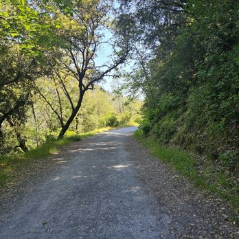
Typically like to do longer hikes, so we followed this out to the picnic area and then ventured off to the climbing area and detoured farther up the hill and came back through a parallel trail that was started as a road and narrowed down as it crossed a creek. Both sections were nice with great views. read more


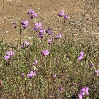
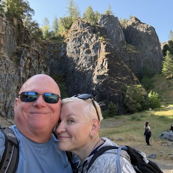


Hawver Cave is the site of an old limestone mine and quarry along the American River. The site is now a part of Auburn Ravine State Recreation Area, and makes a popular easy hiking destination along the Quarry Trail. While the hike to the follows the former Mountain Quarries Railroad grade that stays generally flat and wide with little elevation change over its course, paralleling the American River Middle Fork below, the quarry mill site makes a natural destination with shaded picnic benches standing around the cement ruins. The mill ruins are several cement towers standing alongside the trail. Right before the trail comes to the mill, an incline trail heads off toward the right, climbing the hill. This path will take you to the top of the mill, but slightly further up the trail is the entrance to the Hawver Cave. This cave was mined for its limestone, with some of the structures built to transport the limestone to the mill still standing outside the cave entrance. Prehistoric animal remains have been found inside the cave, and some still remain. While the cave has been accessed by spelunkers and mischievous teens over the decades, the entrance remains gated shut today. Though heading up to it will allow hikers to feel the cold air wafting from inside and see the path disappear into the recesses of the cave. From this point, it is possible to explore the area more, finding the stone quarry site, or further following the Quarry Trail as it heads further into the State Recreation Area. Otherwise, hikers can turn around at this point and head back toward the trailhead. The trail begins at a parking area off of Highway 49 near the confluence of the Middle and North forks of the American River. The day use fee for parking and entering Auburn Ravine State Recreation Area is $10, payable at a self-pay station at the parking lot. Day use areas are open daily from 7:00 AM until sunset. There are outhouses and trash at the trailhead, however there is no water available at the trailhead or along the hike. The parking lot is small and will often fill up on weekends. Easy hike with beautiful view of Auburn river and beautiful Rock formations, it took us 15-20mins to hike the top. Started easy then about 5mins climb up. Perfect hike for family, kids and Pets since it's easy. read more







1 year ago

3 years ago
Quarry Trail is about 11 mile hike , starting at the American River off Highway 49, just five minutes outside of Auburn. There are six hiking trails, depending on how many miles you are up to hike from here. There is a fork on the trail about 1.5 miles in from the trailhead. There is also a climbing area but I did not explore it this time. Quarry Trail is a wide, well-traveled and well maintained trail that winds its way through the canyon alongside the American River. The scenery of the river and canyon are spectacular. The best part is when you can walk down to the American River water and soak your feet. Along the way, there are several concrete structures which were part of the old mining operation. There's even an old mine right off the trail, but you will have to climb to reach it. Quarry Trail is cool for everyone. It's dog, children, and horse friendly. There are a few picnic tables and benches. Parking for the Quarry Trail is available. You can't miss the row of backed-in parking jobs alongside Highway 49 after turning right to cross the river - this is free parking. The $10 parking opposite of the free parking is where the Quarry Road Trail starts. So no matter where you park, head that way to start your hike. Bring your water, hat, snacks and wear sunscreen and sunglasses. Please keep this place stay beautiful by all garbage out of the nature. Thank you. Enjoy! read more


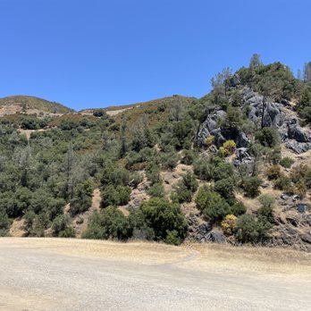


More info about Quarry Road Trail
150 CA-193
Auburn, CA 95603
Directions
Hours
Outdoor Amenities
Ask the Community - Quarry Road Trail
You might also consider


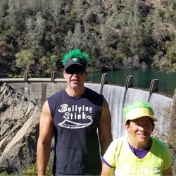

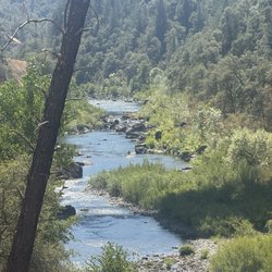


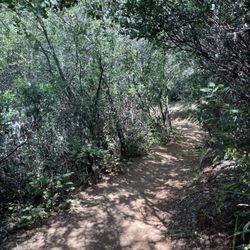





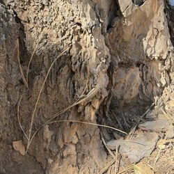

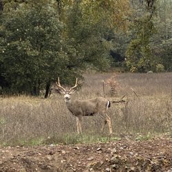
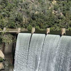
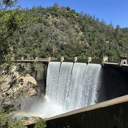


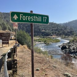
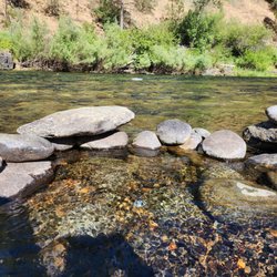



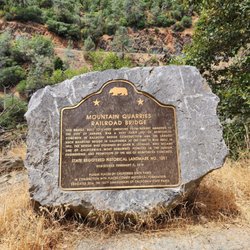


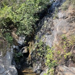


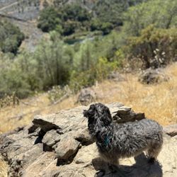
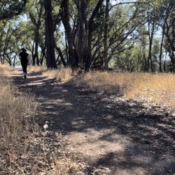



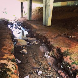
Quarry Road Trail - hiking - Updated October 2026
Best of Auburn
People found Quarry Road Trail by searching for…
Trending Searches in Auburn, CA
Apple Orchards near Quarry Road Trail
Apple Picking near Quarry Road Trail
Archery near Quarry Road Trail
Barbershop near Quarry Road Trail
Beautiful Views near Quarry Road Trail
Bird Sanctuary near Quarry Road Trail
Blow Dry Bar near Quarry Road Trail
Corn Maze near Quarry Road Trail
Dog Friendly Trails near Quarry Road Trail
Eyelash Extensions near Quarry Road Trail
Fall Foliage near Quarry Road Trail
Halloween Events near Quarry Road Trail
Haunted Houses near Quarry Road Trail
Hiking Trails near Quarry Road Trail
Kids Birthday Party near Quarry Road Trail
Lookout Points near Quarry Road Trail
Makeup Artists near Quarry Road Trail
Off Road Trails near Quarry Road Trail
Photo Spots near Quarry Road Trail
Places To Take Pictures near Quarry Road Trail
Places To Walk Around near Quarry Road Trail
Private Schools near Quarry Road Trail
Public Shower near Quarry Road Trail
Pumpkin Patches near Quarry Road Trail
Rock Quarry near Quarry Road Trail
Scenic Night View near Quarry Road Trail
Browse Articles
Browse Nearby
BEST of Auburn, California Coffee near Quarry Road Trail
BEST of Auburn, California Restaurants near Quarry Road Trail
BEST of Auburn, California Things to Do near Quarry Road Trail
BEST of Auburn, California Breakfast near Quarry Road Trail
BEST of Auburn, California Walking Trails near Quarry Road Trail
BEST of Auburn, California Parks near Quarry Road Trail
BEST of Auburn, California Campgrounds near Quarry Road Trail
BEST of Auburn, California Snow Tubing near Quarry Road Trail
Browse Brands
Related Searches in Auburn, CA
Affordable Kayak Rental Services in Auburn, California
Best Dog Hiking Trails Around Auburn, California
Best Fishing Locations and Guides in Auburn, California
Best Nature Trails for Hiking in Auburn, California
Best Places for Horseback Riding in Auburn, California
Best Sightseeing Experiences Available in Auburn, California
Check Out Off Road Trails in Auburn, California
Discover Dog Friendly Trails to Explore in Auburn, California
Discover Easy Hiking Trails Near Auburn, California
Discover Kid Friendly Hiking Trails in Auburn, California
Discover Popular Bike Trails in Auburn, California
Discover Scenic Mountain Bike Trails Near Auburn, California
Discover a Hiking Trail in Auburn, California
Discover the Best Night Hike Trails in Auburn, California
Dog-Friendly Hikes With Dogs in Auburn, California
Enjoy Camping Adventures Around Auburn, California
Enjoy Kayaking Adventures in Auburn, California
Enjoy Off Leash Dog Hikes in Auburn, California
Enjoy Scenic Places to Walk in Auburn, California
Enjoy a Beautiful Waterfall Hike in Auburn, California
Enjoy the Best Walking Path in Auburn, California
Enjoy the Best Walking Trails in Auburn, California
Explore Beautiful Parks and Green Spaces in Auburn, California
Explore Easy Hikes Perfect for All in Auburn, California
Explore Popular Campgrounds Near Auburn, California
Explore Popular Dog Walking Trails in Auburn, California
Explore Top Dog Parks in Auburn, California Near You
Explore Top Water Parks in Auburn, California Today
Explore the Best Beach Spots in Auburn, California
Family Friendly Hiking With Kids in Auburn, California
Find Popular Ziplining Spots Around Auburn, California
Find the Best Parks for Picnics in Auburn, California
Find the Best Playgrounds to Visit in Auburn, California
Hiking Trails With Waterfalls in Auburn, California
Off Leash Dog Hiking Trails in Auburn, California
Popular Outdoor Activities to Try in Auburn, California
Popular Picnic Spots to Visit in Auburn, California
Popular Waterfall Hiking Trails in Auburn, California
Safe River Swimming Areas in Auburn, California
Safe and Fun Parks for Kids in Auburn, California
Top Hiking Trails to Explore in Auburn, California
Top Playgrounds for Kids to Enjoy in Auburn, California
Top Running Trails to Explore in Auburn, California
Top Swimming Lakes to Enjoy in Auburn, California
Top Swimming Spots and Pools in Auburn, California
Top-Rated Camping Sites in Auburn, California
Visit Popular BBQ Park Locations in Auburn, California


