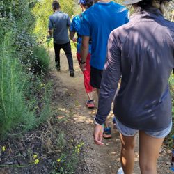
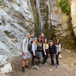
Idlehour Trail Camp Photos


You might also consider


More like Idlehour Trail Camp
Recommended Reviews - Idlehour Trail Camp
Start your review...



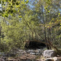
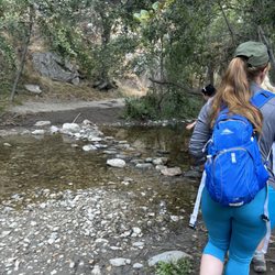
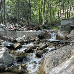
We started the hike at 8am It was perfect weather, we got in through the bridge up to Henninger Flat is around 3 miles then is another 3 miles up to Idlehour Camp Trail. It's so worth it to the beautiful creek and the sound of the water is so relaxing. Recommended to bring mosquito repellent and cover your legs or you will end up all scratched at idlehour trail. Enjoy the trails and please leave no trace. In total we did 12.1miles in 5 hours read more
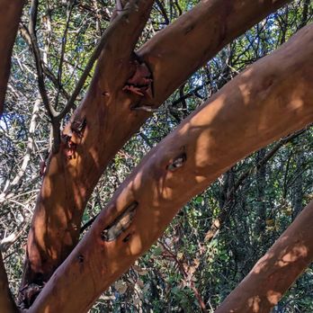


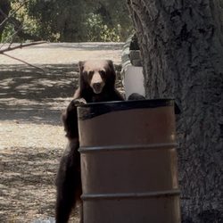
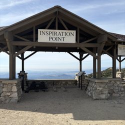
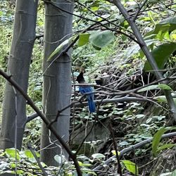
If you've ever seen those poor souls trapped or worse--injured-- on the Eaton a canyon waterfall, trying to comb up and over, know now and forever that there is a safer way to access upper Eaton Canyon. While the hike is approximately 13 miles round trip, the journey is worth the effort. Idlehour campground is nestled in a higher elevation section of Eaton Canyon, approximately 3 miles past Lower Henninger Flats. About 1 mile past the fire station at Henninger, look for a small wooden footbridge on the left of the trail and signs for Idlehour campground. This small trail off the toll road heads down into Eaton behind Henninger. While there is a lot of poison oak, the riparian flora and fauna are quite different than what one finds in lower Eaton near the white bridge. Bay trees, stinging nettle, willows, and abundant wildflowers in season color and perfume the landscape. There are a few primitive campsites here, with small wood burning stoves. Fire permits are required, and while you might get away with sleeping the night here, it's also best to make reservations. There are no restroom or trash facilities here, so plan on packing out what you pack in. Near the water, various insects, spiders, and other bugs like millipedes are abundant. California tree frogs, California newts (one of the most toxic creatures on earth!), and small fish can be found in the creek. Songbirds and raptors are occasionally seen. Large mammals like deer, coyotes, bobcats, raccoons, and bears are generally in the neighborhood, so store food safely away from camp... That old Bot Scout trick of hanging it from a branch at least 10 feet off the ground works! Idlehour can also be accessed from Inspiration Point via the Idlehour trail, which begins roughly where the Sam Merrill trail ends about 0.3 miles past Inspiration point via the Castle Canyon trail. All trails are marked with new wooden signs... Although finding your way back to Henninger via the Idlehour trail from Inspiration Point can be a little tricky. Head east from the Idlehour campground sign and start heading uphill. This is not a particularly difficult hike, but it's length makes it a moderate effort. Bring extra water, maybe a light snack, and plan for a few buggy spots, especially during the summer. The gnats can get thick. read more




11 years ago
This hike is 10.5 miles round trip with 2,500' elevation gain/loss. It does go through Henninger Flats and is about 2.5 miles further each way. This trail can be easily accessed via Eaton Canyon. However, if you prefer not to start at Eaton, there is free residential parking on Pinecrest Ave. Once you park, you walk toward Mt Wilson Toll Road until you see a large fenced area with gate. Go through the opening at the gate and walk down the hill and across the bridge. This will be the start up the dirt fireroad. There is minimal rock under foot. The trail is mostly uphill to Henninger, but it's not so grueling. Once you reach the peaceful campgrounds, there will be lots of trees and shade. Until that time, there is no overhead shade. There are restrooms available at the campgrounds. To reach Idlehour, continue on the wide dirt fireroad until you see a small, wooden bridge. You will then go left across it. This is the start of a single file trail in a wooded setting. There are few inclines, but most of the trail is flat or downhill to reach Idlehour Camp. It is a serene and peaceful setting with a stream in close proximity. Unfortunately, on the way back, it will be mostly uphill to reach the fireroad. read more


6 years ago

9 years ago
More info about Idlehour Trail Camp
2260 Pinecrest Dr
Altadena, CA 91001
Directions
Hours
Outdoor Amenities