Harper Dry Lake Marsh Photos

You might also consider
More like Harper Dry Lake Marsh
Recommended Reviews - Harper Dry Lake Marsh
Start your review...

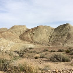
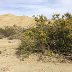
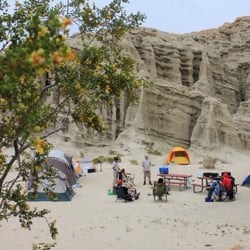
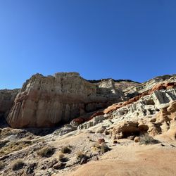
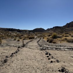
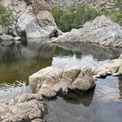
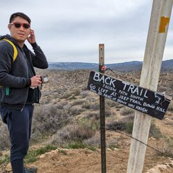
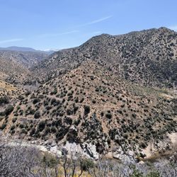
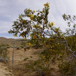
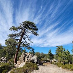
Make SURE your car is good to go because you don't want to break down on the way. The road is really bumpy and eventually turns into a dirt road which can be filled with mud when it rains. If you don't have four wheel drive, you might struggle to reach the final destination unless weather is ideal. That said, once you get here, the view is just amazing. You've never seen anything like this if you've never seen a dry lake before, even so though this one is particularly beautiful. The lake itself is small now, and not as many birds populate it as before, but it's still very beautiful and with natural growth around it that you just don't see in California. The hiking here is great, I can't say I walked the whole trail but I always stray. One note though for the adventurious yelpers out there! Be very careful around the lake itself! The ground is super soft, and it's wet underneith. At one point I took a step and my foot sunk all the way to my ankle, pulled it out and it's covered in what looked like tar! Was probablly basalt. Whatever the case, I could've ended up sunken all the way had I picked another spot, so step with caution when off the trail (or don't go off it!) This place is out of the way of everything, but that's also the point. It's a very nice place to relax with nature. read more
More info about Harper Dry Lake Marsh
Lockhart, CA 92347
Directions
Hours
Outdoor Amenities


Harper Dry Lake Marsh - hiking - Updated July 2026
Best of Lockhart
People found Harper Dry Lake Marsh by searching for…
Walking Trails in Lockhart, CA
Off Road Trails in Lockhart, CA
Running Trails in Lockhart, CA
Beautiful Views in Lockhart, CA
River Swimming in Lockhart, CA
Dog Friendly Things to Do in Lockhart, CA
Waterfalls and Swimming Holes in Lockhart, CA
Fun Things to Do at Night in Lockhart, CA
Natural Hot Springs in Lockhart, CA
Browse Brands
Browse Articles
People who viewed Harper Dry Lake Marsh also viewed
Rainbow Basin Natural Area
10 reviews
Camping-San Bernardino County Regional Parks
4 reviews
Calico Ghost Town
557 reviews
Barstow Centennial Park
5 reviews
Rockview Nature Park
5 reviews
Pioneer Park
3 reviews
Dana Park
2 reviews
Dumont Dunes
7 reviews
El Mirage Dry Lake - OHV Recreation Area
1 review
StarGazer Horse Archers
1 review