Dunraven Trailhead Photos


More like Dunraven Trailhead
Recommended Reviews - Dunraven Trailhead
Start your review...

4 years ago
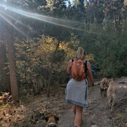
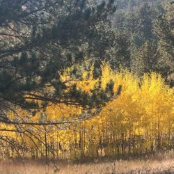
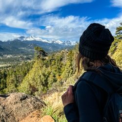
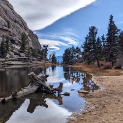
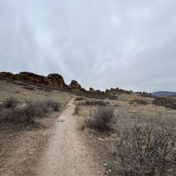
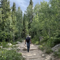
This is a 10.1 mile out and back trail near Glen Haven. It is considered a moderate route with 1889 feet of elevation gain. Dogs are able to use the trail but must be on leash. This trail goes near a river for at least the first 4 miles of the trail. I have not finished the trail. Though this one is absolutely lovely. There is a mix of trees and a burn area and the river. Moose and mountain lions are in the area so you will need to be on the lookout if you are choosing to hike here. This tends to be a quieter trail at least on the weekdays. There is a fairly good sized parking lot. There is a bathroom at the trail head. There are not however poop bags or trash cans. You will need to be prepared to pack out what you pack in. If you are bringing your pups be sure to pack along poop bags and also be ready to take them out with you. Along with any trash you may have brought with you. read more


More info about Dunraven Trailhead


Dunraven Trailhead - hiking - Updated July 2026
Best of Drake
People found Dunraven Trailhead by searching for…
Hiking Trails in Drake, Colorado
Scenic Overlook in Drake, Colorado
Lookout Points in Drake, Colorado
Things to Do in Drake, Colorado
Dog Friendly Trails in Drake, Colorado
View Points in Drake, Colorado
Kids Fishing in Drake, Colorado
Lakes & Ponds in Drake, Colorado
Sunset View in Drake, Colorado
Off Road Trails in Drake, Colorado
Picnic Areas in Drake, Colorado
Watch Sunset in Drake, Colorado
Scenic View in Drake, Colorado
Stroller Friendly Hikes in Drake, Colorado
Off Leash Dog Hikes in Drake, Colorado
Walking Trails in Drake, Colorado
Stair Climbing in Drake, Colorado
Gold Panning in Drake, Colorado
Beautiful Views in Drake, Colorado