Cross Island Trail Photos



More like Cross Island Trail
Recommended Reviews - Cross Island Trail
Start your review...



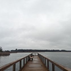
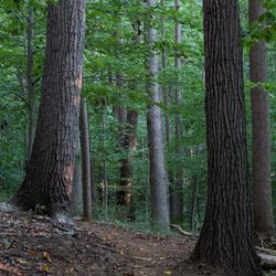
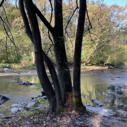
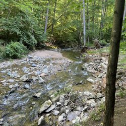
Several people from my retired women's group have started meeting each week to walk on the Cross Island trail. Most of us live in Annapolis but it is a really nice trail and worth hopping across the Bay Bridge. We have been meeting at the Macuum Creek parking lot off Piney Creek Rd. There is enough parking and nice public bathrooms so it is quite civilized. The first time, we walked west, back towards Stevensville & turned around at the high school, which was a couple of miles. This week, we walked the other way, so heading east. I think that was even prettier. There are some quiet sections and some places where you hear the traffic on Route 50. There are boardwalk and bridges over the creeks. The next time, I hope to take my bike. read more

So the parental units decided to have a little weekend fun and ended up biking on this trail...of course, all while looking stylish with their matching bikes and gear ;) They really enjoyed the trail, which was easy and safe to navigate, and they really loved the scenery! The park is a straightforward short drive from the bay bridge going east, with a few restaurants and parks nearby. There were a few other families that were biking and hiking along the trail as well (all while maintaining social distancing), who were very friendly and helpful. My parents told me to tell the yelp peeps that they highly recommend this trail! read more


6 years ago
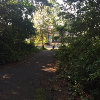
Bottom Line: A flat and scenic trail across Kent Island. This is a great trail located in Queen Anne's County on Kent Island. The trail is 6.5 miles long and transverses Kent Island from Terrapin Park on the west to Kent Narrows on the east. The trail is a mix of paved path and wooden bridges/boardwalks. There is a mix of shade and sun and some really nice scenery. There are multiple spots to park including Terrapin Park and in a large lot under US-50 by Kent Narrows. I suspect parking mid-trail at Kent Island HS is fair game when school isn't in session. This trail seems to be the most popular with casual bicycle riders, walkers and joggers. I have seen some serious cyclists on the trail but at 6.5 miles long I suspect this trail isn't super appealing for zippy road bikers. Speaking of bikes, there are numerous signs along the trail they telling cyclists to dismount at intersections. A lot of the intersections are small and quiet so I found that a bit odd. I honestly didn't see anyone dismount and who came blame them? Overall, this is a great trail for a little recreation. read more



7 years ago
I've been wanting to check this place out for a few months now and finally made it there. We parked at the nicely shaded Terrapin Nature Park and prepared for the bike ride. The trailhead had two maps which I found a little confusing but I had done my research of the trail ahead of time and figured out where to go. The trail forks to the Nature Park and to the Island trail. We arrived on a weekday so there was plenty of parking, but just after a holiday we found the porta potties absolutely disgusting. On the trail was nice. Plenty of shaded sections and signs of what the rules are. If you are on a bike be aware that there are some blind turns and some turns that are near hair-pin. Not really a place for a serious cyclist to get exercise, a more leisurely ride would better describe this trail. (Speed limit posted 15mph but some areas a smart person would do less) Some of the turns I made had me expecting someone coming head-on but that didn't happen this time. As we made it past the Kent Island High School sport fields my wife pointed out that they have bathroom facilities there and was quite surprised how clean they were. The trail cuts right in the middle of the grounds which I found quite impressive. On our way back we saw many young runners on the trail. I didn't notice any water stations or much for bathroom facilities after that. Although the trail is fairly short, if you are on foot you might want to bring a water bottle with you. On the East side of the trail there are plenty of restaurants you can explore. The trail was well maintained and we even seen a few DNR trucks and park maintenance people. We didn't see much wildlife this trip but I'm sure it's possible with all the water nearby. Speaking of, the highway is near some of the trail so you probably won't get the "out in the woods" feeling because of the noise. I will probably visit this trail again. At 11 miles round trip my wife was too pooped to see the Terrapin section and we didn't see the monument on the East side. A nice trail if you're close by and looking for something different. There's a section of the trail that leads to the Chesapeake heritage building, check that out too. read more


7 years ago

13 years ago
More info about Cross Island Trail
Chester, MD
Directions
Hours
Outdoor Amenities