1. Coquille River Falls

    1. Coquille River Falls

    0

    Oregon, OR

    Cancel

    Open app

    Search

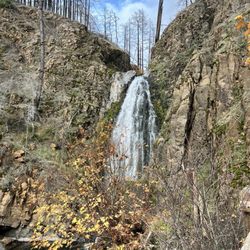
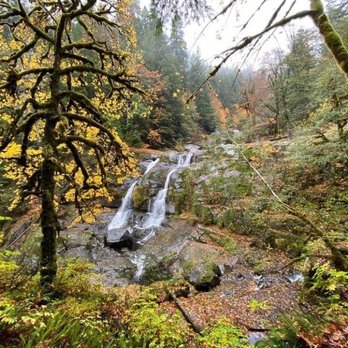
    Coquille River Falls

    5.0 (1 review)

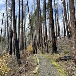
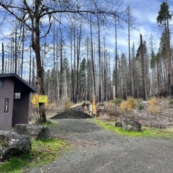
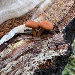
    Coquille River Falls Photos
    Recommended Reviews - Coquille River Falls

    Your trust is our priority, so businesses can't pay to alter or remove their reviews. Learn more about reviews.
    Yelp app icon
    Browse more easily on the app
    Review Feed Illustration

    6 years ago

    Helpful 5
    Thanks 0
    Love this 6
    Oh no 0

    Verify this business for free

    Get access to customer & competitor insights.

    Verify this business

    Arch Rock Viewpoint - Arch Rock Viewpoint

    Arch Rock Viewpoint

    4.8(4 reviews)
    39.8 mi

    I love this viewpoint. It's so much more than I expected. I thought we'd just get out of the car,…read moreview the big rocks and get back on the road. But no, there is plenty of parking, so much to see, a nice path/loop to walk around and wildlife to explore. This viewpoint also has a bathroom and several pick tables and benches throughout to sit and take advantage of the beautiful views. This will be a stop on all future coastal roadtrips.

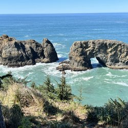
    Arch Rock Point is (in my opinion) the 2nd most popular stop along Samuel H. Boardman State Scenic…read moreCorridor. The most well known area is Natural Bridges Viewpoint which sits just 1 mile down the road. To discover Arch Rock, you walk a short pathway from the parking lot to an observation lookout. Its unique shaping can be recognized in the distance from the shoreline. According to Patrick Mueller of outdoorproject.com, "Arch Rock is a massive natural rock standing alone in the Pacific Ocean". Viewing it from high above epitomizes Oregon's rugged coastline resiliency. Years of pounding waves and natural erosion created a distinctive arch within the rock. It's a fine example which displays nature's true power and force. Arch Rock Viewpoint offers a worthwhile picture chance when the sun's reflections illuminates colorful green tones from the surrounding waters. In total, you can spend 20 minutes enjoying the moment and basking in fresh air from strong Pacific Ocean winds. Also if interested, there's a picnic area and hiking access to the Coastal Trail according to the Arch Rock Point entrance sign. One extra note to speak about...when returning back to the parking lot from the viewpoint area, the right hand side of the walkway had a good opportunity to absorb more vintage Oregon coastline perspectives. With giant rocks spread among a pristine ocean point setting, the surroundings never get old. On a larger scale, it reinforces the beauty exploring the great outdoors and a gentle reminder to never take things for granted.

    Photos
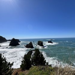
    Arch Rock Viewpoint - A quick glance at the Oregon coastline while walking to Arch Rock Viewpoint.

    A quick glance at the Oregon coastline while walking to Arch Rock Viewpoint.

    Arch Rock Viewpoint - Arch Rock is off to the right hand side in the distance.

    Arch Rock is off to the right hand side in the distance.

    Arch Rock Viewpoint - Arch Rock Viewpoint

    See all

    Arch Rock Viewpoint

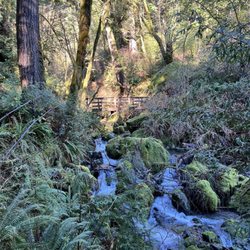
    Damnation Creek Trail - The stream

    Damnation Creek Trail

    4.8(5 reviews)
    67.0 mi

    To get to Damnation Creek Trail, you'll have to follow a short bit of the Coastal Trail (which…read morefollows the old Highway 101). It's a fun descent to the ocean, over some little bridges and through some high brush at times. Time your hike with the tides. If you reach the trail's end at low tide, you can scramble down the rocks to the rocky beach. There are succulents clinging to the rocky bluffs, wildflowers growing above the beach, and waves crashing on the seastacks. You can find tidepools with all kinds of sea life. Wear waterproof shoes. The hard part is the walk back. The hike is a dead end, and the first half is downhill. That means you'll be walking up hill (the hike begins/ends with a 1000-foot elevation) for the second leg of your hike, so pace yourself. But the views are well worth the effort. You can even cool off by walking a bit of the coastal trail when you're done. It covers part of the old highway, so it's flat and paved. In the spring there are some pretty wildflowers, too. One of my favorite hiking trails in the area.

    Beautiful ending to a hike. By the time you get to the bottom (1000 ft) on the ocean, you just…read morewant to stay. However, the climb back will hit you. If you jump into the stream it refreshes you and gets you ready for the hike back up. Takes about 2 -3 hours on a decent pace. Make sure you head down. Don't make a left or right. You will see a sign that says 1.7 miles and dead end. Follow that one. Wear hiking shoes, it gets slippery. I wouldn't do it if it was raining. It can be dangerous.

    Photos
    Damnation Creek Trail - At the bottom

    At the bottom

    Damnation Creek Trail
    Damnation Creek Trail - Set up our own crossing bridge. Or you can use the giant logs

    See all

    Set up our own crossing bridge. Or you can use the giant logs

    Coquille River Falls - hiking - Updated July 2026

    Loading...
    Loading...
    Loading...