Bradner Preserve Photos


More like Bradner Preserve
Recommended Reviews - Bradner Preserve
Start your review...

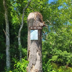
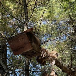
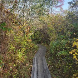
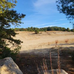
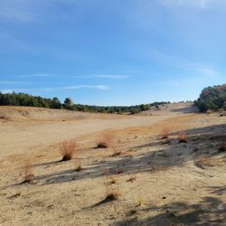
At just under two miles, the Bradner Preserve offers two well-maintained trails through the woods of Richmond, RI. Blazed in blue and yellow, the Hanging Rock Trail and Wolf Tree Trail meander through 64-acres of land donated to the Richmond Rural Preservation Land Trust by the Bradner brothers. The sloping land provides a little bit of elevation gain and some interesting sites to take in. Download the Interpretive Trail Guide before your visit and you can stop at each numbered post to learn a little bit about the land, flora, and fauna you may come across. Amongst the cinnamon fern, american beech trees, and sweet pepperbush there are two notable stops on this hike: the Hanging Rock and the Wolf Tree (for which the trails are names after). The Hanging Rock is a glacial boulder perched precipitously at the edge of a small dropoff. It's actually pretty neat how few contact points it contains. The Wolf Tree, a 160+ year old northern red oak, is an imposing and impressive presence along the yellow trail. Sprinkle in some small stream crossings, stone walls, and glimpses of nearby barns and housing... you have yourself an enjoyable jaunt through the wooded terrain. Didn't spot a great deal of wildlife during my visit. Small pull-off available for parking. read more


More info about Bradner Preserve
380 Gardiner Rd
Richmond, RI 02892
Directions
Hours
Outdoor Amenities


Bradner Preserve - hiking - Updated July 2026
Best of Richmond
People found Bradner Preserve by searching for…
Walking Trails in Richmond, RI
Running Trails in Richmond, RI
Off Leash Dog Hikes in Richmond, RI
Off Road Trails in Richmond, RI
Things to Do This Weekend in Richmond, RI
Public Swimming Pools in Richmond, RI
Waterfalls and Swimming Holes in Richmond, RI
Swimming Lakes in Richmond, RI
Places to Visit in Richmond, RI
Bird Sanctuary in Richmond, RI
Places to Take Pictures in Richmond, RI
Camping & Campsites in Richmond, RI
Browse Nearby
BEST of Richmond, Rhode Island Restaurants near Bradner Preserve
BEST of Richmond, Rhode Island Coffee near Bradner Preserve
BEST of Richmond, Rhode Island Parks near Bradner Preserve
BEST of Richmond, Rhode Island Things to Do near Bradner Preserve
BEST of Richmond, Rhode Island Swimming Holes near Bradner Preserve
BEST of Richmond, Rhode Island Breakfast near Bradner Preserve
BEST of Richmond, Rhode Island Campgrounds near Bradner Preserve
BEST of Richmond, Rhode Island Ski Resorts near Bradner Preserve
BEST of Richmond, Rhode Island Snow Tubing near Bradner Preserve


