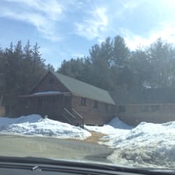
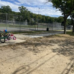
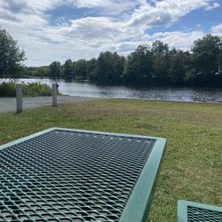
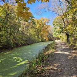
Upper Charles River Trail Photos



You might also consider


More like Upper Charles River Trail
Recommended Reviews - Upper Charles River Trail
Start your review...




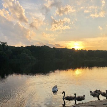
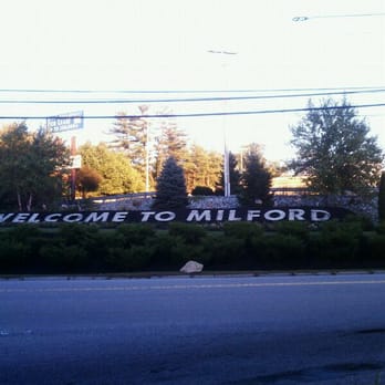
I first found out about this path when my boss took me here after work one day. He likes to go on walks to delay returning home when his psychotic girlfriend (according to him) or her psychotic 10yr old daughter (also, according to him) are too much to handle. Sometimes his goal is to wait for them to fall asleep, then go home. I duck out before it gets to that point. The Upper Charles River Trail will eventually be 24 miles long and through Milford, Ashland, Sherborn, Holliston, and Hopkinton. It's on an old CSX right of way. I believe the Milford section is the only section complete so far, roughly ~5 miles. I don't jog that long anyway, especially with the sunset getting earlier. I usually park at Fino Field and go the trail until it intersects Route 85 by the Sports Authority, then turn back. Round trip is ~4.5 miles GPSed. The trail is paved and has mile markers in 1/4 mile increments. Traffic is pretty light when I'm there; dusk, weekdays. I see more walkers and less bikers. There are unimproved trails through the woods that you can stumble into and I'm still exploring where they all go. Also, I believe what they call "Vietnam" has an entrance on the north end of the trail across US495. NEMBA actually owns it. (http://www.nemba.org/Articles/VietnamFAQs.html) I'd like to try Vietnam out, but reading reviews saying that there are "6 foot drops out of nowhere" kind of scares me. read more




8 years ago


14 years ago
More info about Upper Charles River Trail
Rt 16
Milford, MA 01757
Directions
(508) 473-7790
Call Now
Hours
Outdoor Amenities













Why does Yelp recommend reviews?
2 reviews that are not currently recommended
The reviews below are not factored into the business's overall star rating.

7 years ago

6 years ago


